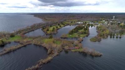
Take-out
MI
Take Out
Save this feature with the run it belongs to.
Gauge Conditions
Runnable: ? – ? CFS
Approximate - nearest available gauge. Use as general reference only.
Data from American Whitewater & USGS
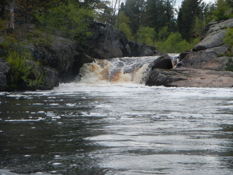
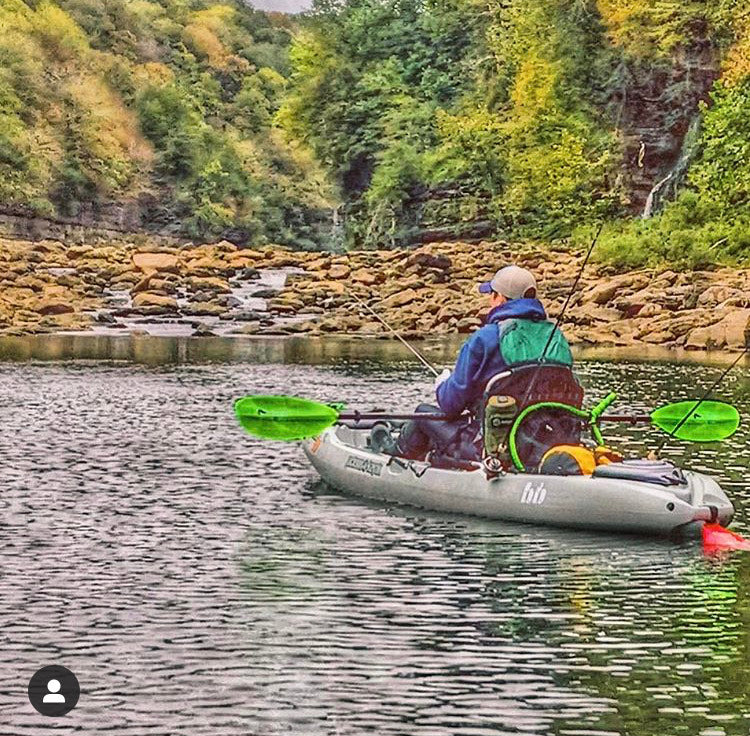
Photo
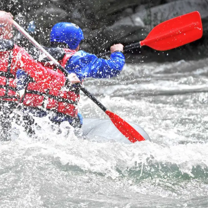
Photo courtesy of American Whitewater
Description
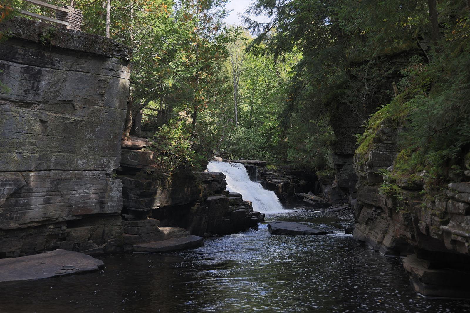
Take Out rapid marks the conclusion of this river section, characterized by a straightforward but potentially shallow approach with scattered rocky obstacles. Paddlers should be prepared to navigate carefully through potential debris and read the water surface for submerged hazards, maintaining a clean line through the final stretch before the takeout point.
Location
Other Rapids on This Run (10)


View Full Run
B) Co.Rd.CG to 1.2 mile above CR565 (10.8 miles,+1.6 miles for lower)
Escanaba, M.Br.
II-IV+
10.4 mi
Current Conditions
5-Day Forecast
Whitewater data from
American Whitewater
American Whitewater