Portage Landing
Save this feature with the run it belongs to.
Gauge Conditions
Too low for reasonable whitewater. (May be paddled as a scenic float trip, but all gradient will be a scrape or carry.)
Description
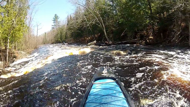
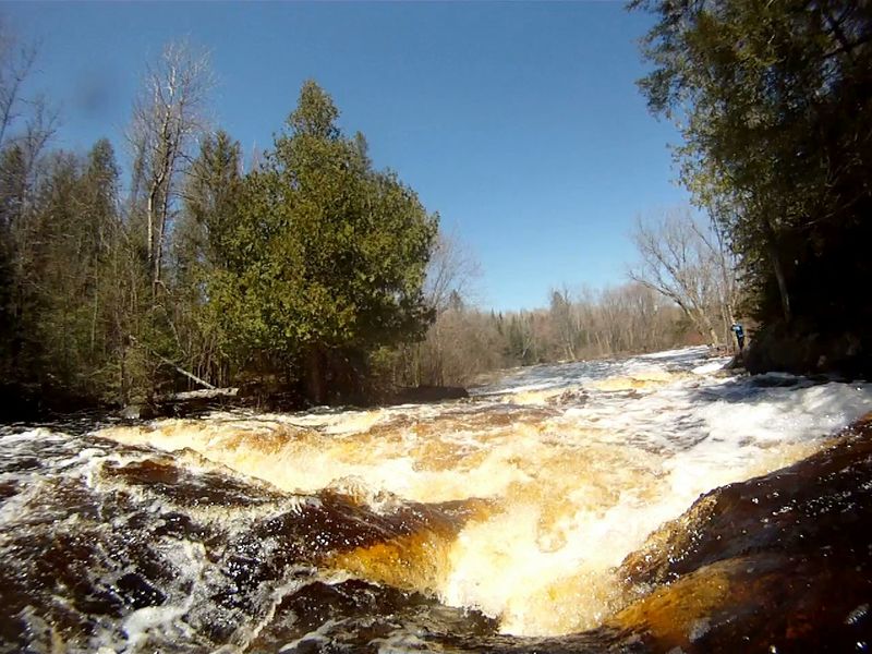
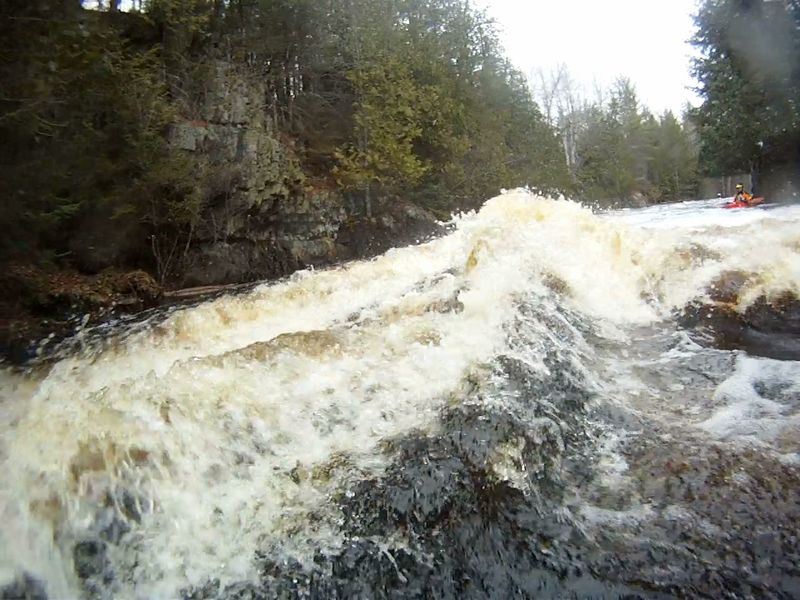
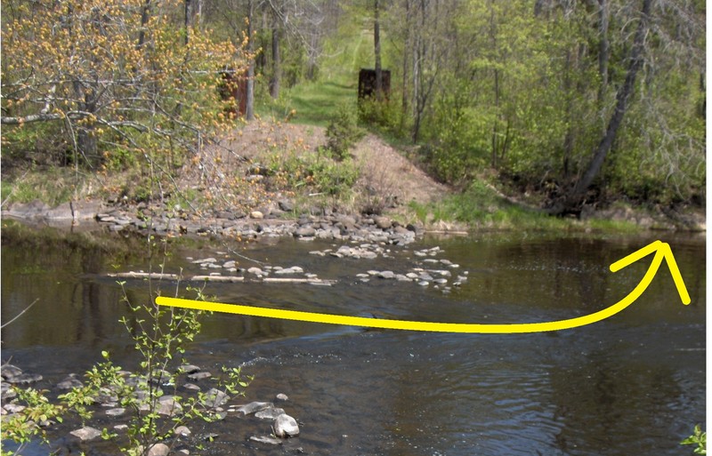
From mile 4.28 (45.832318, -88.366572) for a ¼ mile to the mouth of Woods Creek (45.834118, -88.368173) is a stretch of swifts, embedded boulders, and islands that were installed to restore this river back to some resemblance to what may have been before in-river obstacles were blown up or dragged to the riverbank during the logging era. At the end of the restoration area, a vertical wall of rock rises out of the water on river-right signaling Jennings Falls is near. Follow closely to the right, around the 2nd point into the quiet water at the unmarked landing (45.836795, -88.363941) to scout Jennings Falls. Rock outcrops appear on (or near) either shore almost all the way to the Pine River.
Location
Current Conditions
5-Day Forecast
American Whitewater