Washburn Falls
Save this feature with the run it belongs to.
Gauge Conditions
Runnable: 200.0 – 1,000.0 CFS
Too low for reasonable whitewater. (May be paddled as a scenic float trip, but all gradient will be a scrape or carry.)
Data from American Whitewater & USGS
Photo
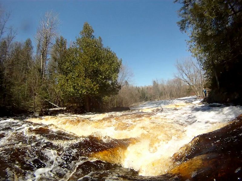
Photo courtesy of American Whitewater
Description
Washburn Falls can be reached by White Ash Rd. (45.810145, -88.363939). The gravel road (and ATV trail) is 4-miles and the last half is often rough. A parking lot and a 400-foot trail to the falls is on the left. Driving in from the east can be a rougher or impassable drive.
Location
Interactive river map
Loads as you approach this section.
View Full Run
D) Hwy 101 to Pine River (6.4 miles)
Popple
II(III)
6.1 mi
Current Conditions
5-Day Forecast
Whitewater data from
American Whitewater
American Whitewater