Portage
WI
Portage Landing
Save this feature with the run it belongs to.
Gauge Conditions
Runnable: 200.0 – 1,000.0 CFS
Too low for reasonable whitewater. (May be paddled as a scenic float trip, but all gradient will be a scrape or carry.)
Data from American Whitewater & USGS
Description
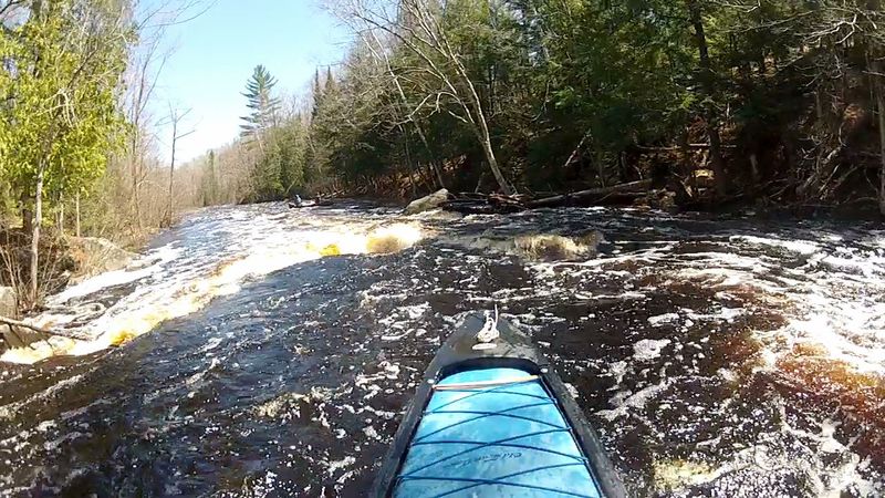
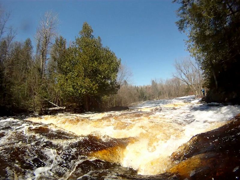
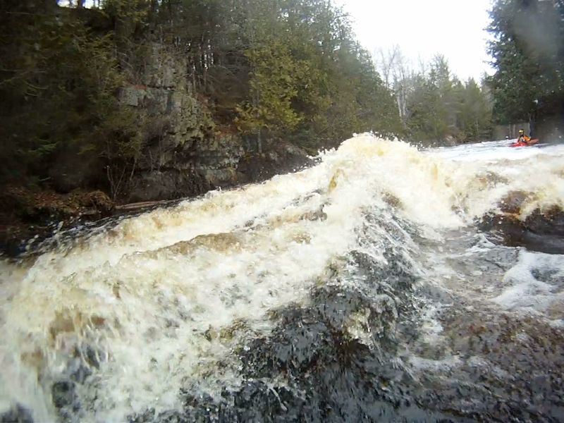
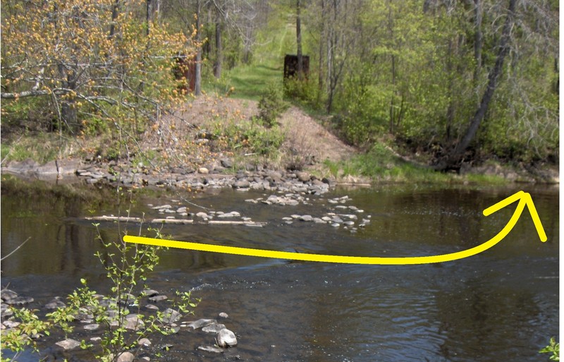
After passing an obstructing tree and a large river-right boulder (45.810524, -88.366105), the signed portage trail is 200 feet ahead on the right (45.810674, -88.365339). At low flows, submerged rocks may require going just past then coming back upriver to the landing. The portage trail is 440 feet (with a steep, rocky end) and provides excellent scouting for the falls.
Location
Interactive river map
Loads as you approach this section.
View Full Run
D) Hwy 101 to Pine River (6.4 miles)
Popple
II(III)
6.1 mi
Portage recommended — Scout before running and consider carrying around this feature.
Current Conditions
5-Day Forecast
Whitewater data from
American Whitewater
American Whitewater