Swinging Bridge (Zoom Flume)
Save this feature with the run it belongs to.
Gauge Conditions
Almost certainly too low for whitewater run.
Photo
Description
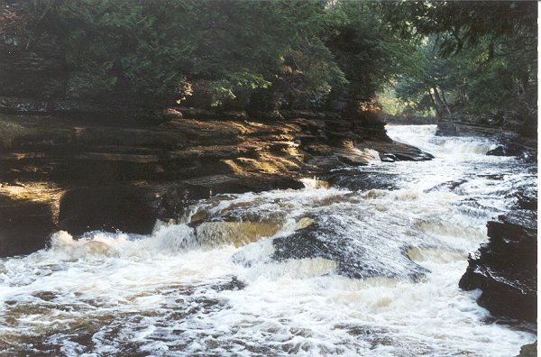
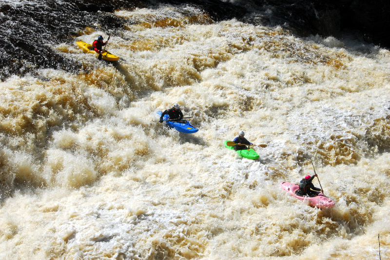
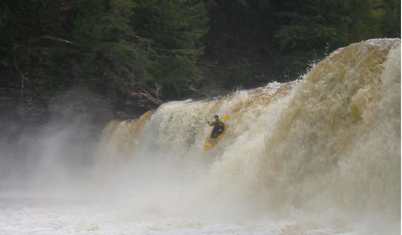
Just below Manabezho, will be a series of waves and holes (some of which may be a bit aggressive!) leading toward a LARGE island. By far the majority of the flow heads to the left. (Only at times of quite elevated flows will there be anything more than a trickle or rivulet down the right side.) As the left side heads down to pass under a suspension footbridge, you'll encounter quite a chaotic rush. It is impressive to come here at low flows to see the kettles scoured into the bedrock through this area. (Once you've seen this area 'dry', you'll see how being upside-down or out of your boat through here could be brutal.) As you pass under the footbridge the current slows as you head toward Lake Superior.
Location
Other Rapids on This Run (6)
Current Conditions
5-Day Forecast
American Whitewater