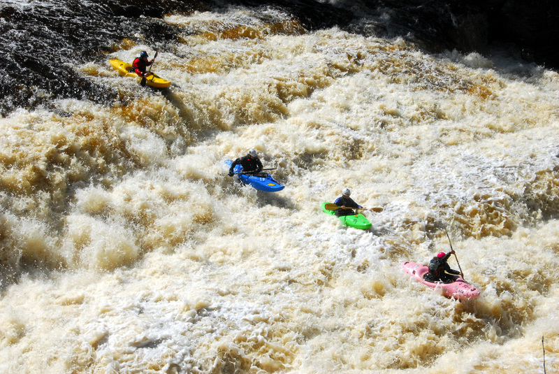
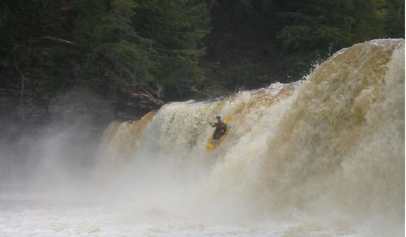
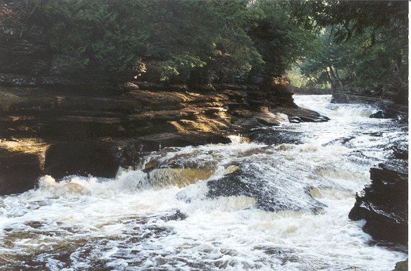
Rapid
MI
USGS site
Save this feature with the run it belongs to.
Gauge Conditions
Runnable: 6.2 – 7.0 FT
Almost certainly too low for whitewater run.
Data from American Whitewater & USGS
Description
USGS lists a site here with drainage area of 358 square miles.
Location

View Full Run
D) 'Bottom Presque': South Boundary Rd to Lake Superior (1.1 miles)
Presque Isle
IV-V
1.1 mi
Current Conditions
5-Day Forecast
Whitewater data from
American Whitewater
American Whitewater