USGS Gauge: 190 sq.mi.
Save this feature with the run it belongs to.
Gauge Conditions
Description
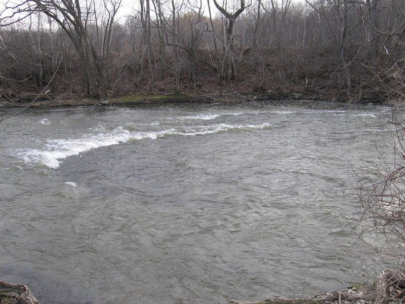
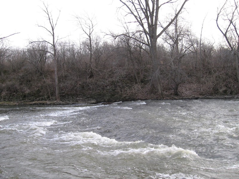
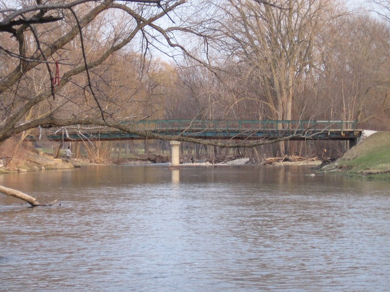
USGS lists this location as being 5.2 mi upstream from mouth. Thus, for anyone curious about paddling all the way to the lake, that would be your total distance. However, beyond our listed take-out in Quarry Park, there is very little of interest to whitewater paddlers. (There will be a few areas minor splishy-splash waves, but predominantly it will be merely swiftwater and flowing water until it reaches backwater level of Lake Michigan, which it does nearly two full miles before actually reaching the lake. (The Root River Environmental Education Community Center (REC) has canoes and kayaks for rent (roughly Memorial weekend through end of September). Recreational paddlers talk about "paddling the Root River" as they paddle this area, which (to me) is really just an extension of the lake and the harbor, easily paddled upstream nearly as easily as downstream at all but the highest flows.)
Location
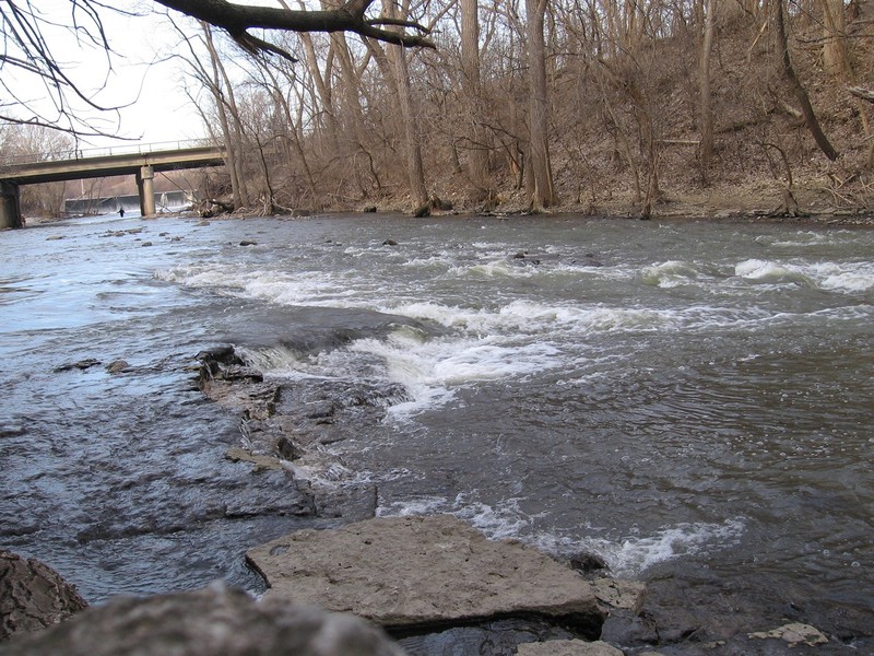
Other Rapids on This Run (16)
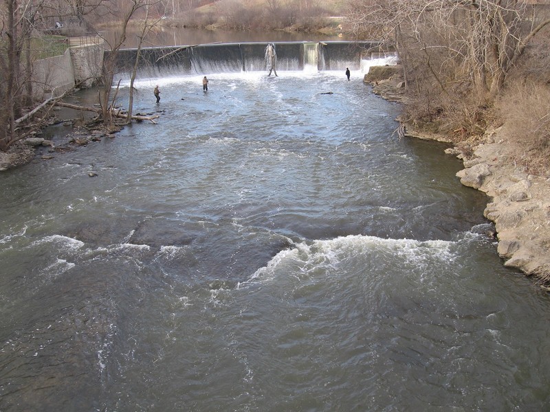
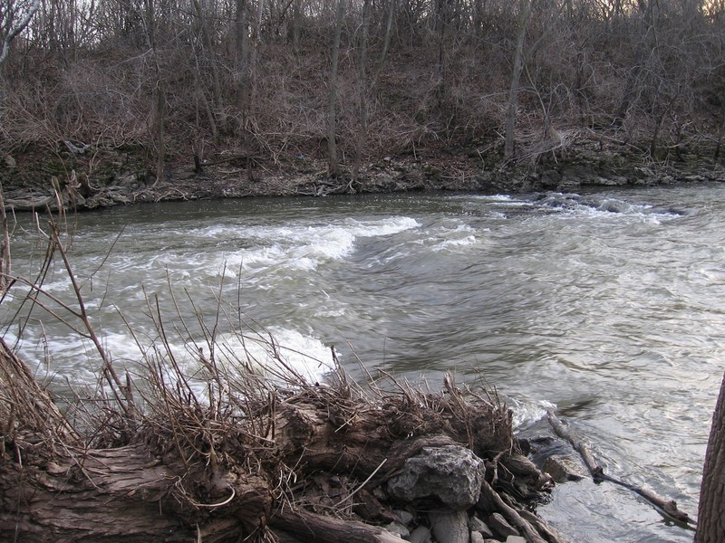
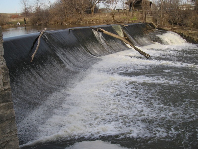 Waterfall
III+
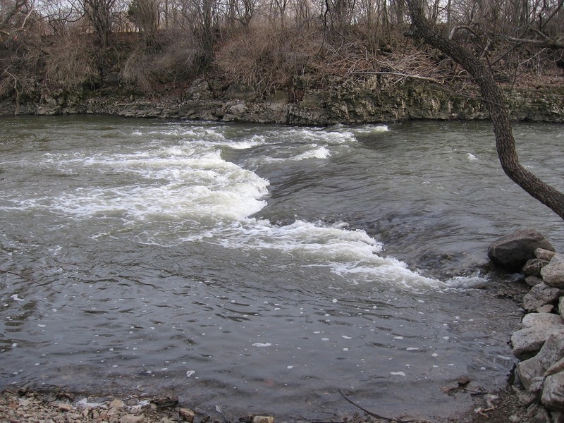
Waterfall
III+
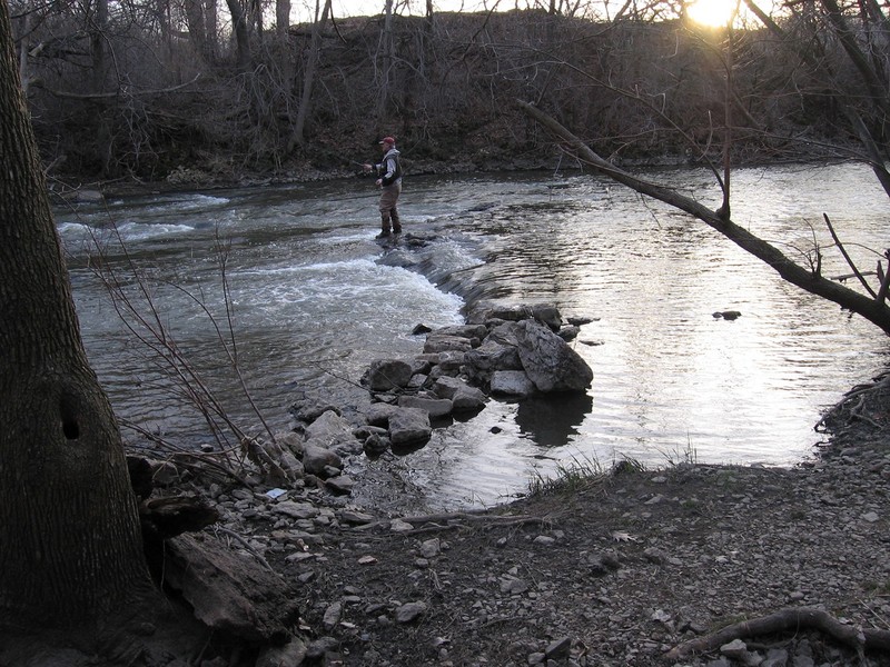
 Playspot
II
Playspot
II
 Playspot
II
Playspot
II
 Playspot
N/A
Playspot
N/A
 Playspot
I
Playspot
I
 Playspot
II
Playspot
II
 Playspot
II+
Playspot
II+
 Playspot
II
Playspot
II
 Playspot
II
Playspot
II
 Playspot
II
Playspot
II
 Playspot
III+
Playspot
III+
 Hazard
N/A
Hazard
N/A
Current Conditions
5-Day Forecast
American Whitewater