A) W.Town Hall Road to Morgan Rd. (3.8 miles) ** ACCESS ISSUES **
Gauge Conditions
Runnable: 200.0 – 600.0 CFS
Data from American Whitewater & USGS
Run Map
Interactive run map
Loads as you approach this section.
Run Time Estimate
Select put-in and take-out to estimate time.
Plan This Trip
See wind-adjusted speed maps, forecast planning, and detailed time estimates.
Sign in to generate an AI timing estimate for this run.
Whitewater timing varies with scouting, portages, and group pace. Use as a planning baseline.
Description
\\*\\*\\* NOTE: map above shows historic full run, no longer legal to paddle. READ THE NOTICE IN THE 'RIVER FEATURES' SECTION \*\*\*
Location: 14.1 mi NW of Shawano WI, 22.4 mi SE of Antigo WI.
Put-in (parking): 44.8993, -88.8449 (W.Town Hall Road, wayside parking for maybe 2-3 vehicles)
Take-out (parking): 44.8993, -88.8449 (Morgan Road, at CTH.A)
Shuttle: 3.7miles/~7 minutes _Link for Shuttle Map_
Character: rocky riverbed, wooded shores, islands splitting the flow.
River banks: Generally reasonable egress throughout, with rocky or grassy banks.
Typical width: 30-50 ft. (somewhat narrower where islands divide the flow)
Put-in elevation is approximately 986'
Take-out elevation is approximately 931'
Total drop is approximately 55'
Average Gradient: 14.3 FPM
Maximum full-mile Gradient: 24 FPM
10/85 Gradient Upstream of Put-in: 14 fpm
Percent Developed Upstream of Put-in: 3.5 %
(The higher the above two values, the 'flashier' the stream will be.)
Drainage area at put-in: 117 square miles
Drainage area at take-out: 128 square miles
Drainage increase: 9.4%
\\*\\*\\*\*\*\*\*\*\*\*\*\*\*\*\*\*\*\*\*\*\*\*\*\*\*\*\*\*\*\*\*\*\*\*\*\*\*\*\*\*\*\*\*\*\*\*\*\*\*\*\*\*
The Upper Red was among the favorite central Wisconsin spring time runs until loss of access to nearly half the run (and the biggest drop, Suzie's) significantly diminished it's appeal.
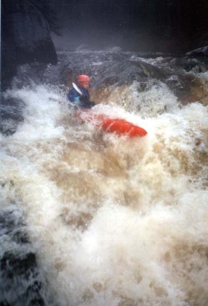
This section is very 'pool/drop', with drops coming where the river cuts over splines of bedrock. The majority of the drops are short and fairly steep, with recovery in the pools below.
Rapids in this Run (8)
Waterfalls (2)
Playspots (1)
Hazards & Portages (1)
Caution: The following locations may require scouting or portaging. Always check current conditions.
Difficulty
Class I-III(IV)
Length
8.1 mi
Gradient
15 ft/mi
max 26
Rapids
8
1 Hazard
Access Points
Shuttle Info
From Gresham, drive west on Cty A about 1.5 miles, Cty A turns to the right (north). Continue north on Cty A for about 1.25 miles to the next intersection, Cty A turns to the left (west) but you will wish to continue straight on Morgan Rd. This intersection is your take-out. Cross the river and continue on Morgan Rd to the town of Morgan. Morgan Rd ends in a "T" intersection. You will turn left (west) onto River Road. Continue on River Road to either put-in. Please see info and advice in description.
Difficulty Classes
I Easy
II Novice
III Intermediate
IV Advanced
V Expert/Extreme
VI Unrunnable
Current Conditions
5-Day Forecast
Whitewater data from
American Whitewater
American Whitewater