S-curve
Save this feature with the run it belongs to.
Gauge Conditions
Data from American Whitewater & USGS
Description
Shortly after Surprise, there is an easy lead-in to a constriction that turns hard right, then back left in quick sequence. Expect a hole on the outside of the first bend up against the rock and watch for trees here as they tend to collect between the turns. As with all the drops on this reach, if you do not have the skills or confidence to boat scout this from eddy to eddy, and cannot see clear to the bottom, get out and take a look.
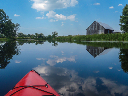
As you finish this final rapids, you are very nearly in the backwaters of Gresham Pond 147 (AKA Upper Red Lake), which means most of the final mile (+/-) of this run will be slow going (little-to-no current).
Location
Interactive river map
Loads as you approach this section.
Other Rapids on This Run (12)
 Hazard
N/A
Hazard
N/A
**** NOTICE ****
Rapid
N/A
River Road / Besau's Bridge
 Waterfall
N/A
Waterfall
N/A
Boulder Choke
 Waterfall
IV
Waterfall
IV
Suzie's Falls
Rapid
N/A
Confluence W.Br.Red
Rapid
N/A
Town Hall Road / Res.Hwy.22 Wayside (Upstream-most legal access)
Rapid
N/A
USGS gauge location
 Rapid
III
Rapid
III
First Island Falls
Rapid
III
Second Island (Bridge) Falls
 Playspot
II
Playspot
II
Farm Dam
Rapid
II+
Surprise
Rapid
N/A
Take Out
View Full Run
A) W.Town Hall Road to Morgan Rd. (3.8 miles) ** ACCESS ISSUES **
Red
I-III(IV)
8.1 mi
Current Conditions
5-Day Forecast
Whitewater data from
American Whitewater
American Whitewater