Waterfall
WI
Boulder Choke
Save this feature with the run it belongs to.
Gauge Conditions
Data from American Whitewater & USGS
Photo
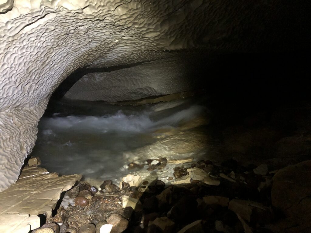
Photo courtesy of American Whitewater
Description
Look for a pooling and a narrow drop between boulders. At times in the past, trees have lodged against the boulders, raising the height of the drop to about 4', and may sometimes obstruct the channel. At high flows, there is a hole which may backender boats here. Below, there is a good recovery area and then an "S" drop (left then right) which can have a very low footbridge in the outflow. The footbridge is not anchored well so at times, higher flows will push this aside to allow passage. Use eddies and exercise caution here. A flatwater section follows.
Location
Interactive river map
Loads as you approach this section.
Other Rapids on This Run (12)
 Hazard
N/A
Hazard
N/A
**** NOTICE ****
Rapid
N/A
River Road / Besau's Bridge
 Waterfall
IV
Waterfall
IV
Suzie's Falls
Rapid
N/A
Confluence W.Br.Red
Rapid
N/A
Town Hall Road / Res.Hwy.22 Wayside (Upstream-most legal access)
Rapid
N/A
USGS gauge location
 Rapid
III
Rapid
III
First Island Falls
Rapid
III
Second Island (Bridge) Falls
 Playspot
II
Playspot
II
Farm Dam
Rapid
II+
Surprise
Rapid
II
S-curve
Rapid
N/A
Take Out
View Full Run
A) W.Town Hall Road to Morgan Rd. (3.8 miles) ** ACCESS ISSUES **
Red
I-III(IV)
8.1 mi
Current Conditions
5-Day Forecast
Whitewater data from
American Whitewater
American Whitewater