**** NOTICE ****
Save this feature with the run it belongs to.
Gauge Conditions
Photo
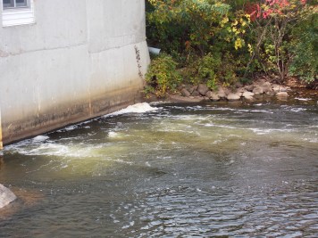
Description
Half of the reach as it was historically boated lies within tribal lands of the Stockbridge-Munsee Community Band of Mohican Indians. Under current Tribal Law, all non-tribal members are banned from accessing any waters within their tribal lands.
Exactly as on the Menomonee Reservation, punishment (if you are caught) can include not only a fine and/or imprisonment, but may also include confiscation of all material items used in commission of the trespass. This could mean not only your boat and gear, but the vehicles you used for the shuttle!
In the past there had been a suggestion that paddlers could secure permission from a tribal conservation officer. However, (as of Aug.2007) reports are that all such requests are being denied. Thus, the first half of this section should be considered OFF LIMITS until or unless arrangements and agreements (such as are in place with the Menominee for Sec.4 of the Wolf) might be worked out.
We have left description of the upper part of the run in place, in the remote possibility that such agreements might ever be made. All features in the upper part of the run have been designated by negative mileage (I.E., distance upstream from the location of the first access not involving trespass).
Location
Other Rapids on This Run (12)
 Waterfall
N/A
Waterfall
N/A
 Waterfall
IV
Waterfall
IV
 Rapid
III
Rapid
III
 Playspot
II
Playspot
II
Current Conditions
5-Day Forecast
American Whitewater