C) 1.2 mile above CR565 to 0.4 mile below CR565 (1.6 miles)
Gauge Conditions
Runnable: ? – ? CFS
Approximate reading: This gauge is 15.2 miles away on Escanaba. Use as a general reference only.
Data from American Whitewater & USGS
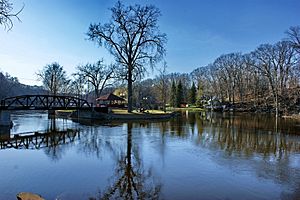
Run Map
Run Time Estimate
Select put-in and take-out to estimate time.
Plan This Trip
See wind-adjusted speed maps, forecast planning, and detailed time estimates.
Sign in to generate an AI timing estimate for this run.
Whitewater timing varies with scouting, portages, and group pace. Use as a planning baseline.
Description
This short section containing about six good rapids will most often be included as the conclusion of the upper run. I have opted to list it separately, since many boaters (at least on some occasion) may not want (or have time) to paddle the longer run with all it's flatwater, but may be looking for some good action in this area. Some examples:
(1) if weather is cold and nasty, but you really want to paddle _something_, or
(2) if you had hoped to catch the Yellow Dog or the Carp, but found them too low . . . now the day is half-shot, but you want to get on the water, or
(3) you're just not sure you want to deal with all of the early drops (likely portages for less confident or experienced paddlers).
This short piece should fill the bill, with a nice mix of drops: a short squeeze (with some possible play), a blind twisting (around an island) drop, a boulder-garden rock-dodge, a constricted little flume, another boulder-garden, and a short boof drop.
* * *
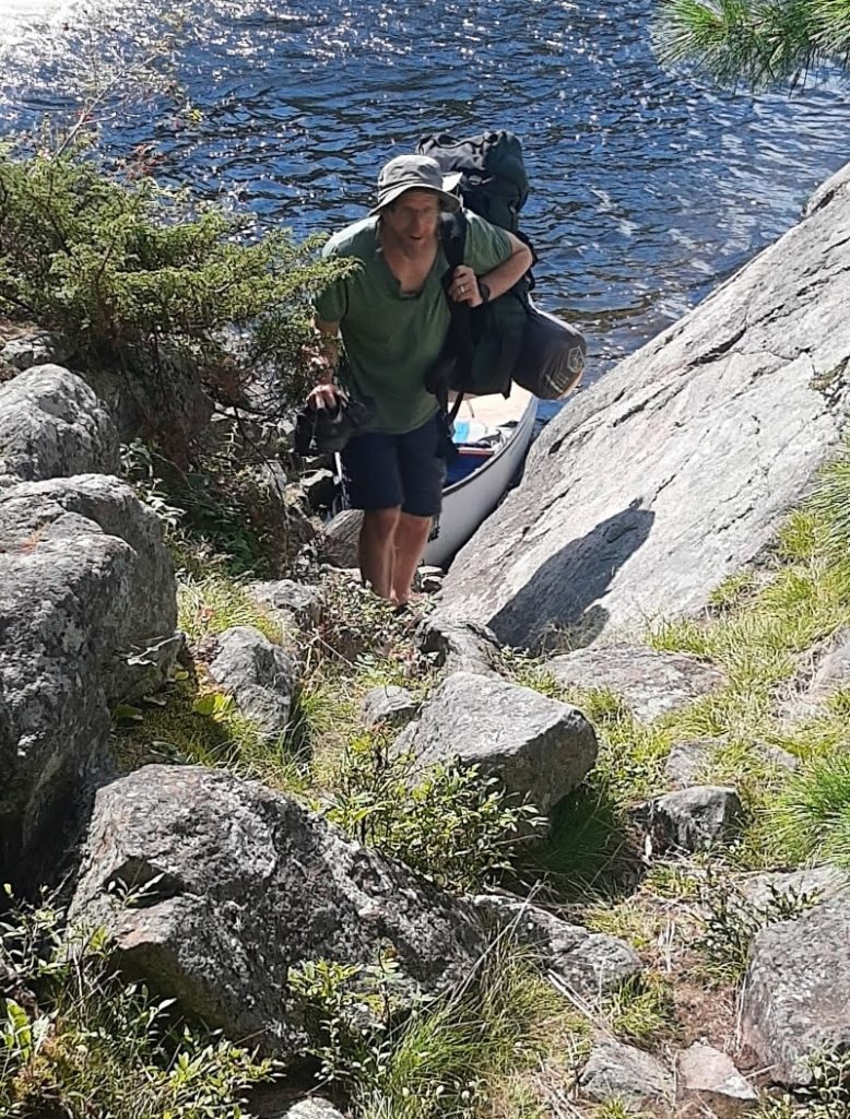
Put-in is at the end of a dead-end road about 0.8 mile north of the CR565 bridge. Land is all privately held. Please do not drive (or park vehicles) on the lawn. Park away from the house, and secure permission (if owners appear to be present). Property owner at this location (as put-in for the lower stretch and listed take-out for the upper stretch) have been very boater-friendly by all reports thus far. PLEASE BE ON YOUR BEST BEHAVIOR so as not to jeopardize this for all future boaters of these runs!
The take-out is also all privately held. Please make every attempt to secure permission before parking a vehicle on or near any private property and trespassing to exit the river. The best take out would be from one of the two houses at the end of the road which parallels the river downstream-left (just north from the CR565 bridge). More often than not, we have had difficulty finding people home here, but when found (years back) they had generally been quite friendly and gracious. We have recent reports this may no longer be the case. If you do find a property owner to ask for permission to park or even to just walk across their property, be as humble and gracious as possible. If they do grant you any permissions, thank them sincerely, and be certain to do your best to be absolutely clear on where to park (if granted) or where to walk or stay clear of, and by all means attempt to be on your best behavior and leave no sign of your passing (leave no trash behind). If they deny you (which they are totally within their right to do), do your best to smile and thank them and leave without making a scene. If you do not find a property owner and get permission, DO NOT PARK OR WALK ON PRIVATE PROPERTY! (Keep in mind, while you have the right to be on the river, if you do not obtain permission _you do NOT have any right to use private property to get on or off the river!_) Either try for permission from some other property owner, suck-it-up and paddle further downstream to take out, or skip this run and go elsewhere. Unfortunately, there is virtually no parking along County Road 565, and no way to exit the river at 565 without using private property (since the rapids start above and end below, and are very swift right under the bridge).
* * *
From the put in, it is about a 1/4 mile paddle to the first drop. A granite hump in the middle pushes most of the water to the right. A tricky S-turn current makes it more difficult than it looks (II-III). The run out below is deep, so go for it. At levels over 700 cfs this area will contain a sticky hydraulic.
A few minor waves and a brief flatwater paddle will bring you to an island which seems always to have heaps of trees and debris piled up ahead of it.. Approach Log Jam (III+) cautiously to determine which route is most viable. Be prepared to scout, either from the island or the right shore. The 'round-house' route to the right has more gentle, gradual drop, or (if you can get through (around, or over the snags) on river left, you'll be greeted by a short slide into the current which wrapped around to the right. Following the island, the re-combined flow takes a quick right bend and spills down a boulder bed drop.
Shortly downstream, two more boulder bed rapids should be boat scoutable. Have fun eddy hopping, creating hero lines, and boofing rocks as you work your way through this great section.
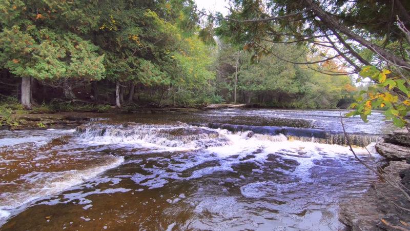
After the second boulder bed you will see the road/bridge and the start of 5-6-5 Falls(III-IV). This one should be scouted ahead of time from the bridge (when you are setting shuttle), since it is flanked by private property (houses) on both sides. It contains a series of holes and waves that are fun but can be difficult depending on the water level. At 700 cfs this a very pushy, fast rapid. Water constricts leading into and under the bridge, before spilling out from under it across a couple wide ledges of rock and into a good recovery pool.
Just downstream is a steep, boulder bed rapid, Lower 5-6-5(III-IV). Scouting this drop is advised, but is not easy. Good boaters should be able to eddy hop and boat scout to make sure not to run pell-mell into a snag which may occasionally lodge in here.
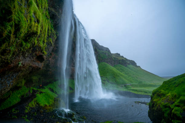
Don't get out yet! If you continue downstream (beyond the last house on the hill on the left, with a huge mowed yard down to the river), you will soon come to pretty decent sized island which divides the river, and each side contains a waterfall. Scout from the island. Both sides are runnable. The left side is fairly straightforward and fun (Sweet side), while the right side has far more confused an approach and more complicated landing.
After making whatever runs of these falls you choose to try, carry back up above this drop and paddle back upstream to the take out you have pre-arranged.
* * *
The resolution on Google Maps for this area is quite good. We highly recommended going to the 'Map' tab, clicking 'USGS Aerial', double-clicking the put-in, zooming in to the maximum resolution available, and doing a 'virtual walk' of this reach!
Rapids in this Run (7)
Waterfalls (1)
Playspots (1)
Hazards & Portages (1)
Caution: The following locations may require scouting or portaging. Always check current conditions.
Difficulty
Class II-IV
Length
1.4 mi
Gradient
38 ft/mi
max 60
Rapids
7
1 Hazard
Access Points
Shuttle Info
Note: the take-out coordinates are (at once) both quite accurate and yet a little misleading. Most boaters will want to proceed beyond those coordinates to catch one more drop, then portage back above the drop to paddle (flatwater) upstream to the prior access point.
Additionally, for some odd reason, the mapping software does not seem to recognize or properly show the road which parallels the river to the north (river-left). (Perhaps because it becomes mostly a private driveway beyond some point.) As a result, the default shuttle map below takes you down river-right.
All land here is private property, and we have seldom been successful at finding owners at home.
All of which is to say that you may need to ignore the specific directions below depending on where you can secure permission from a property owner, or how you otherwise manage to make your take-out.
Difficulty Classes
I Easy
II Novice
III Intermediate
IV Advanced
V Expert/Extreme
VI Unrunnable
Current Conditions
5-Day Forecast
Whitewater data from
American Whitewater
American Whitewater