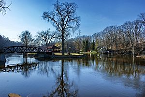
Logjam Island
Save this feature with the run it belongs to.
Gauge Conditions
Approximate - nearest available gauge. Use as general reference only.
Photo
Description
A massive logjam has (for years) accumulated at the head of an island, all but blocking the flow of the river. Two routes may be possible.
If passage is clear to the right, the river takes a round-house turn, losing the gradient gradually, through continuous waves. Caution (scouting, or careful boat-scouting) is urged, as there is not likely to be much for eddies if you need to break out to avoid any wood which may be lodged round the bend out of sight.
If you can make it over, around, or through the wood which generally blocks the left side, water drops off a steeper plunge, to rejoin flow which comes around from the right. Caution! There are some piton rocks on this route!
The rejoined flows then zig and zag a bit, through waves and a few holes before the action subsides.
Location
Other Rapids on This Run (11)


Current Conditions
5-Day Forecast
American Whitewater