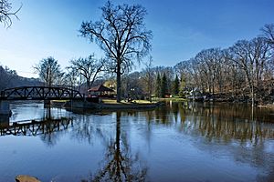
Three Mile Island
Save this feature with the run it belongs to.
Gauge Conditions
Approximate - nearest available gauge. Use as general reference only.
Photo
Description
For anyone wondering what's downstream of all the wonderful action in the listed sections . . . or for anyone unable/unwilling to secure permission to exit the river on the private properties at CR565 . . .
If you continue downstream of HS/SS, you'll have nearly 2.66 miles of flatwater until you encounter a HUGE island splitting the flow. (I have no idea if it has a proper/formal/local name, but I call it Three Mile Island, because it lies almost precisely three river-miles downstream of the CR565 bridge. It is nearly 3/4th square mile or 470 acres in size! At it's widest point, the river channels are nearly 1.2 miles apart!)
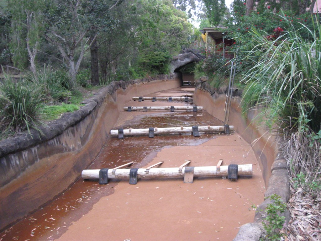
The left channel (the wider channel, carrying most of the flow) starts out with a fun combination drop, flanked by scenic rock shores.
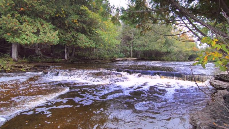
I've not paddled the right channel, but it appears to have its best constriction and rapids about a half-mile down from the head of the island.
Other than those, unfortunately you'll find little else exciting . . . maybe a few decent riffles and rips . . . til the currents rejoin (about 2miles downstream from the head of the island!). It will be nothing but flatwater the rest of the way down to Hwy.35 (the next major road crossing).
Location
Other Rapids on This Run (11)


Current Conditions
5-Day Forecast
American Whitewater