*Possible Alternate Exit*
Save this feature with the run it belongs to.
Gauge Conditions
Approximate - nearest available gauge. Use as general reference only.
Description
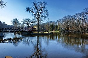
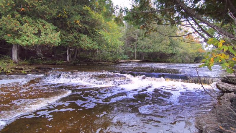
If/when permission for access/egress is not found from any private property owner around CR565 (to portage and paddle back upstream of HS/SS), on at least one occasion in the past, we parked at a wide spot (short of the bridge over Flopper Creek) on a road back into the woods, hiked down to have a look at the confluence of M.Br.Esc with Flopper Creek (to have a good mental image of what we would be looking for), and used this as a take-out.
If this road has not been gated or posted against trespass (uncertain/unknown at this time), it may be an option. We make no warranty regarding legality of this location. (I.E., do so at your own comfort, risk, and peril).
Location

Current Conditions
5-Day Forecast
American Whitewater