C) Devil's Gate to Elm Hoist Rd (4.3 to 19.5 miles) ** ACCESS ISSUES **
Gauge Conditions
Runnable: 300.0 – 1,500.0 CFS
Likely a bit low (or way low) for good whitewater.
Data from American Whitewater & USGS
Run Map
Run Time Estimate
Select put-in and take-out to estimate time.
Plan This Trip
See wind-adjusted speed maps, forecast planning, and detailed time estimates.
Sign in to generate an AI timing estimate for this run.
Whitewater timing varies with scouting, portages, and group pace. Use as a planning baseline.
Description
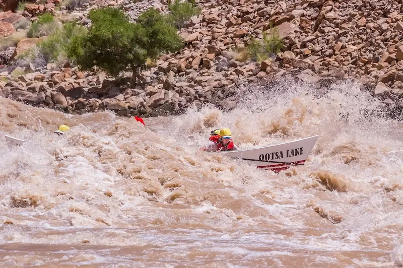
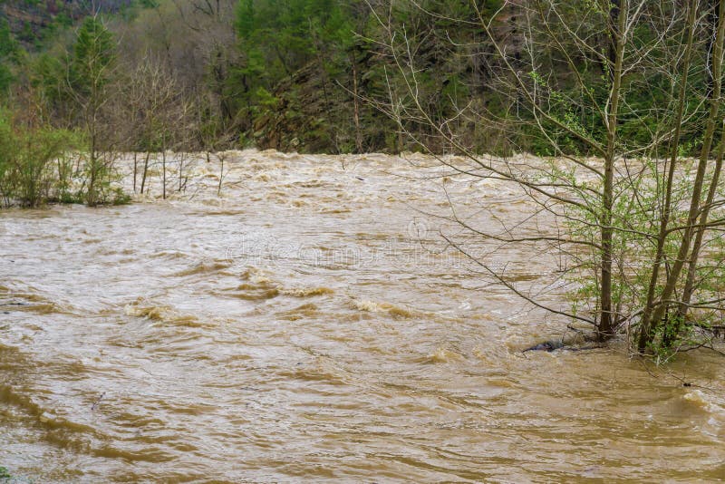
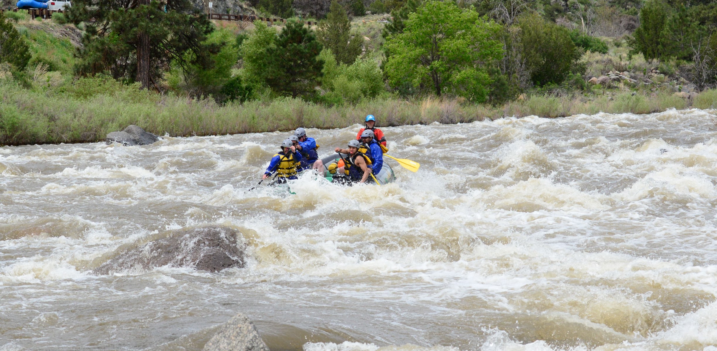
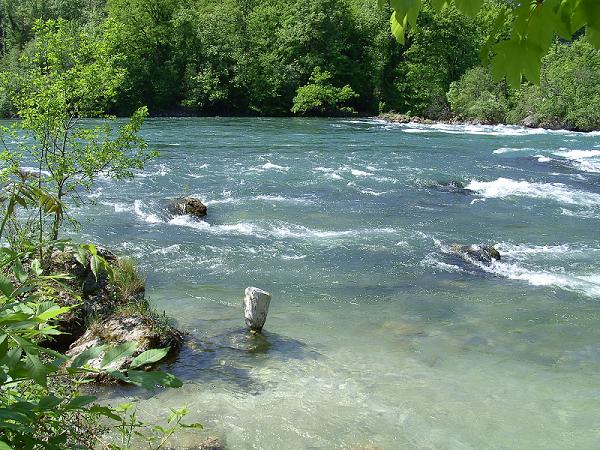
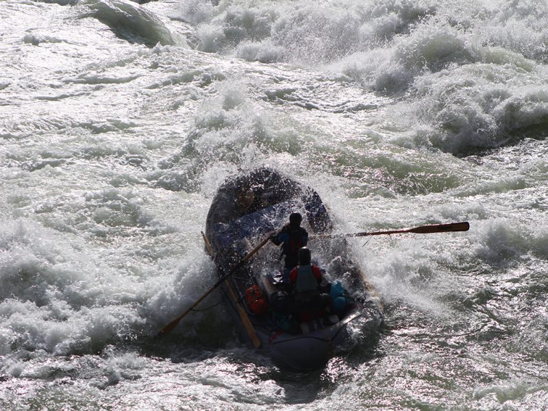
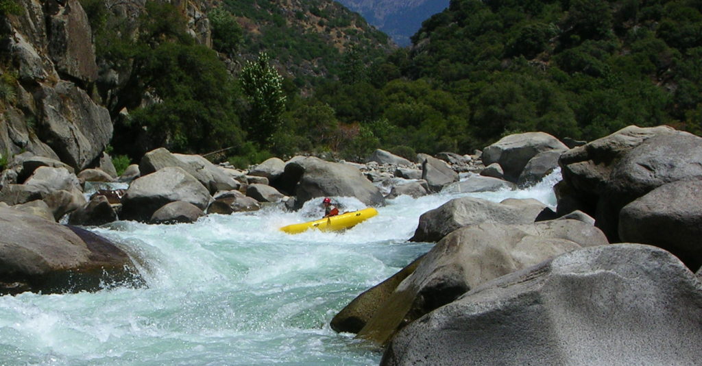
Put-in involves carrying nearly a half-mile to put in at the Devil's Gate footbridge (the earliest legal put-in below Copper Falls). On river, much of the early going passes impressive sheer walls up to 200' tall. Rapids are generally boulder-gardens and wave-trains, with a few random ledge/waves. The majority of our recommended, shortened run is within Copper Falls State Natural Area (though there are a few random inholdings of private property).
We are unsure of viability of our listed access for take-out before entering the reservation. Anyone out there have the scoop on this? Help out your fellow boaters via the "Add a Comment" button which should appear below for all registered, logged-in users!
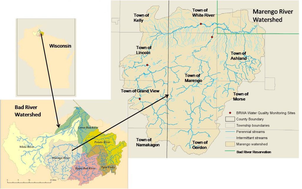
Beyond our recommended take-out(s), you enter the Bad River Indian Reservation. Light rapids continue intermittently down to the confluence with the Marengo River, and (ever lighter and more inttermittently) to the Potato River, but you'll have increasing flat water and meanders to the take-out at Elm Hoist Road (as has been listed in many old river guidebooks). Additionally, if you do plan on that full run, permission is required from Bad River Band of Lake Superior Chippewa.
Rapids in this Run (16)
 Rapid
Rapid
Drainage: 213 sq.mi.
 Rapid
Rapid
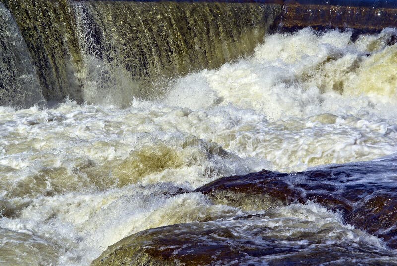
Ledge/wave
Rapid
Ledge/wave
Rapid
Ledge/wave
 Rapid
Rapid
High Wall
 Rapid
Rapid
Slim Islands
Rapid
High Wall
Rapid
Ledge/wave
 Rapid
Rapid
Last evident possible egress
 Rapid
Rapid
Boulderbed Resumes
 Rapid
Rapid
Longer Boulderbed Rapids
 Rapid
Rapid
Possible ledge/wave/hole
 Rapid
Rapid
Confluence, Marengo River
 Rapid
Rapid
Confluence, Potato River
 Rapid
Rapid
Railroad
 Rapid
Rapid
Elm Hoist Road: 597 sq.mi.
Hazards & Portages (1)
Caution: The following locations may require scouting or portaging. Always check current conditions.
Difficulty
Class I-III
Length
4.1 mi
Gradient
35 ft/mi
max 45
Rapids
16
1 Hazard
Access Points
Shuttle Info
Put-in is via a half-mile hike. Take-out is on double-track or logging roads (unknown to Google). Thus, mapping/routing/directions are likely to be incomplete. You are left to your own devices to resolve final details of river access.
Please respect all State Park rules (for put-in), and (for take-out) posted lands and private property. Attempt to find owners and obtain permission before driving, parking, or hiking across private lands.
It can be advantageous (particularly on longer runs, with longer shuttles) to _**meet at the take-out**_ (where possible), gear-up, swap boats & boaters into shuttle vehicle(s), leaving 'drop' vehicle(s) at the take-out.
Unless you have non-boating/shuttle-only drivers, meeting at the put-in means at least _some_ vehicles/drivers have to drive _**downstream and back up**_ before the group starts down the river. You are looking at something near an hour (or more) that some (non-driving) boaters will sit idle while shuttle is run.
Meeting at the take-out, leaving one or more vehicles there, and then shuttling up means no boaters sit idle before the run, and the before-trip shuttle is only one-way, saving some time. There are times when that 'extra' time could make a difference on the river! It will help if you think of it this way: you (always) _**run the river top-to-bottom**_ \-\- whenever possible, _**run the shuttle bottom-to-top**_.
IF you wish to get travel routing to the 'historic' suggested take-out at Elm Hoist Road, use the following coordinates: 46.48706 -90.6952
Difficulty Classes
I Easy
II Novice
III Intermediate
IV Advanced
V Expert/Extreme
VI Unrunnable
Current Conditions
5-Day Forecast
Whitewater data from
American Whitewater
American Whitewater