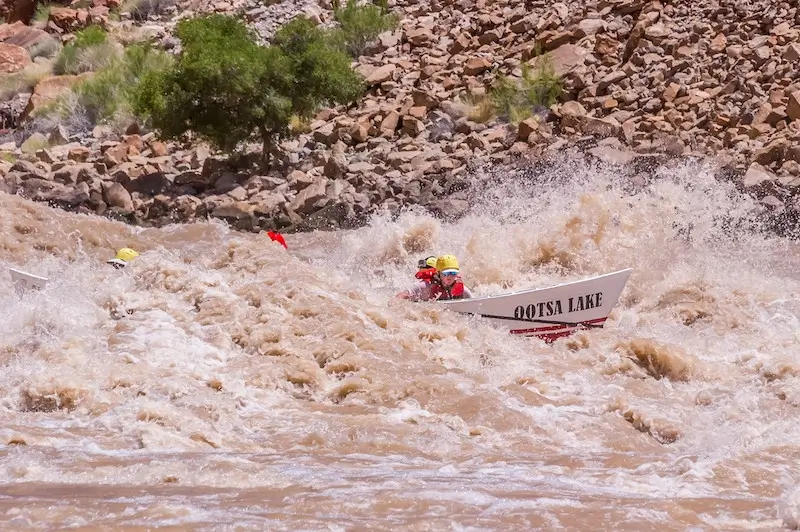
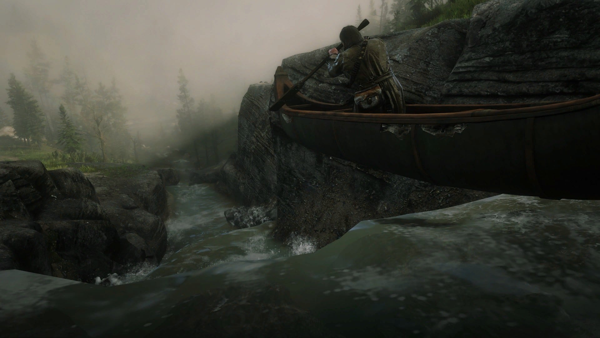
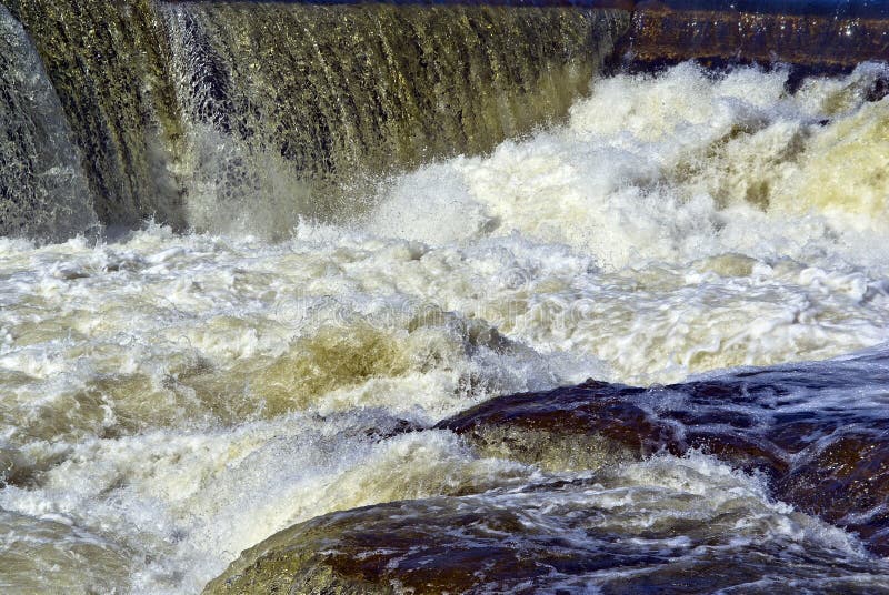
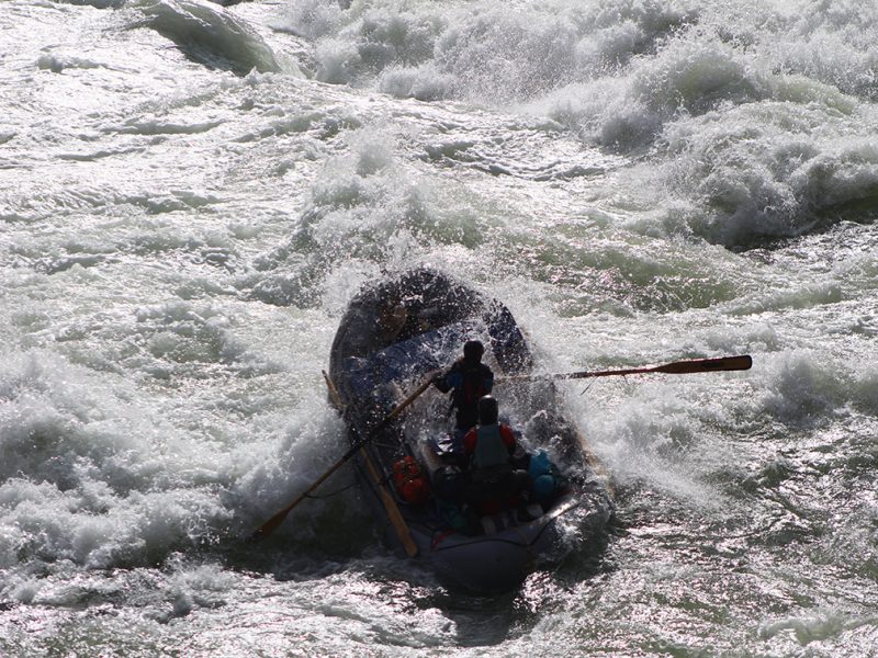
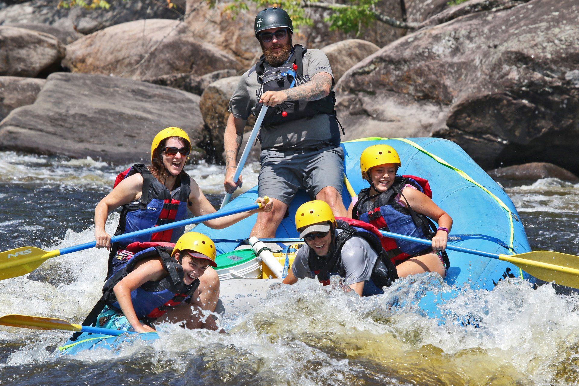
Ledge/wave
Save this feature with the run it belongs to.
Gauge Conditions
Likely a bit low (or way low) for good whitewater.
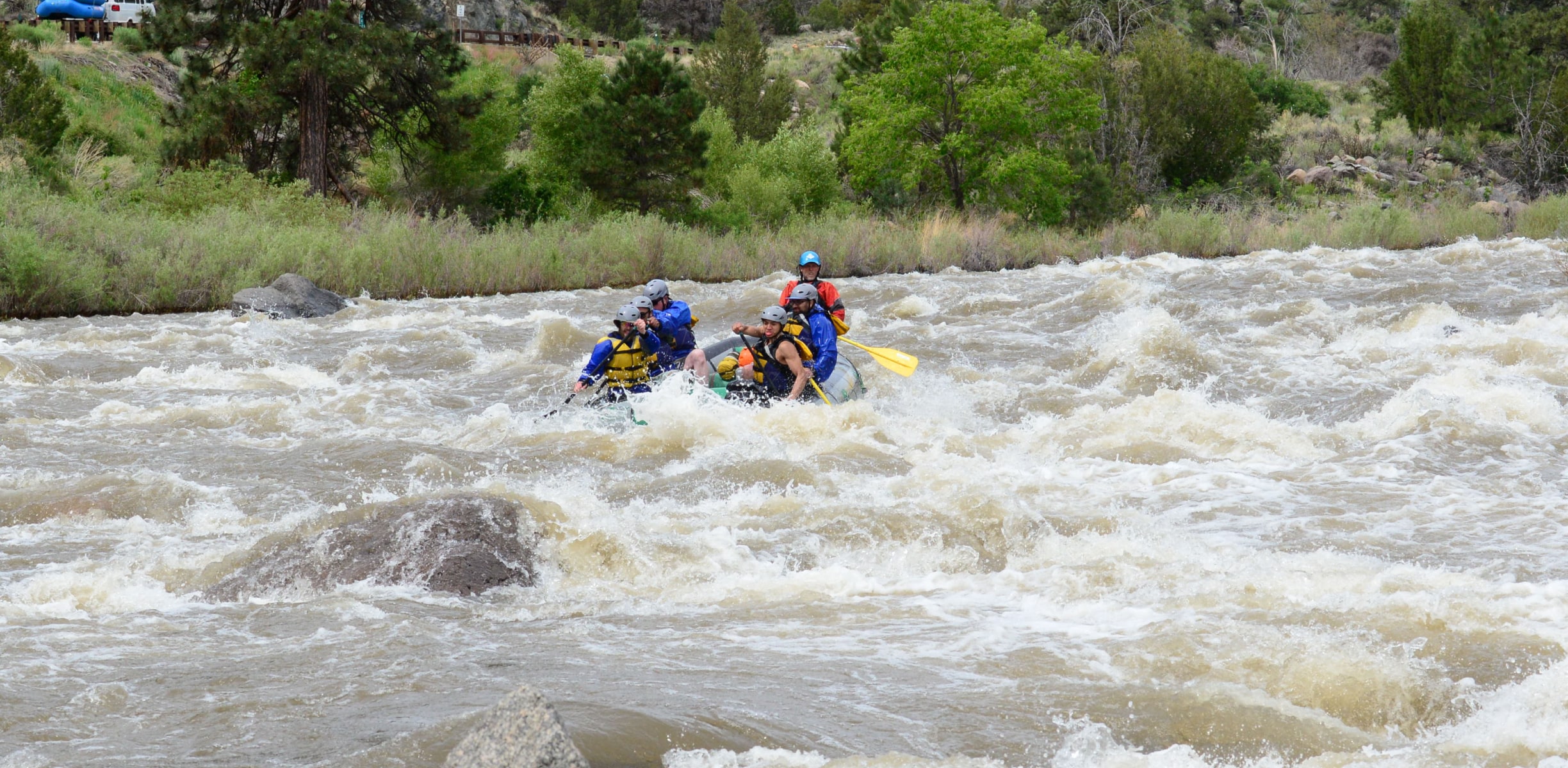
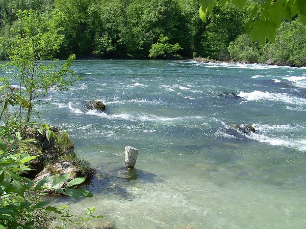
Photo
Description
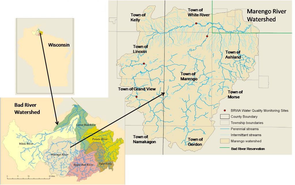
Note: Each 'Name' used here is not meant as actual name, but merely as description of that which can be observed from online aerial and topo maps. As such, it is all tentative and speculative, and should not be relied upon as an accurate reflection of what the river/rapids/difficulty may actually be. If you have first-hand knowledge of this section, please help out your fellow boaters by providing more information, either via the "Add a comment" button (which should appear below for all registered, logged-in users), via a filing a 'report' (if possible with photo(s)/video(s) of parts of this run), or via contacting the StreamTeam Editor.
Generally light rapids are encountered from the put-in until a slightly more prominent ledge/wave.
Location
Other Rapids on This Run (18)
 Rapid
N/A
Rapid
N/A
 Rapid
N/A
Rapid
N/A
Rapid
N/A
Rapid
N/A
Rapid
N/A
Rapid
N/A
 Rapid
N/A
Rapid
N/A
 Rapid
N/A
Rapid
N/A
Rapid
N/A
Rapid
N/A
 Rapid
N/A
Rapid
N/A
Rapid
N/A
Rapid
N/A
 Rapid
N/A
Rapid
N/A
 Rapid
N/A
Rapid
N/A
 Rapid
N/A
Rapid
N/A
 Rapid
N/A
Rapid
N/A
 Rapid
N/A
Rapid
N/A
 Rapid
N/A
Rapid
N/A
 Rapid
N/A
Rapid
N/A
 Rapid
N/A
Rapid
N/A
Current Conditions
5-Day Forecast
American Whitewater