Rapid
WI
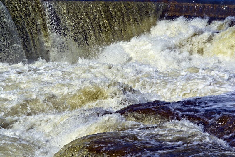
Ledge/wave
Save this feature with the run it belongs to.
Gauge Conditions
Runnable: 300.0 – 1,500.0 CFS
Likely a bit low (or way low) for good whitewater.
Data from American Whitewater & USGS
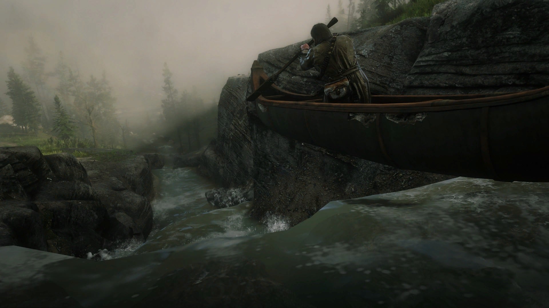
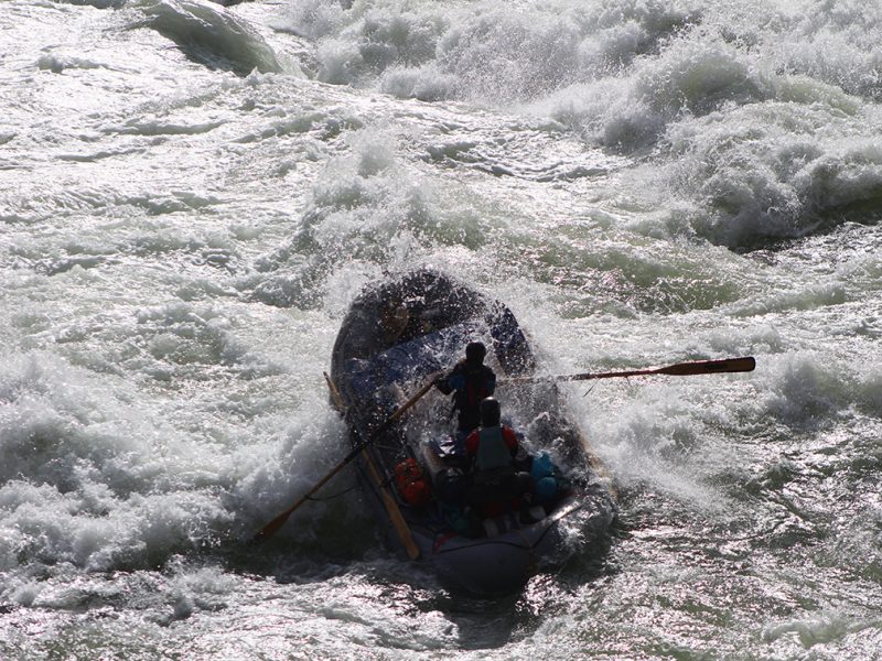
Photo
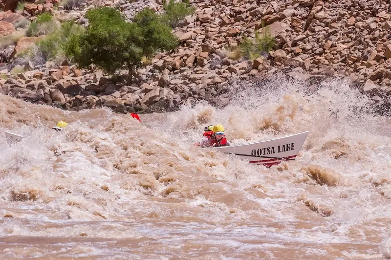
Photo courtesy of American Whitewater
Description
At a spot with steep rockwall to the left, as the river sweeps in a round-house right, with gravelly shoals to the inside (right) shore, it appears to trip across a ledge/wave which could (at some flows) offer fine play.
Just downstream on the left, as the shoreline flattens, there appears to be a double-track very near shore. However, this appears to be on an inholding (private property, rather than being within the public lands of the Copper Falls State Natural Area), so permission from that property owner would likely need be secured to use this point of exit.
Additional light boulderbed rapids continue intermittently downstream.
Location
Other Rapids on This Run (18)
 Rapid
N/A
Rapid
N/A
Put In
 Rapid
N/A
Rapid
N/A
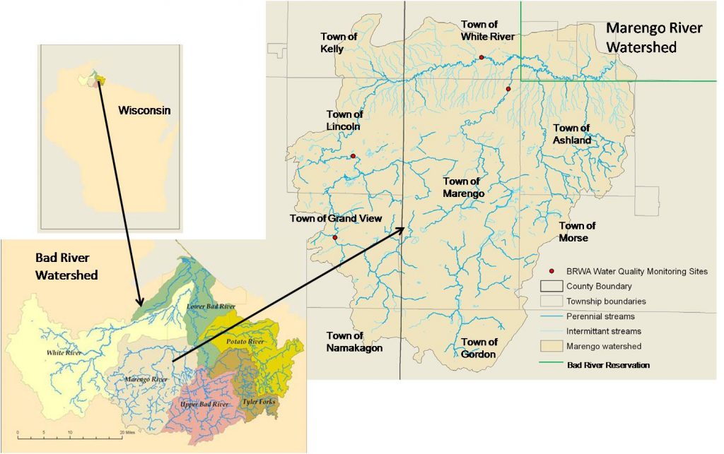
Drainage: 213 sq.mi.
Rapid
N/A
Ledge/wave
Rapid
N/A
Ledge/wave
Rapid
N/A
Ledge/wave
 Rapid
N/A
Rapid
N/A
High Wall
 Rapid
N/A
Rapid
N/A
Slim Islands
Rapid
N/A
High Wall
 Rapid
N/A
Rapid
N/A
Possble 'best' egress
 Rapid
N/A
Rapid
N/A
Last evident possible egress
Hazard
N/A
Indian Reservation Boundary
 Rapid
N/A
Rapid
N/A
Boulderbed Resumes
 Rapid
N/A
Rapid
N/A
Longer Boulderbed Rapids
 Rapid
N/A
Rapid
N/A
Possible ledge/wave/hole
 Rapid
N/A
Rapid
N/A
Confluence, Marengo River
 Rapid
N/A
Rapid
N/A
Confluence, Potato River
 Rapid
N/A
Rapid
N/A
Railroad
 Rapid
N/A
Rapid
N/A
Elm Hoist Road: 597 sq.mi.
View Full Run
C) Devil's Gate to Elm Hoist Rd (4.3 to 19.5 miles) ** ACCESS ISSUES **
Bad
I-III
4.1 mi
Current Conditions
5-Day Forecast
Whitewater data from
American Whitewater
American Whitewater