Rapid
WI
Elm Hoist Road: 597 sq.mi.
Save this feature with the run it belongs to.
Gauge Conditions
Runnable: 300.0 – 1,500.0 CFS
Likely a bit low (or way low) for good whitewater.
Data from American Whitewater & USGS
Photo

Photo courtesy of American Whitewater
Description
This is the take-out listed in many (old) river guide books. Paddling to here involves MUCH flatwater, and involves paddling within the Bad River Reservation. To the best of our knowledge, this would require attempting/obtaining permission from the Bad River Band Of Lake Superior Tribe of Chippewa Indians.
Location
Other Rapids on This Run (18)
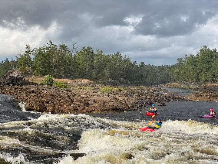 Rapid
N/A
Rapid
N/A
Put In
 Rapid
N/A
Rapid
N/A
Drainage: 213 sq.mi.
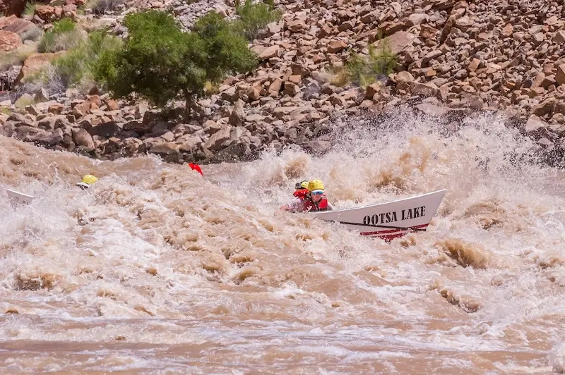 Rapid
N/A
Rapid
N/A
Ledge/wave
Rapid
N/A
Ledge/wave
Rapid
N/A
Ledge/wave
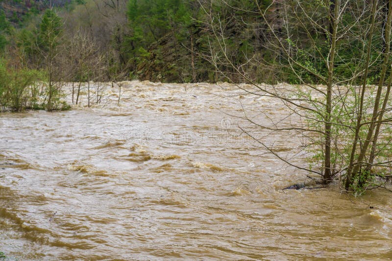 Rapid
N/A
Rapid
N/A
High Wall
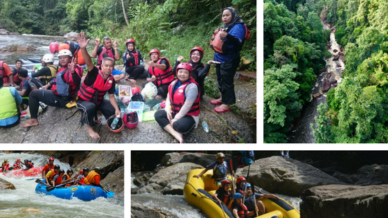 Rapid
N/A
Rapid
N/A
Slim Islands
Rapid
N/A
High Wall
 Rapid
N/A
Rapid
N/A
Possble 'best' egress
Rapid
N/A
Ledge/wave
 Rapid
N/A
Rapid
N/A
Last evident possible egress
Hazard
N/A
Indian Reservation Boundary
 Rapid
N/A
Rapid
N/A
Boulderbed Resumes
 Rapid
N/A
Rapid
N/A
Longer Boulderbed Rapids
 Rapid
N/A
Rapid
N/A
Possible ledge/wave/hole
 Rapid
N/A
Rapid
N/A
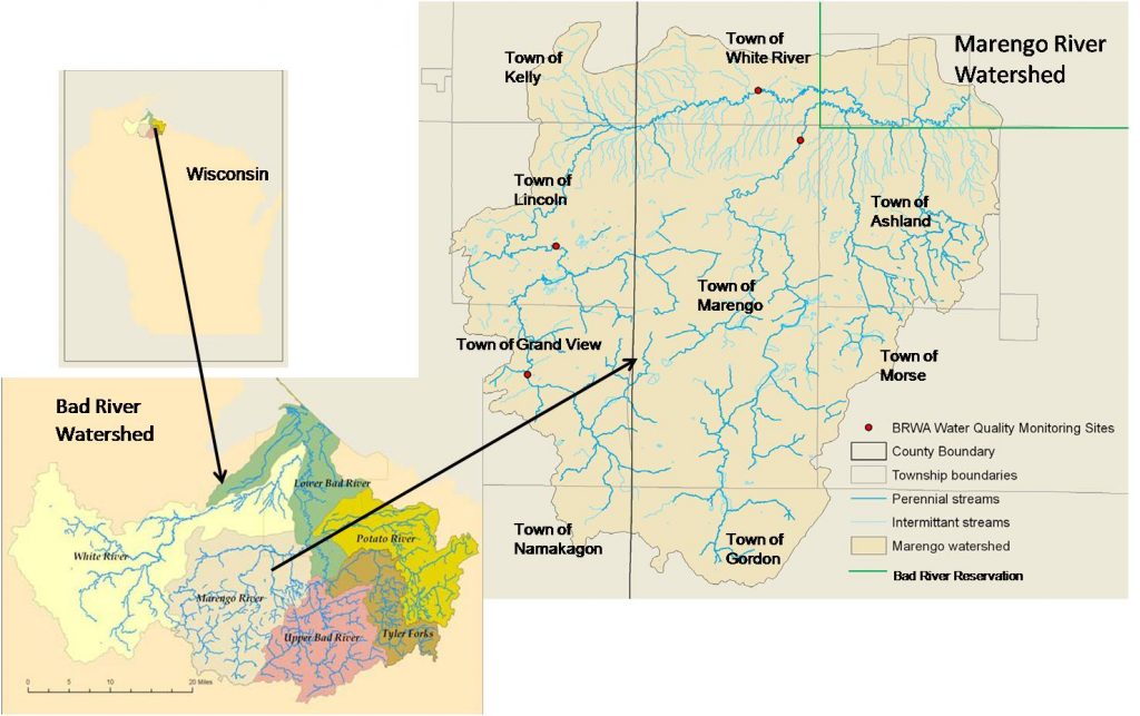
Confluence, Marengo River
 Rapid
N/A
Rapid
N/A
Confluence, Potato River
 Rapid
N/A
Rapid
N/A
Railroad
View Full Run
C) Devil's Gate to Elm Hoist Rd (4.3 to 19.5 miles) ** ACCESS ISSUES **
Bad
I-III
4.1 mi
Current Conditions
5-Day Forecast
Whitewater data from
American Whitewater
American Whitewater