logging road to Presque Isle (2.6 + 4.75 miles)
Gauge Conditions
Runnable: ? – ? CFS
Approximate reading: This gauge is 4.7 miles away on Copper Creek. Use as a general reference only.
Data from American Whitewater & USGS
Run Map
Description
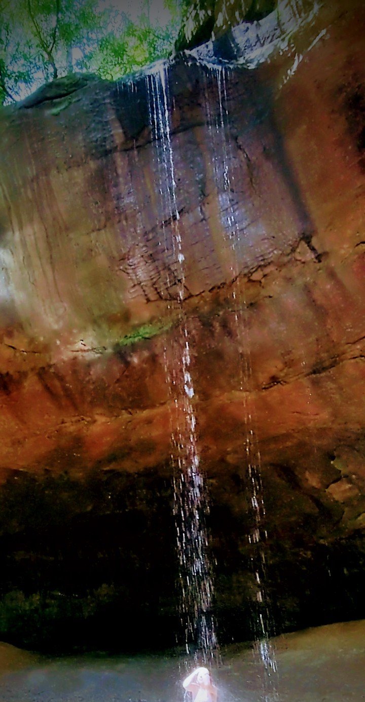
Though this small creek was first run many years back, it does not see many paddlers due to the 'remote' put-in by way of an unmarked logging road (off Cty 519) five miles south of S.Boundary Road. Depending on seasonal conditions, it is a drive or walk (just under a mile) east on this road to the creek. (The 'featured photo' above-right attempts to show the options for access to the put-in. You'll obviously want/need to click the photo enlarge it enough to see the detail.)
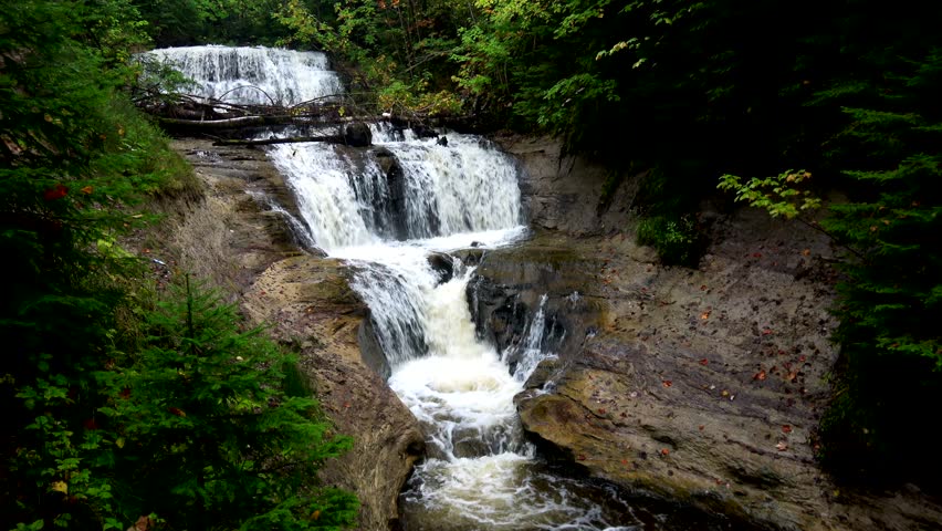
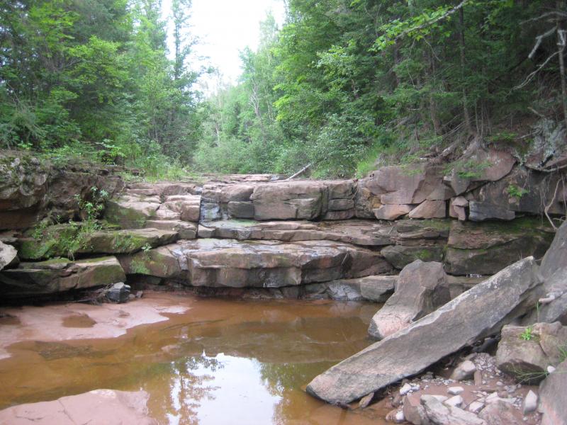
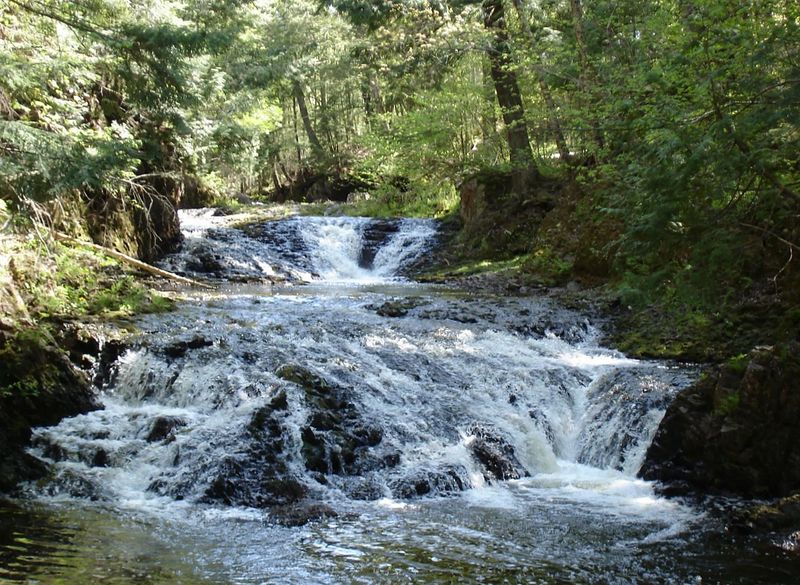
Following a bend to the left, one encounters the first of the three named falls that drew paddlers here in the first place: _Ogima Falls, Ogimakwe Falls, and Abinodji Falls_. All three are varied pitch bedrock slides that rate from class III to IV at most flows. These are followed by a little over a mile of continuous class II-II+ water consisting of boulder bed interspersed with small ledges which runs down to the confluence with the Presque Isle.
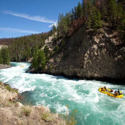
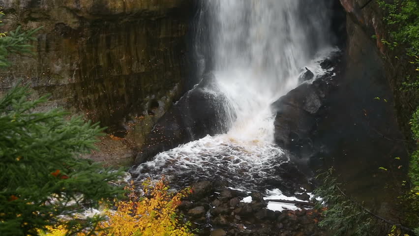
Copper Creek runs into the Presque Isle below the canyon, where you will run part of the fast, wavy 'Conglomerate Staircase' section and the four ledge sequence around Lepisto Falls. When Copper Creek is running, it will likely be at a high flow for the Presque but, with appropriate caution, this can be great fun. An intimate creek run for openers, followed by a big water play run, offers the best of both worlds. Now if it would only happen more often when it's warm! Take-out is at South Boundary Road bridge in Porcupine Mountains State Park.
The following video shows (at least part of) the trek into this creek, the run, and the part of the Presque Isle you'll run after the confluence (clickable link): _https://www.youtube.com/watch?v=WsFypNYKbjk&t=51s_
Rapids in this Run (4)
Waterfalls (3)
Playspots (1)
Difficulty
Class II-IV
Length
7.6 mi
Gradient
66 ft/mi
max 98
Rapids
4
Access Points
Shuttle Info
The 'shuttle map' is incomplete since you will likely be hiking in a mile (either logging road or bushwacking to the creek).
You can use the map to enter your home address or other starting location to get a map to the area of this run.
Difficulty Classes
I Easy
II Novice
III Intermediate
IV Advanced
V Expert/Extreme
VI Unrunnable
Current Conditions
5-Day Forecast
Whitewater data from
American Whitewater
American Whitewater