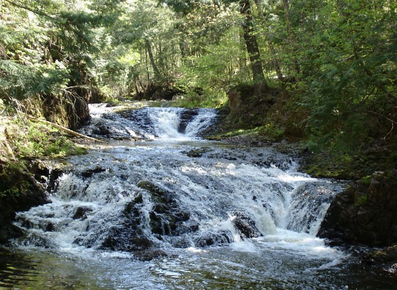
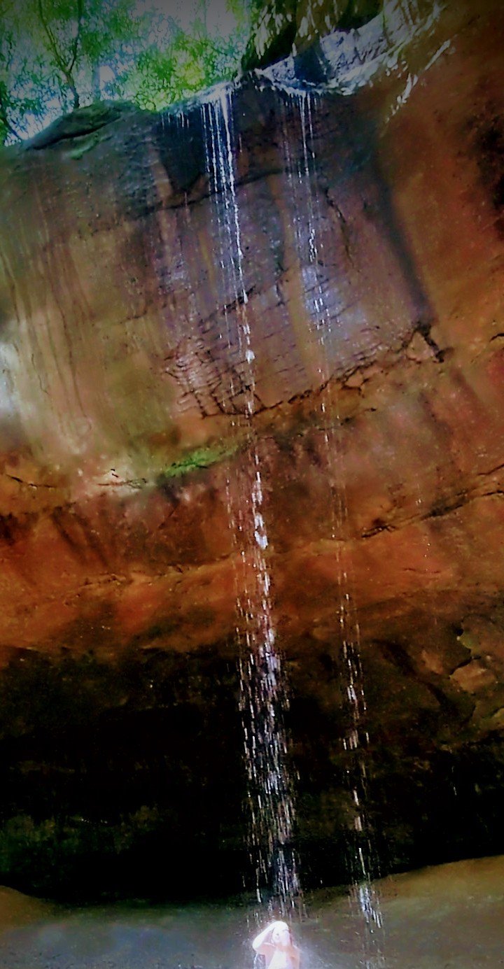
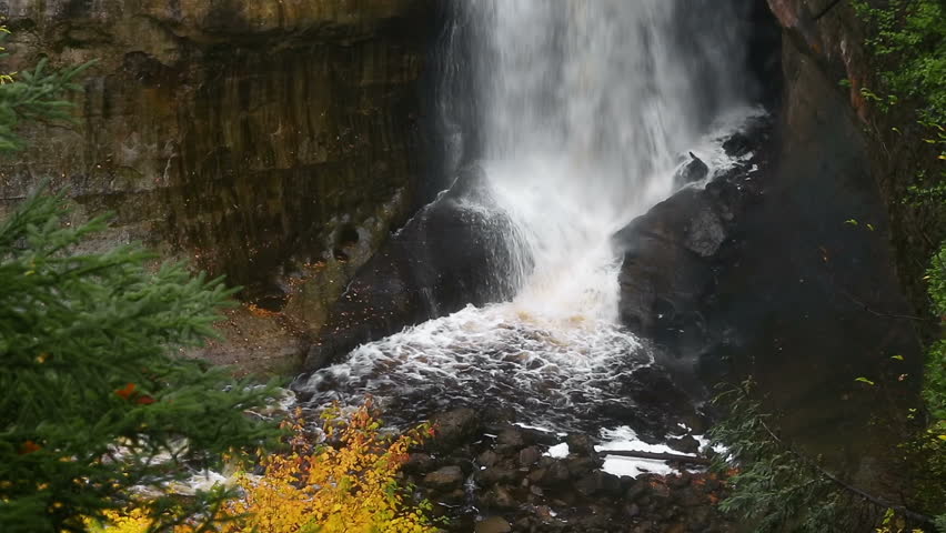
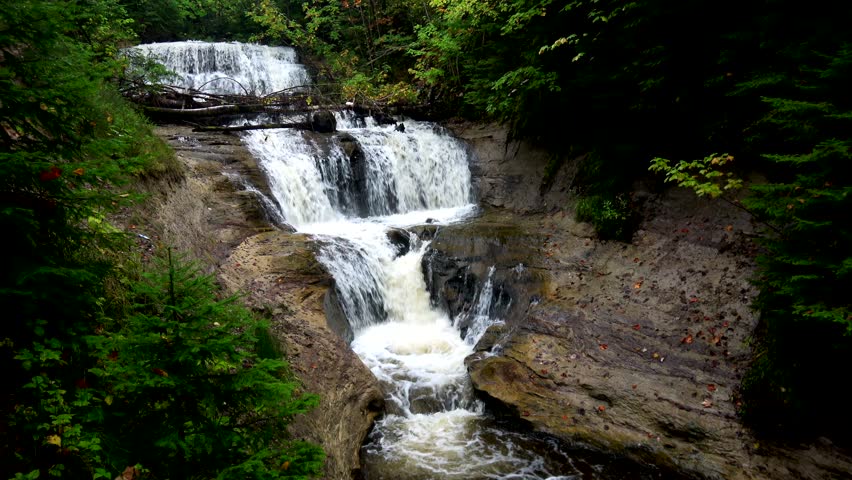
Waterfall
MI
Ogima Falls
Save this feature with the run it belongs to.
Gauge Conditions
Runnable: ? – ? CFS
Approximate - nearest available gauge. Use as general reference only.
Data from American Whitewater & USGS
Photo
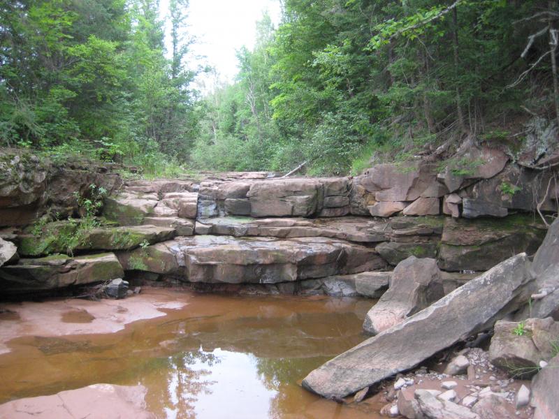
Photo courtesy of American Whitewater
Description
Note: all falls locations (and distances) listed here are very approximate. On a creek this small, trees often obscure aerial views, and images were taken when there was little flow, so identifiying features is neraly impossible. Locations as marked on various online maps, and coordinates given by various other sources often map far from the river, much less from the actual rapids or falls. (This may be actual error in coordinates, or error in the 'registration' (alignment) of data layers in online maps.
Location

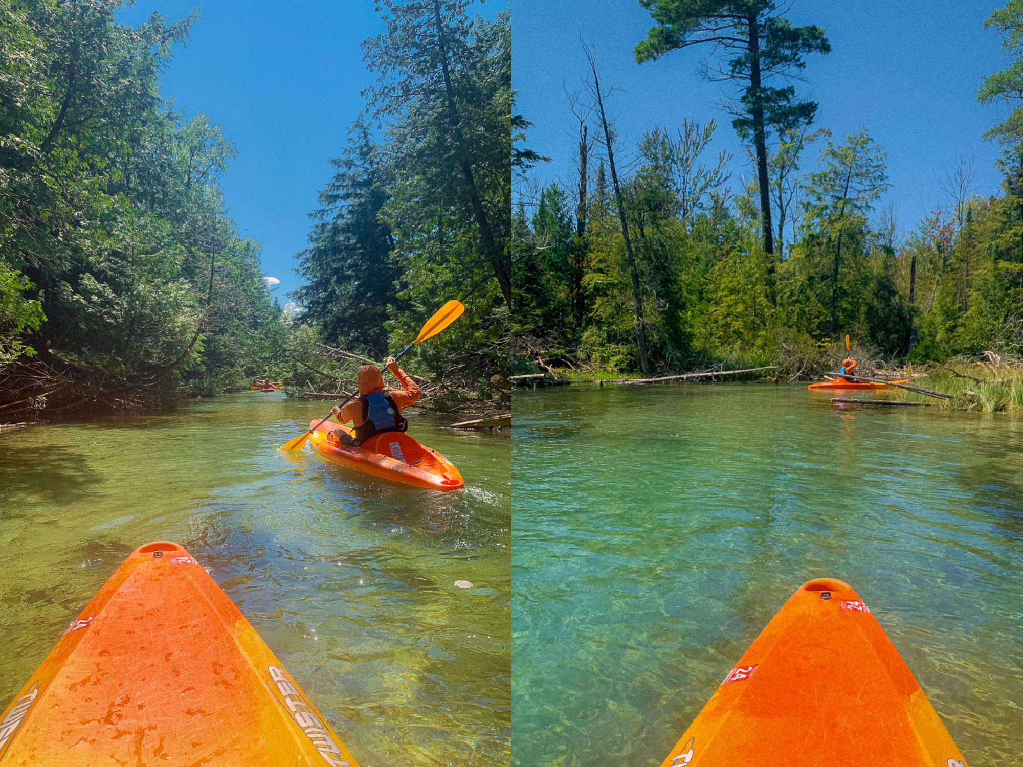

View Full Run
logging road to Presque Isle (2.6 + 4.75 miles)
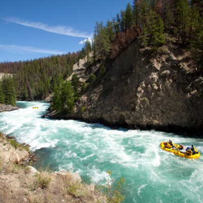
Copper Creek
II-IV
7.6 mi
Current Conditions
5-Day Forecast
Whitewater data from
American Whitewater
American Whitewater