Rapid
MI
Confluence, Presque Isle
Save this feature with the run it belongs to.
Gauge Conditions
Runnable: ? – ? CFS
Approximate - nearest available gauge. Use as general reference only.
Data from American Whitewater & USGS
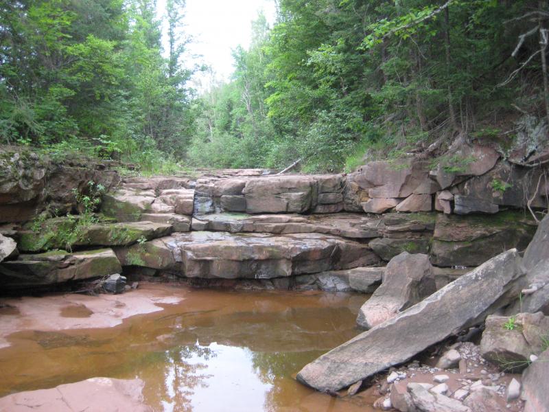
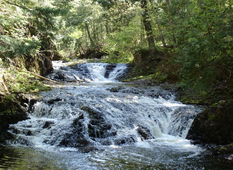
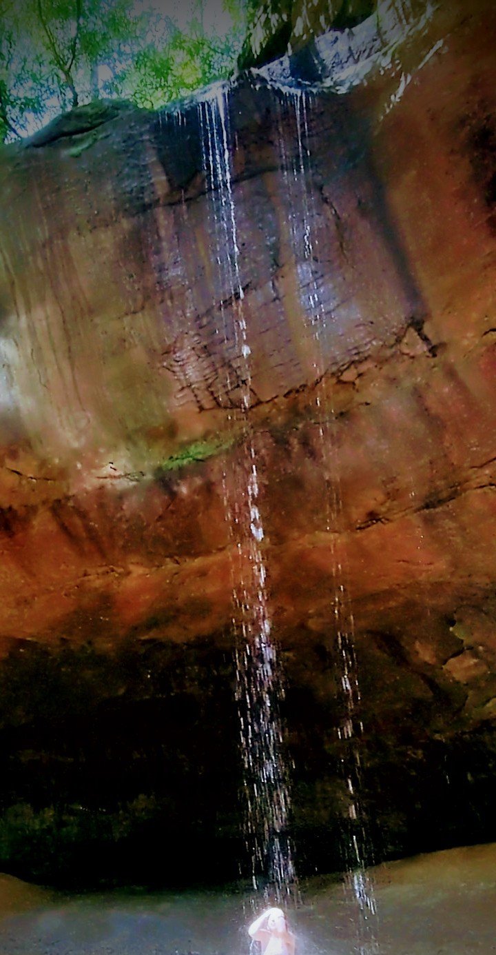
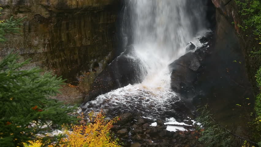
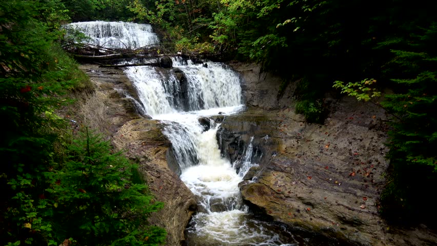
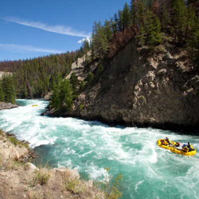
Photo
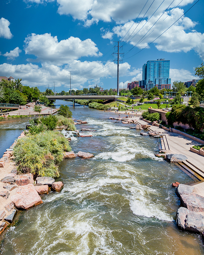
Photo courtesy of American Whitewater
Description
A fine set of ledges lead to the confluence. At this point, your run changes dramatically, from intimate creek to BIG WATER run on the conglomerate staircase. This should all be 'read and run' except for the two named falls, Lepisto and Iagoo, which could be monstrous. (Scouting strongly advised.)
Location


View Full Run
logging road to Presque Isle (2.6 + 4.75 miles)
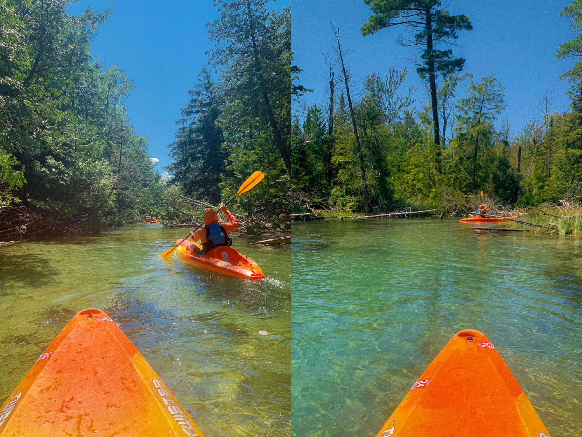
Copper Creek
II-IV
7.6 mi
Current Conditions
5-Day Forecast
Whitewater data from
American Whitewater
American Whitewater