Rapid
MI
S.Boundry Road
Save this feature with the run it belongs to.
Gauge Conditions
Runnable: ? – ? CFS
Approximate - nearest available gauge. Use as general reference only.
Data from American Whitewater & USGS
Photo
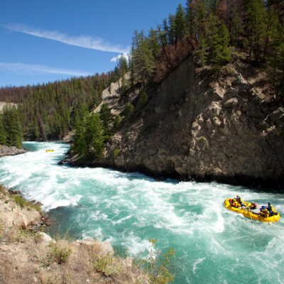
Photo courtesy of American Whitewater
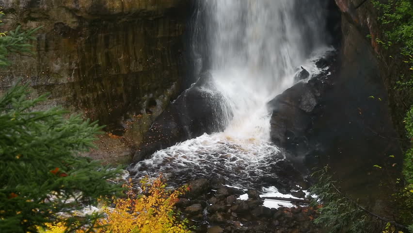
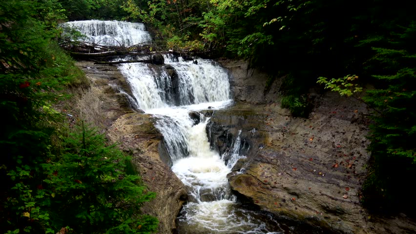
Description
Take out here, or continue down the 'Bottom Presque'. (However, if there was enough water for Copper Creek, Bottom Presque is probably insane!)
Location


View Full Run
logging road to Presque Isle (2.6 + 4.75 miles)
Copper Creek
II-IV
7.6 mi
Current Conditions
5-Day Forecast
Whitewater data from
American Whitewater
American Whitewater