Rapid
MI
Drainage area ~18.5 square miles.
Save this feature with the run it belongs to.
Gauge Conditions
Runnable: ? – ? CFS
Approximate - nearest available gauge. Use as general reference only.
Data from American Whitewater & USGS
Photo
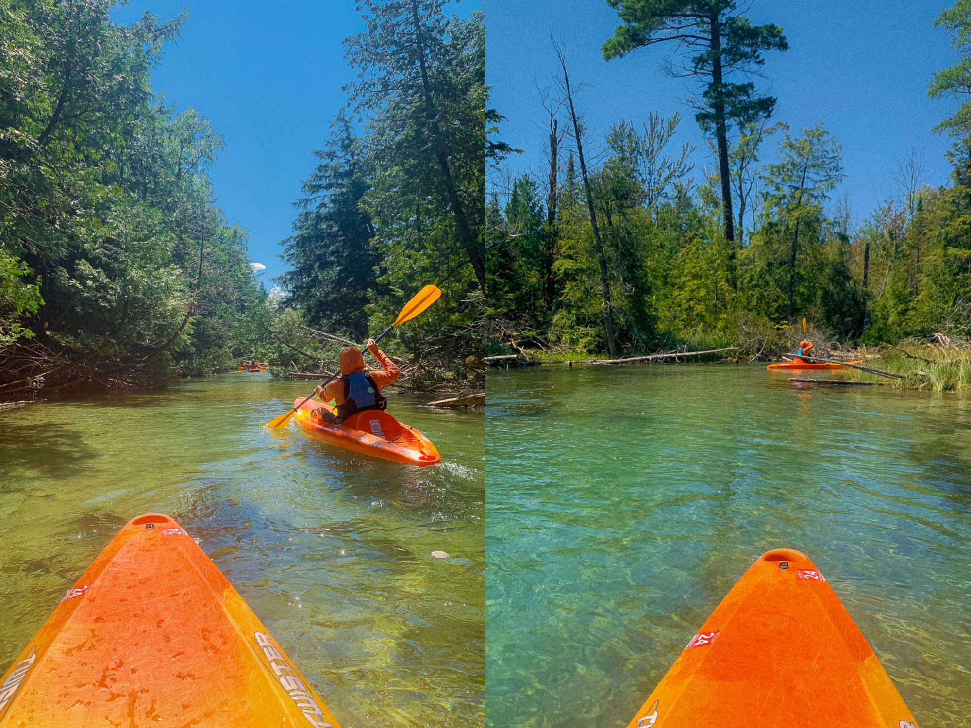
Photo courtesy of American Whitewater
Description
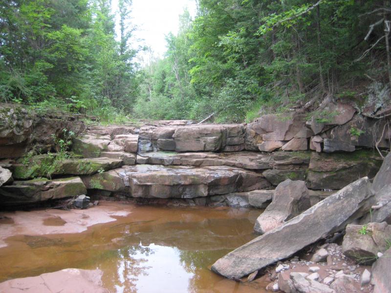
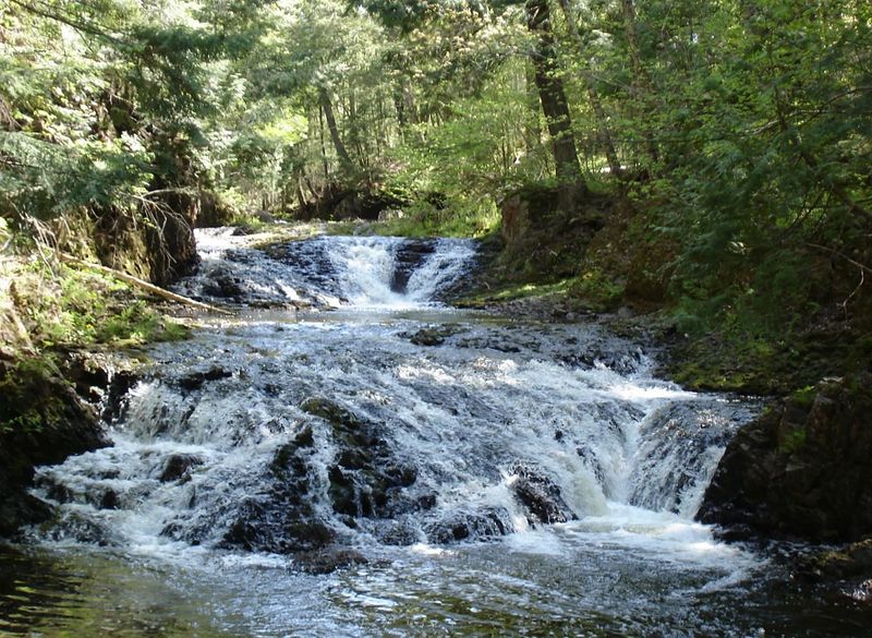
Copper Creek's unnamed rapid flows through a tight, boulder-strewn channel with minimal beta available, likely presenting technical maneuvering challenges in its 2.6-mile logging road to Presque Isle section. Local paddlers should anticipate potential blind drops and route-finding difficulties given the limited documented information about this waterway's specific characteristics.
Location


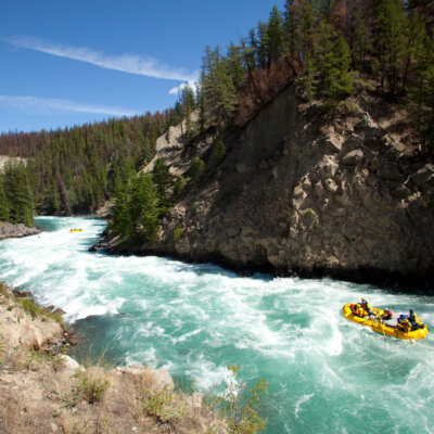
View Full Run
logging road to Presque Isle (2.6 + 4.75 miles)
Copper Creek
II-IV
7.6 mi
Current Conditions
5-Day Forecast
Whitewater data from
American Whitewater
American Whitewater