Auquaduct Parking
Save this feature with the run it belongs to.
Gauge Conditions
Approximate - nearest available gauge. Use as general reference only.
CDEC Flow Data California
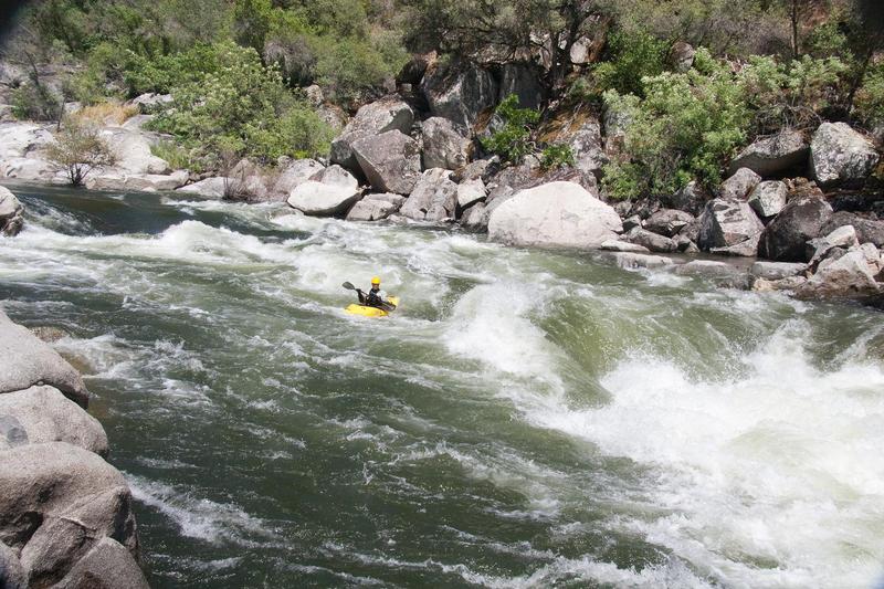
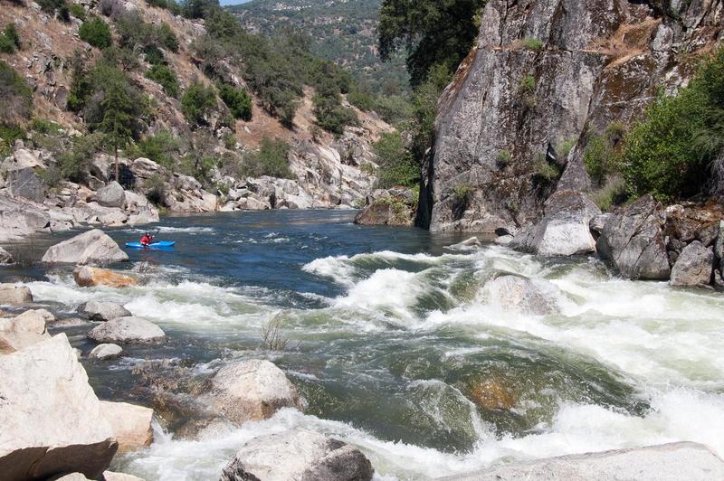
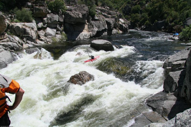
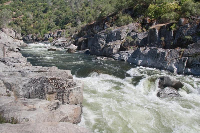
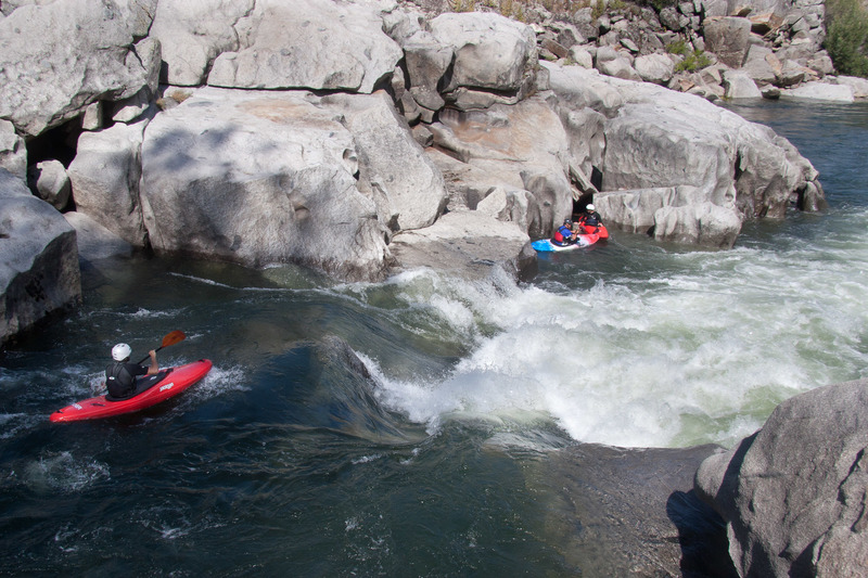
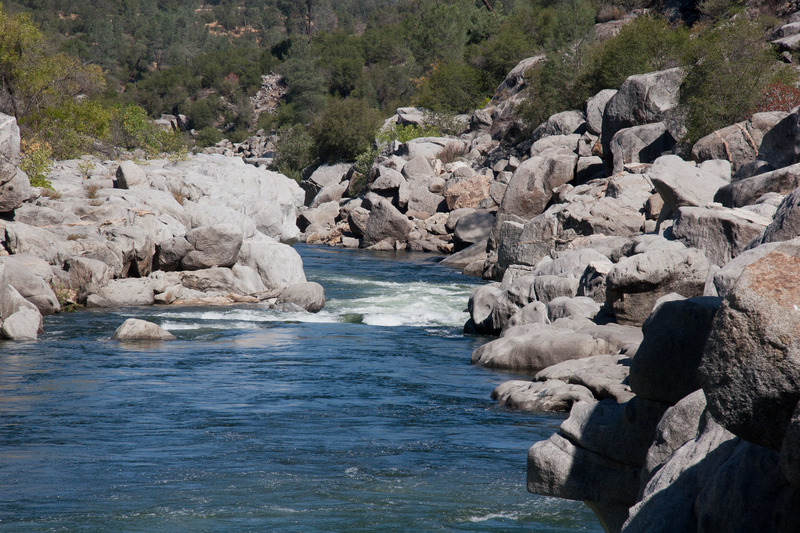
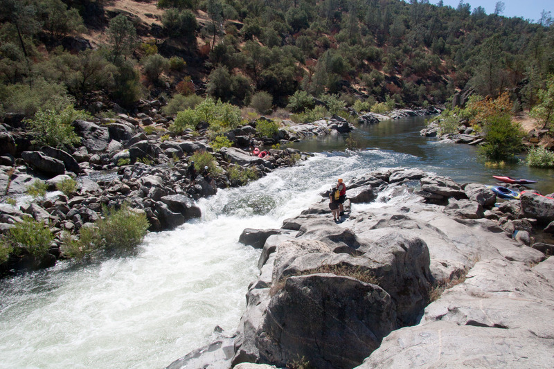
Photo
Description
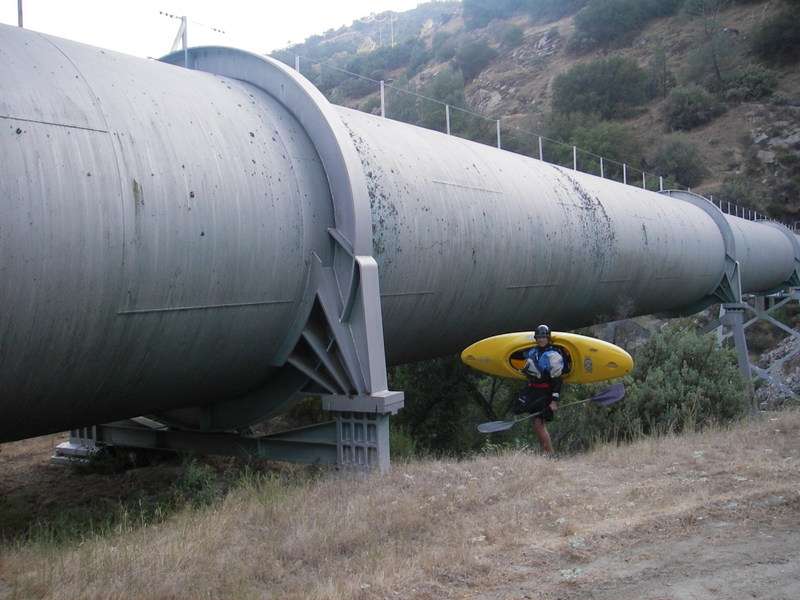
A loop road on the east side of Willow Creek leads to a fairly large unloading area by the auquaduct pipe. A trail leads underneath the pipe and out to the main river. This trail is narrow and awkward for groups carrying rafts and has been replaced by the official parking area above.
The newer parking area and raft put in has been constructed uphill to the east of Willow Creek. Stay on the paved road across the creek heading east. The road turns south and climbs uphill. Shortly after passing above the penstock pipe, the road turns east again. A dirt road cuts back to the west and drops to a large level area. Park here. A trail leads steeply down to the river.
Location
Other Rapids on This Run (20)
 Rapid
N/A
Rapid
N/A
 Rapid
IV
Rapid
IV
 Rapid
III
Rapid
III
 Rapid
III+
Rapid
III+
 Rapid
IV
Rapid
IV
 Rapid
IV
Rapid
IV
 Rapid
V
Rapid
V
 Rapid
III+
Rapid
III+
 Rapid
III
Rapid
III
 Hazard
III+
Hazard
III+
Current Conditions
5-Day Forecast
American Whitewater