Put-in
CA
Gauge Trail Put-in
Save this feature with the run it belongs to.
Gauge Conditions
Runnable: ? – ? CFS
Approximate - nearest available gauge. Use as general reference only.
Data from American Whitewater & USGS
CDEC Flow Data California
Data from California Data Exchange Center (CDEC)
Description
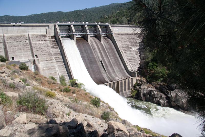
This is the best put in option for paddling through the Redinger Gorge. Look for the gated road leading down towards the base of the dam. A sign on the gate says, "Dam #7" The trail starts just outside the gate and leads straight down the hill. The trail is not in great condition but it is discernable. There are some stairs and ladders near the bottom.
Location
Interactive river map
Loads as you approach this section.
Other Rapids on This Run (20)
 Rapid
N/A
Rapid
N/A
Redinger Dam
Rapid
V
Redinger Gorge
Rapid
N/A
Official Put in and Parking
 Rapid
N/A
Rapid
N/A
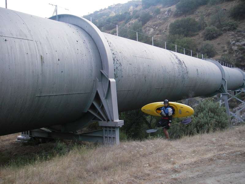
Auquaduct Parking
Rapid
N/A
Mouth of Willow Creek
Rapid
N/A
Staff Gage
 Rapid
IV
Rapid
IV
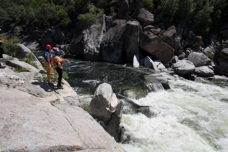
Study rapid
 Rapid
III
Rapid
III
Scenic Corridor
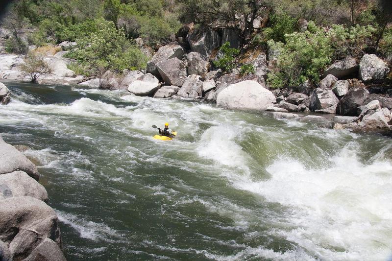 Rapid
III+
Rapid
III+
Two Holes Hiding
Rapid
III
Rapid
Rapid
IV
Long and Shallow
Rapid
N/A
Backbone Creek
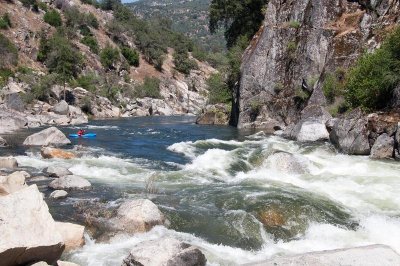 Rapid
IV
Rapid
IV
Four Holes
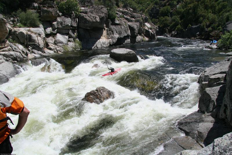 Rapid
IV
Rapid
IV
Little Dog
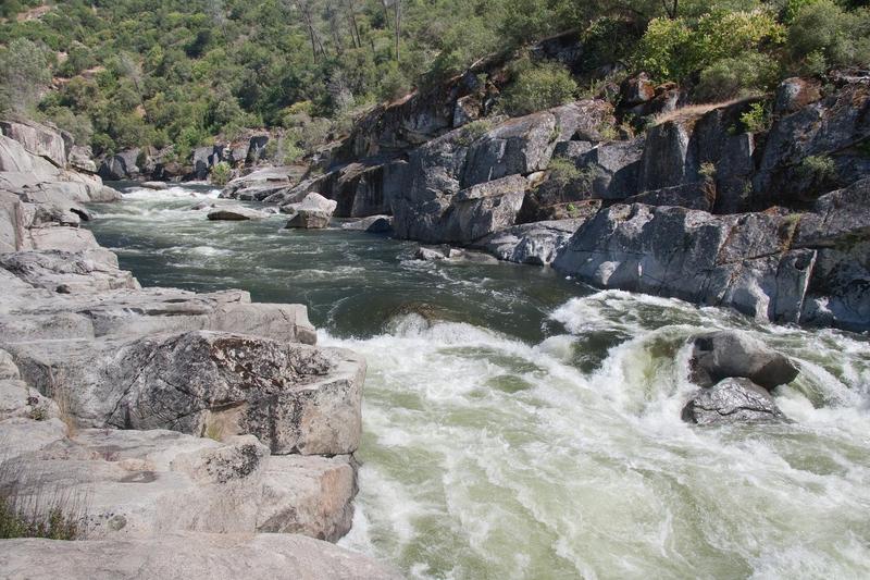 Rapid
V
Rapid
V
Big Dog
Rapid
III+
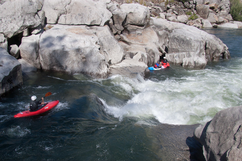
Wa Hoo!
 Rapid
III+
Rapid
III+
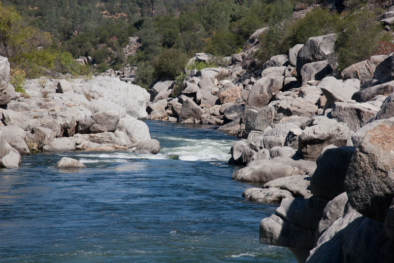
Constriction
 Rapid
III
Rapid
III
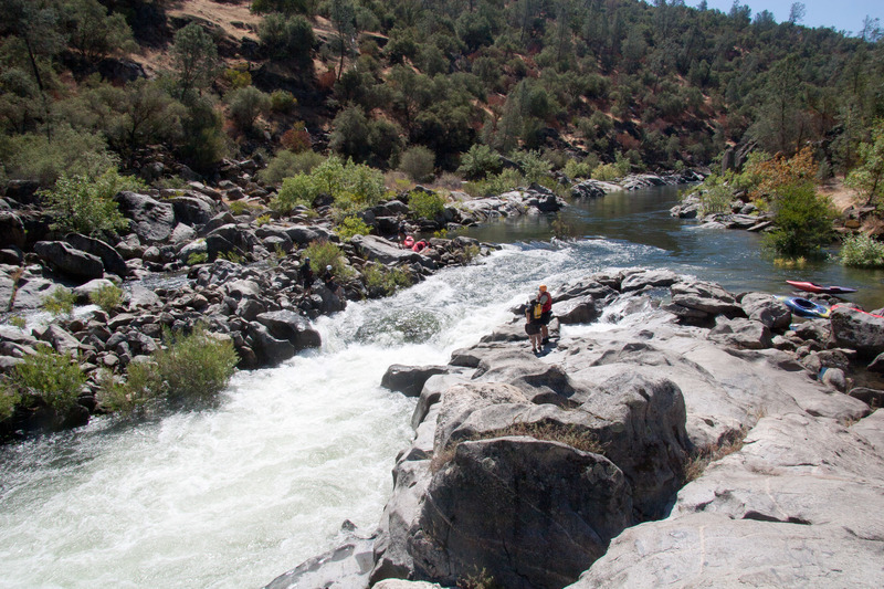
Soul Surfer
 Hazard
III+
Hazard
III+
Powerhouse Hole
Rapid
II
Big Creek #4 Powerhouse
View Full Run
3. Horseshoe Bend (Redinger Dam to Kerckhoff Reservoir)
San Joaquin
III-IV(V)
7.0 mi
Current Conditions
5-Day Forecast
Whitewater data from
American Whitewater
American Whitewater