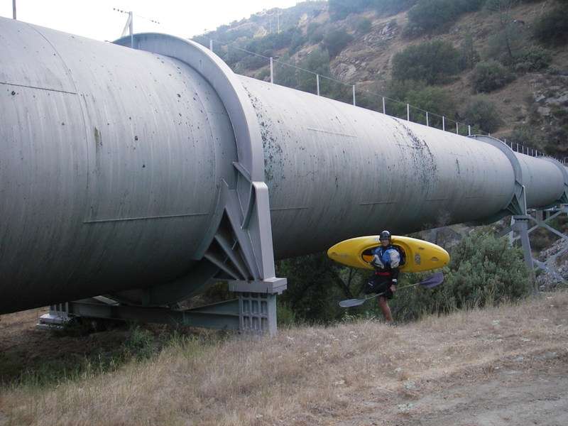
Official Put in and Parking
Save this feature with the run it belongs to.
Gauge Conditions
Approximate - nearest available gauge. Use as general reference only.
CDEC Flow Data California
Description
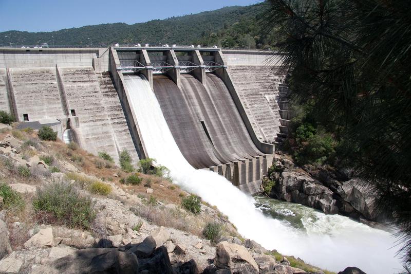
As you drive down the road towards the start of the run you will get a good view of the dam. You can see the official parking area at the same time. It is next to and sllightly above where the big aquaduct pipe emerges frrom the hillside. Drive down across Willow Creek, then back up towards the dam. When the paved road levels out, the side road to the parking area cuts sharply back. It is a sharp tight turn when going towards the dam, but an easy turn coming from the dam, so just pass it and use a turn out to turn around. The parking area is big, but has no shade.
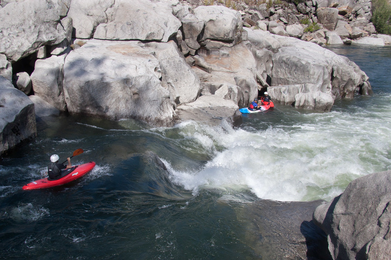
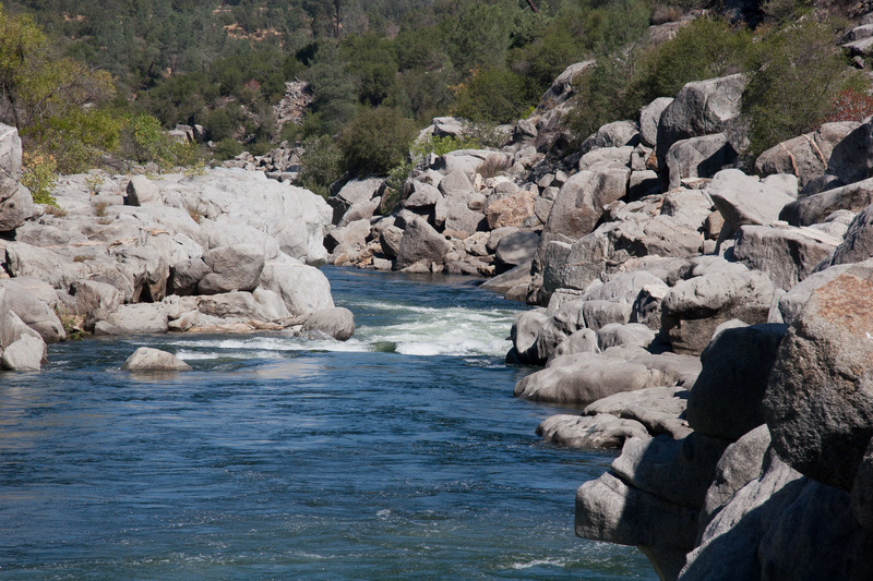
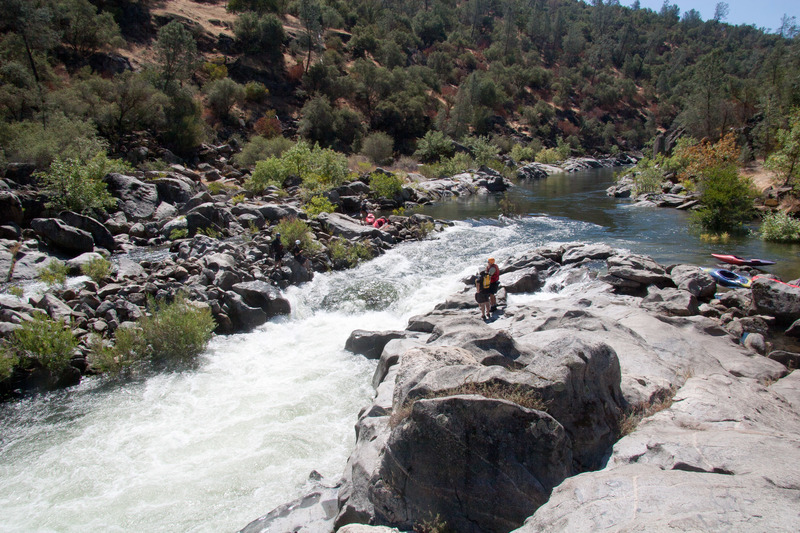
A wide trail leads from the parking area to the river. It is a little ways to carry boats, but all downhill. At the river, there is only space for a few rafts at a time.
Location
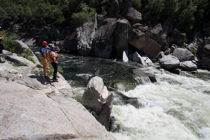
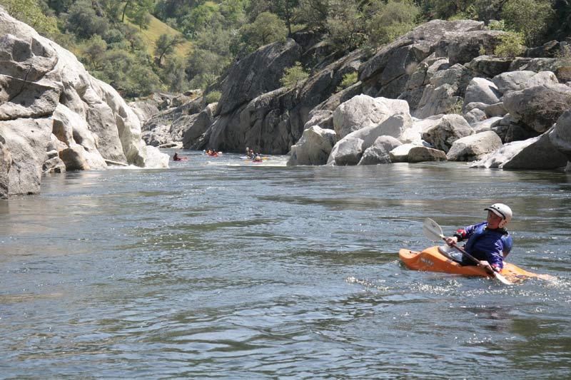
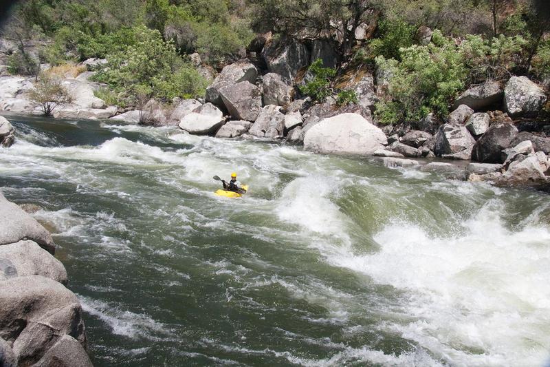
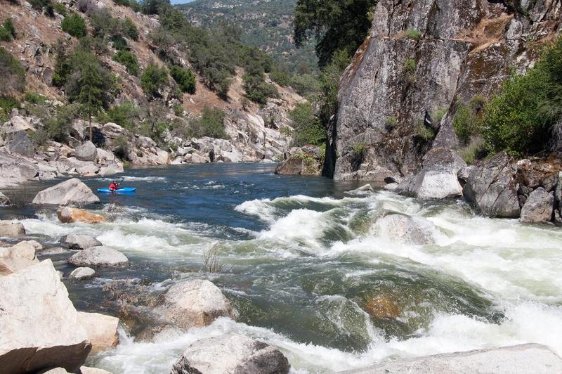
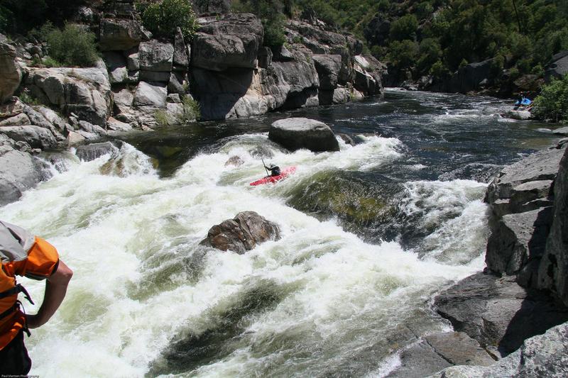
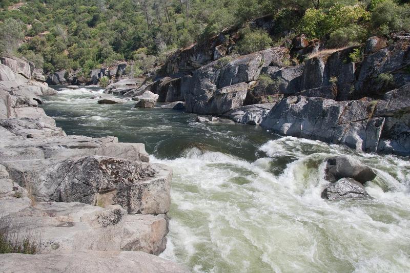
Other Rapids on This Run (20)
 Rapid
N/A
Rapid
N/A
 Rapid
N/A
Rapid
N/A
 Rapid
IV
Rapid
IV
 Rapid
III
Rapid
III
 Rapid
III+
Rapid
III+
 Rapid
IV
Rapid
IV
 Rapid
IV
Rapid
IV
 Rapid
V
Rapid
V
 Rapid
III+
Rapid
III+
 Rapid
III
Rapid
III
 Hazard
III+
Hazard
III+
Current Conditions
5-Day Forecast
American Whitewater