Rapid
WI
Bonus Rips
Save this feature with the run it belongs to.
Gauge Conditions
Runnable: ? – ? CFS
Approximate - nearest available gauge. Use as general reference only.
Data from American Whitewater & USGS
Photo
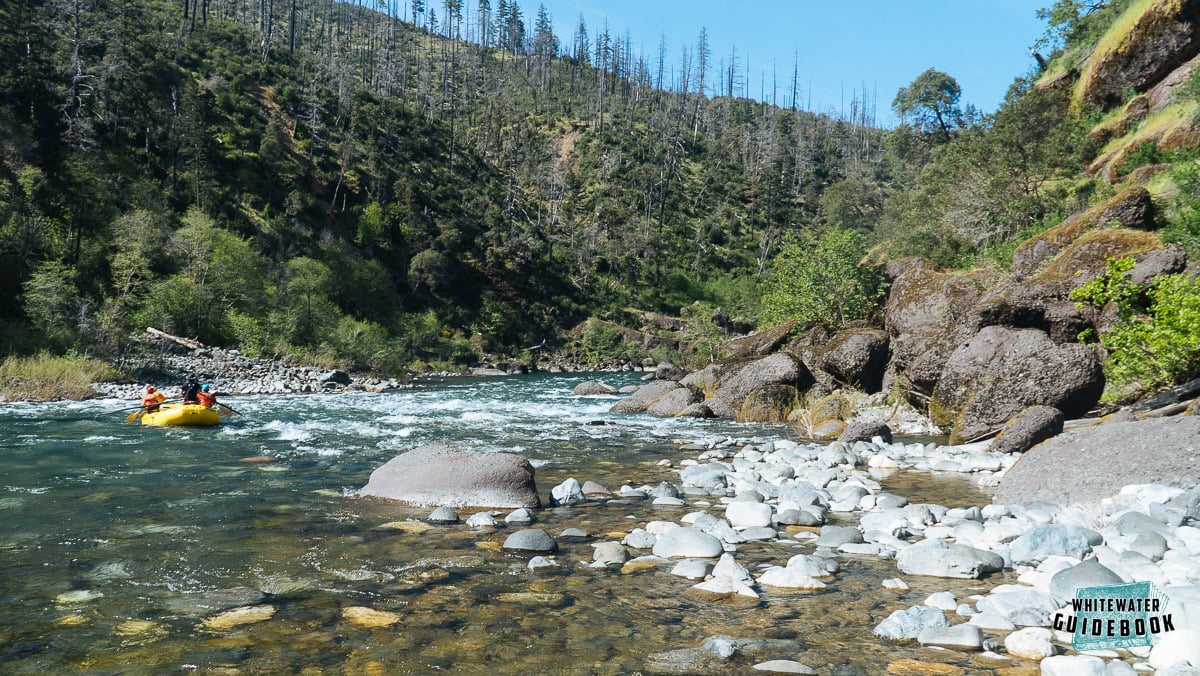
Photo courtesy of American Whitewater
Description
FWIW, ~5.2 miles east of here (as the crow flies ... not river miles nor road miles), Hwy.20 crosses Honey Creek (about 1.7 miles north of the unincorporated community of Honey Creek, on the county line between Walworth and Racine counties). Under that bridge (just west of a railroad crossing), there is another bit of swiftwater. An assortment of rocks again lines the shores, and slightly interrupt the stream. On both occasions that I stopped to have a look, there appeared nothing really worth the bother as a boater. (YMMV)
Location
Interactive river map
Loads as you approach this section.





View Full Run
East Troy Mill Pond Park (former dam site)
Honey Creek (Fox (IL) Trib)
I-II
0.7 mi
Current Conditions
5-Day Forecast
Whitewater data from
American Whitewater
American Whitewater