First Boulder Choke
Save this feature with the run it belongs to.
Gauge Conditions
Approximate - nearest available gauge. Use as general reference only.
Photo
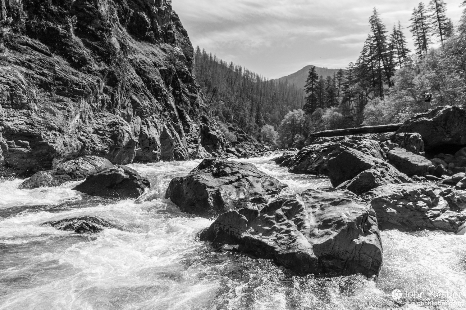
Description
NOTE: Descriptions of this and all following features are a mix of on-site inspection along with various aerial views from different online sources taken at different stages of the dam removal and subsequent remediation. As a result, some of this description is speculative and may not be totally accurate.
Current Google Maps aerial view shows the creek splitting around a rather sun-hat-shaped island. To the right (south) it shows little-to-nothing of any interest. To the left (north), it feeds into a ponded area, the outflow from which appears to drop across the first 'boulder choke'. (NOTE: other aerial views do not show this split and boulder choke.)
Location



Current Conditions
5-Day Forecast
American Whitewater