Rapid
WI
Second Boulder Choke
Save this feature with the run it belongs to.
Gauge Conditions
Runnable: ? – ? CFS
Approximate - nearest available gauge. Use as general reference only.
Data from American Whitewater & USGS
Photo

Photo courtesy of American Whitewater
Description
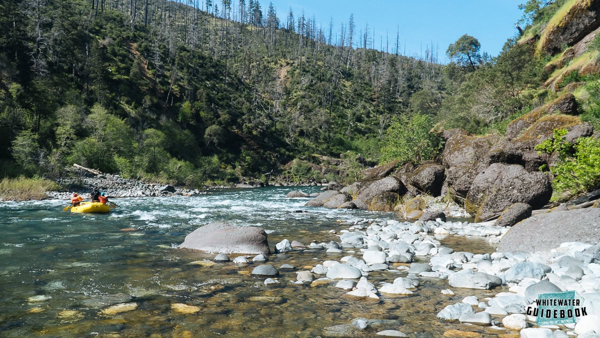
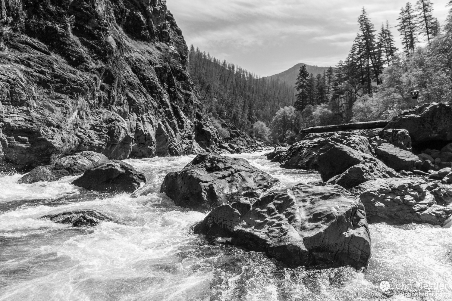
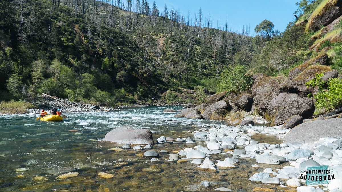
After a bit of ponding, as the stream narrows, another boulder choke is encountered.
Location
Interactive river map
Loads as you approach this section.




View Full Run
East Troy Mill Pond Park (former dam site)
Honey Creek (Fox (IL) Trib)
I-II
0.7 mi
Current Conditions
5-Day Forecast
Whitewater data from
American Whitewater
American Whitewater