Rapid
WI
Third Bouler Choke
Save this feature with the run it belongs to.
Gauge Conditions
Runnable: ? – ? CFS
Approximate - nearest available gauge. Use as general reference only.
Data from American Whitewater & USGS
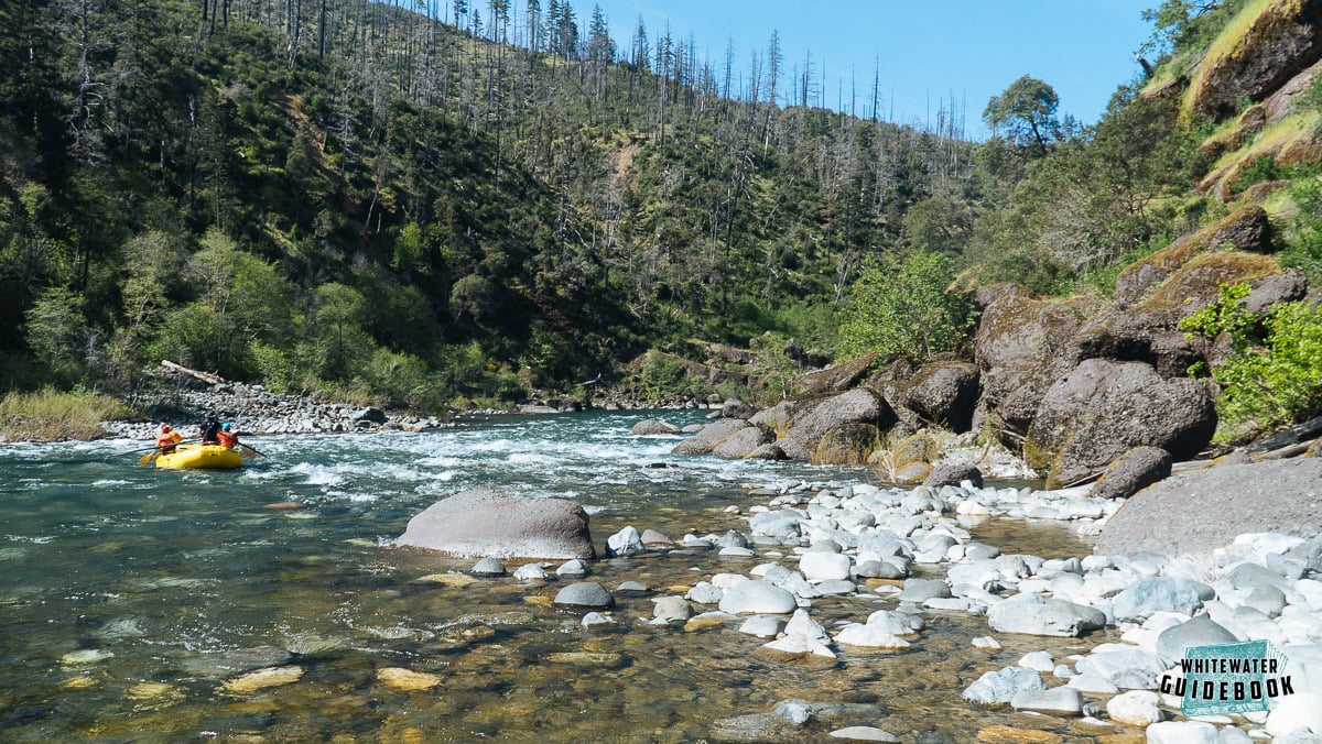
Photo
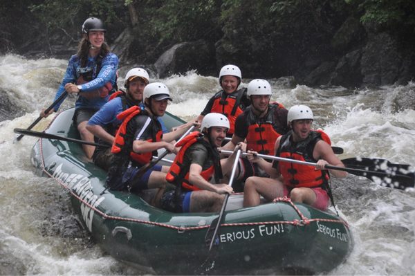
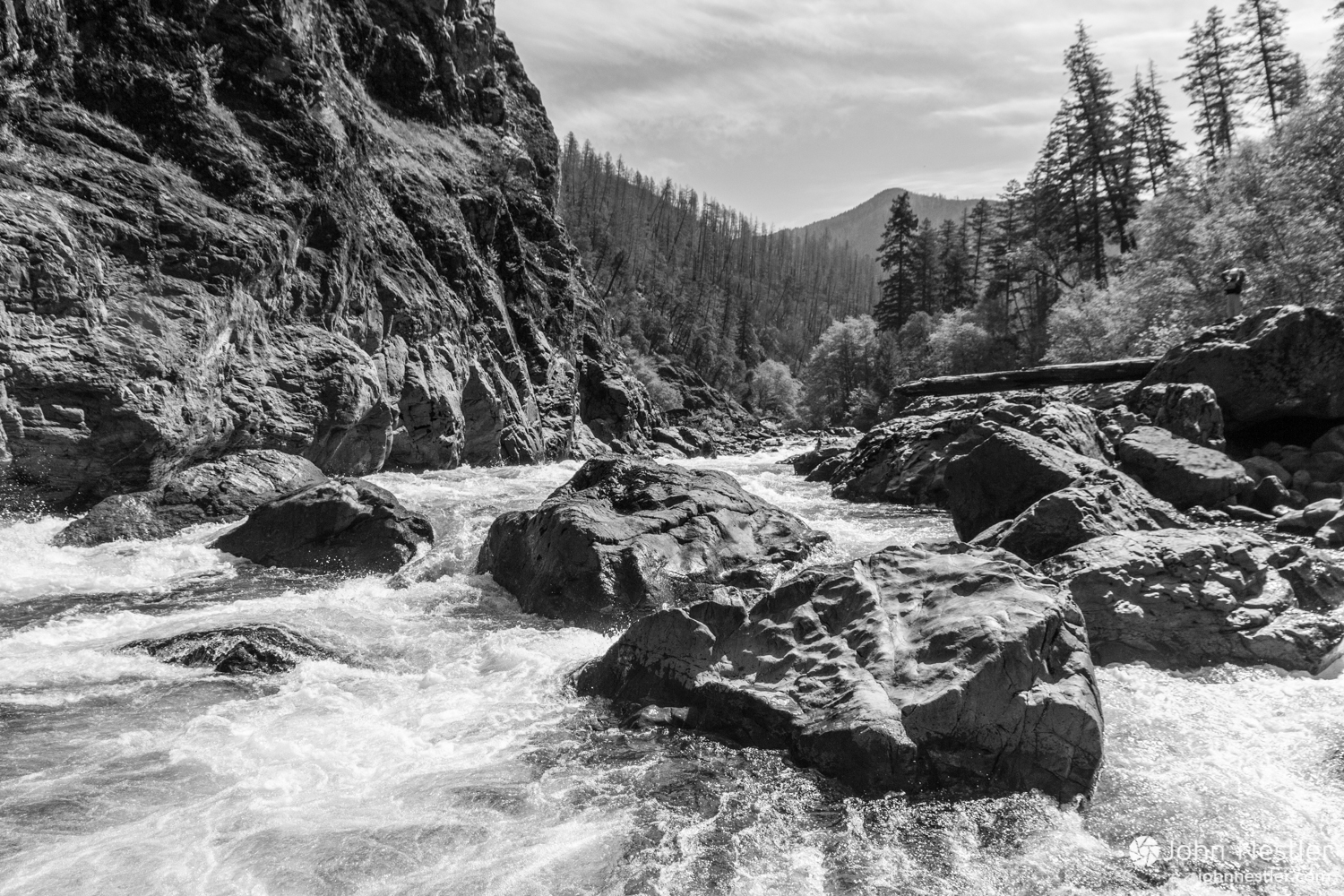
Photo courtesy of American Whitewater
Description
Just around a bend from the prior choke, a brief ponding leads to the final boulder choke.A few large boulders with separation between them funnel the water right into another rock in the outflow, making this particularly awkward to navigate in any watercraft. Unless water is unusually high, or you are exceptionally skilled or lucky, expect to piton or broach on one (or more) of the rocks here! (Proper whitewater craft will handle such 'hits' pretty well ... inexpensive recreational kayaks are likely to suffer significant damage.)
Location
Interactive river map
Loads as you approach this section.

View Full Run
East Troy Mill Pond Park (former dam site)
Honey Creek (Fox (IL) Trib)
I-II
0.7 mi
Current Conditions
5-Day Forecast
Whitewater data from
American Whitewater
American Whitewater