Uppermost likely put-in
Save this feature with the run it belongs to.
Gauge Conditions
Approximate - nearest available gauge. Use as general reference only.
Photo
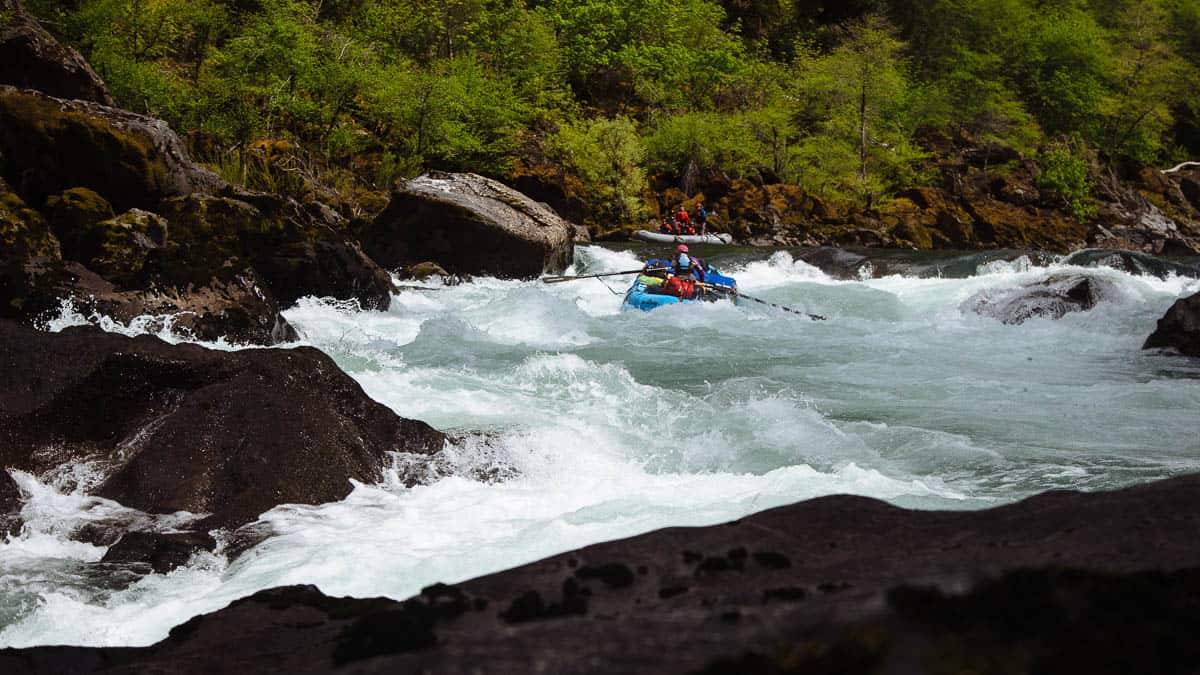
Description
Best put-in may vary with flow, time of year (height of cattails, etc in marshy area), individual boater's inclination, and possibly upon where legal access is possible.
1) The nearest bridge upstream (Town Line Road) has no shoulders to park on.
2) The next bridge is about 0.75 miles upstream (at Hwy.ES), and appears slightly more favorable, but adds nothing but flatwater to be paddled.
3) Access might be possible from a new development on Wetland Way if there are outlots or public paths provided to access the creek and ponds (Unknown at present). (We are listing this as the 'uppermost likely put-in'.)
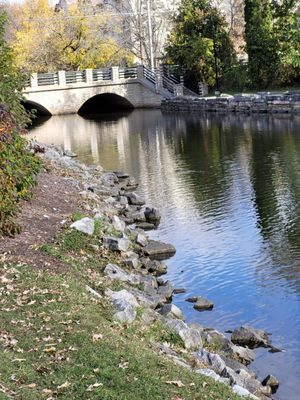
4) Each of the above having been said, most likely will be to just park at Mill Pond Park on Hwy.120 (Church Street in East Troy), and hike up paths to scout and access the creek at the most convenient spot you can find.
Location

Current Conditions
5-Day Forecast
American Whitewater