Rapid
WI
Confluence
Save this feature with the run it belongs to.
Gauge Conditions
Data from American Whitewater & USGS
Photo
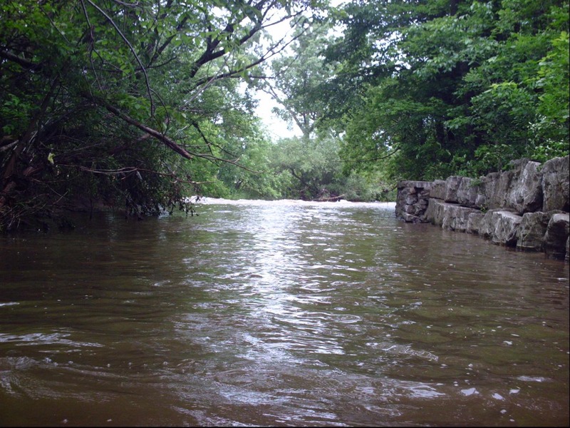
Photo courtesy of American Whitewater
Description
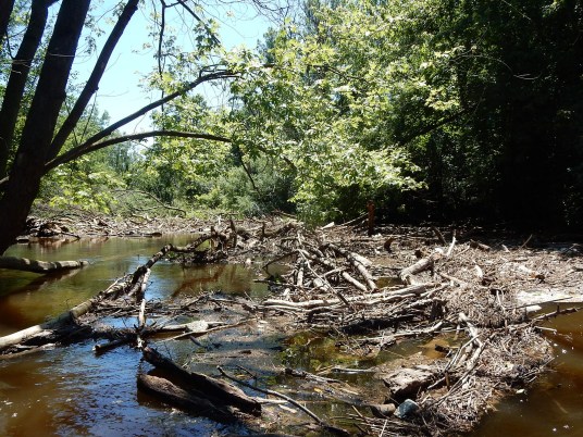
Be aware that there is a failed gabion basket lying midstream at the confluence with the Menomonee River. This is no problem if you are upright, but potentially ugly if you flip or are out of your boat coming through here. You don't want to roll or swim at the confluence and get snagged by a chain-link-fence-basket full of rocks! It also makes this an 'iffy' spot to try for any stalls or squirts in the confluence currents.
While this is the end of Honey Creek, few boaters will take out here. Most will continue about 2 miles, down the better part of the 'MenTosa' run (Menomonee River in Wauwatosa), utilizing it's take-out.
Location
Interactive river map
Loads as you approach this section.
Other Rapids on This Run (17)
 Rapid
N/A
Rapid
N/A
Underground!
 Rapid
N/A
Rapid
N/A
WATER QUALITY NOTICE!
 Rapid
N/A
Rapid
N/A
Put-in
 Waterfall
N/A
Waterfall
N/A
Minor Pourover
 Hazard
II+
Hazard
II+
First Pourover (AFJ: Athletic Fields Jump)
 Hazard
II+
Hazard
II+
Second Pourover (WLJ: Wisconsin Lutheran Jump)
 Hazard
II+
Hazard
II+
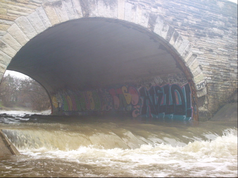
Third Pourover (BRJ: Bluemound Road Jump)
 Hazard
II+
Hazard
II+
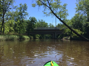
Fourth Pourover (HCPJ: Honey Creek Parkway Jump)
 Hazard
N/A
Hazard
N/A
W.Wisconsin Avenue Bridge
 Rapid
II+
Rapid
II+
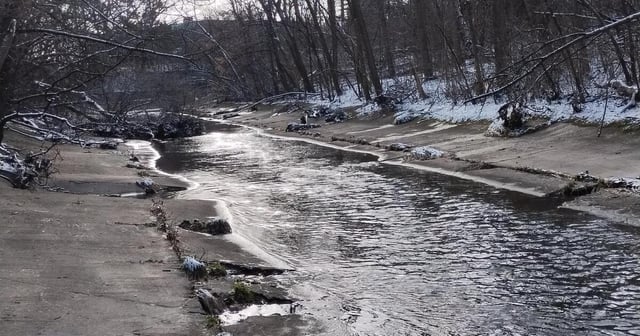
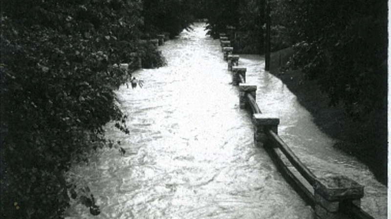
End of cement ditch
 Playspot
N/A
Playspot
N/A
Parkway Bridge Wave (PBW)
 Waterfall
II+
Waterfall
II+
Fifth Pourover (PAJ: Portland Avenue Jump)
 Rapid
N/A
Rapid
N/A
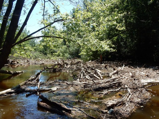
Rock Garden (deadfall area!)
 Hazard
N/A
Hazard
N/A
Shoals (deadfall area)
 Rapid
N/A
Rapid
N/A
Utility Transect Wave (UTW) and Rock Garden #2
 Rapid
N/A
Rapid
N/A
USGS Gauge: 10.3 square mile drainage
 Rapid
II+
Rapid
II+
Final Pitch
View Full Run
Honey Creek Pkwy. to Menomonee R. (1.76+2.14 miles)
Honey Creek (Menomonee Trib)
II-III+
1.8 mi
Current Conditions
5-Day Forecast
Whitewater data from
American Whitewater
American Whitewater