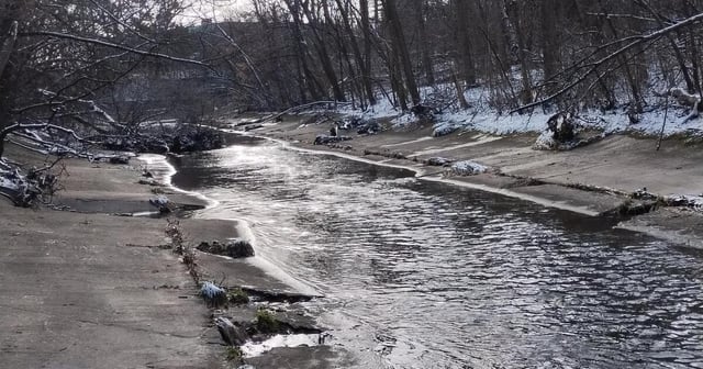
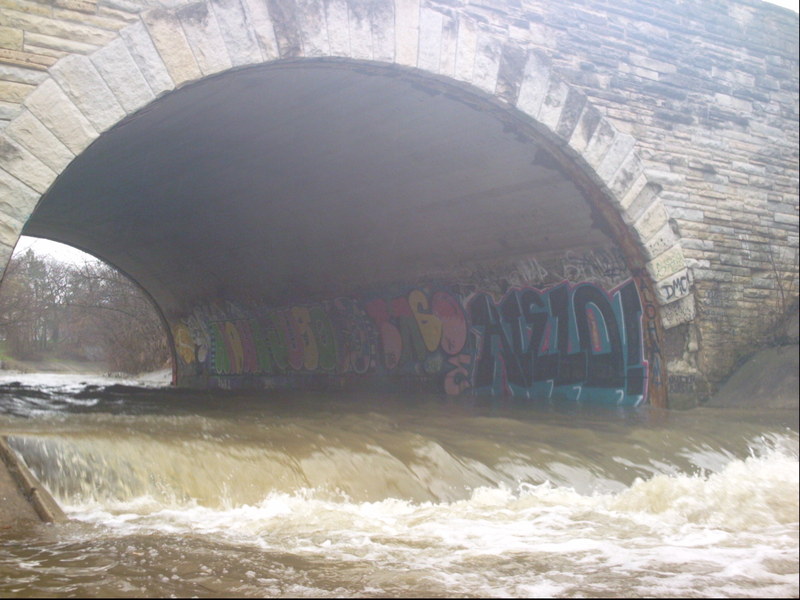
End of cement ditch
Save this feature with the run it belongs to.
Gauge Conditions
Photo
Description
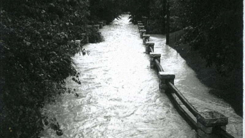
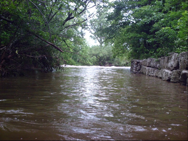
At this point the bottom changes, from concrete to scattered rocks and bedrock. Most of the remainder of the run, either one or both riverbanks will be man-made vertical stone walls. There will be eddies and places one can get ashore, but there will also be places that is not likely nor easy!
Immediately upon leaving the cement ditch, considerable rock rubble populates the streambed. (Expect much grunging at lower flows.)
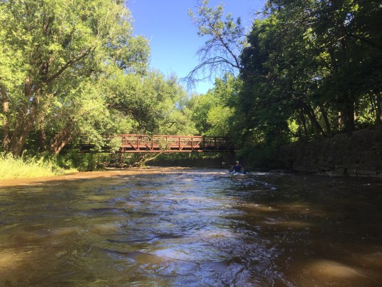
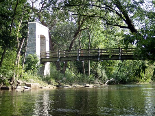
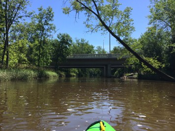
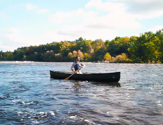
As the creek swings to the right and heads to the next road crossing, you will find a really sweet little rapids. The left bank is vertical grouted-rock wall, with the strongest current immediately alongside. River-right has shoreline eddies, and the shore is dirt, shrubbery and trees.
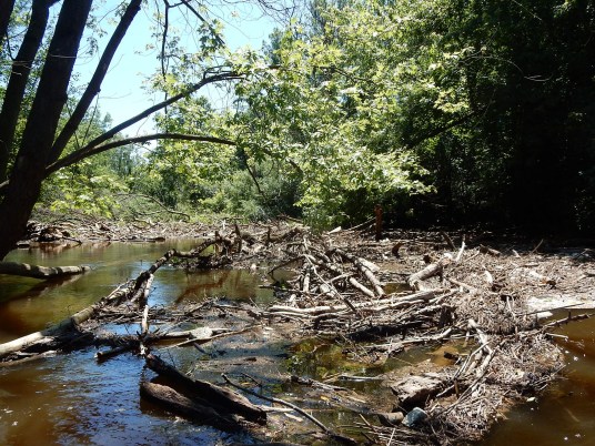
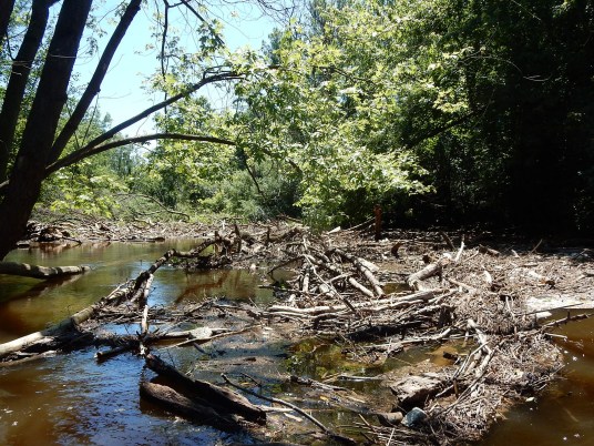
Since this is a rather blind roundhouse curve with strong current, WHILE RUNNING SHUTTLE, STOP AND PARK TO SCOUT FOR STRAINERS OR SNAGS!
Location
Other Rapids on This Run (17)
 Rapid
N/A
Rapid
N/A
 Rapid
N/A
Rapid
N/A
 Rapid
N/A
Rapid
N/A
 Waterfall
N/A
Waterfall
N/A
 Hazard
II+
Hazard
II+
 Hazard
II+
Hazard
II+
 Hazard
II+
Hazard
II+
 Hazard
II+
Hazard
II+
 Hazard
N/A
Hazard
N/A
 Playspot
N/A
Playspot
N/A
 Waterfall
II+
Waterfall
II+
 Rapid
N/A
Rapid
N/A
 Hazard
N/A
Hazard
N/A
 Rapid
N/A
Rapid
N/A
 Rapid
N/A
Rapid
N/A
 Rapid
II+
Rapid
II+
 Rapid
N/A
Rapid
N/A
Current Conditions
5-Day Forecast
American Whitewater