Final Pitch
Save this feature with the run it belongs to.
Gauge Conditions
Photo
Description
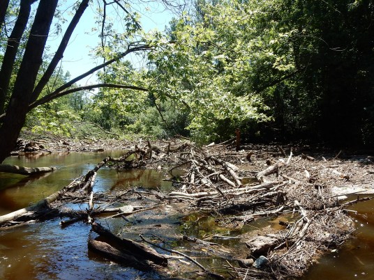
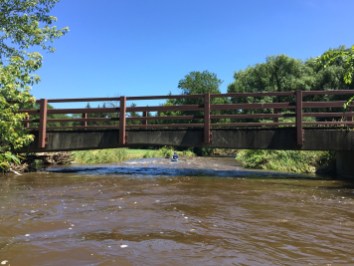
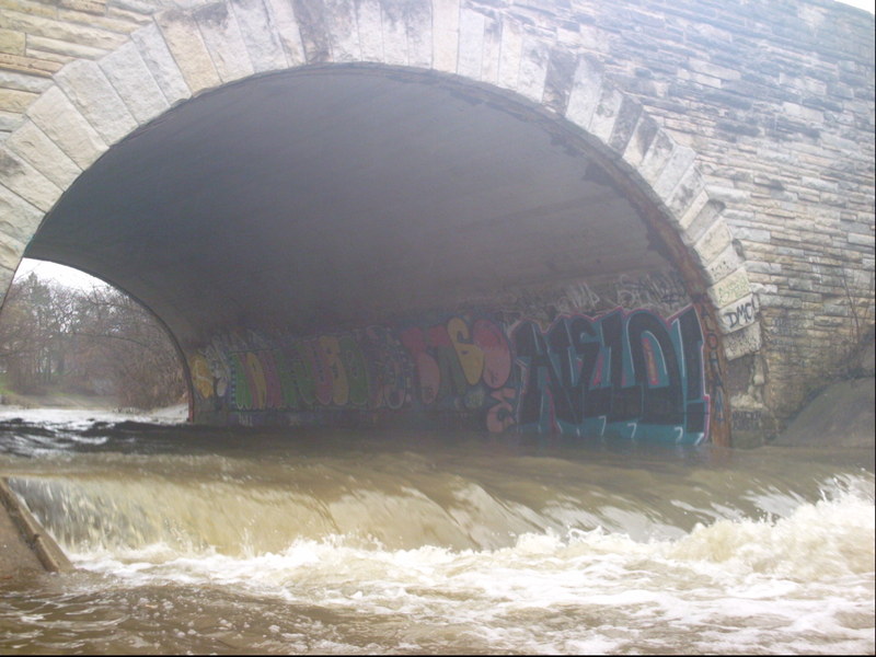
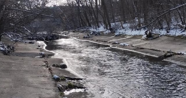
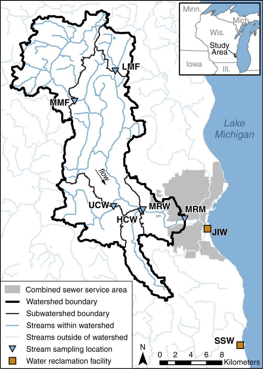
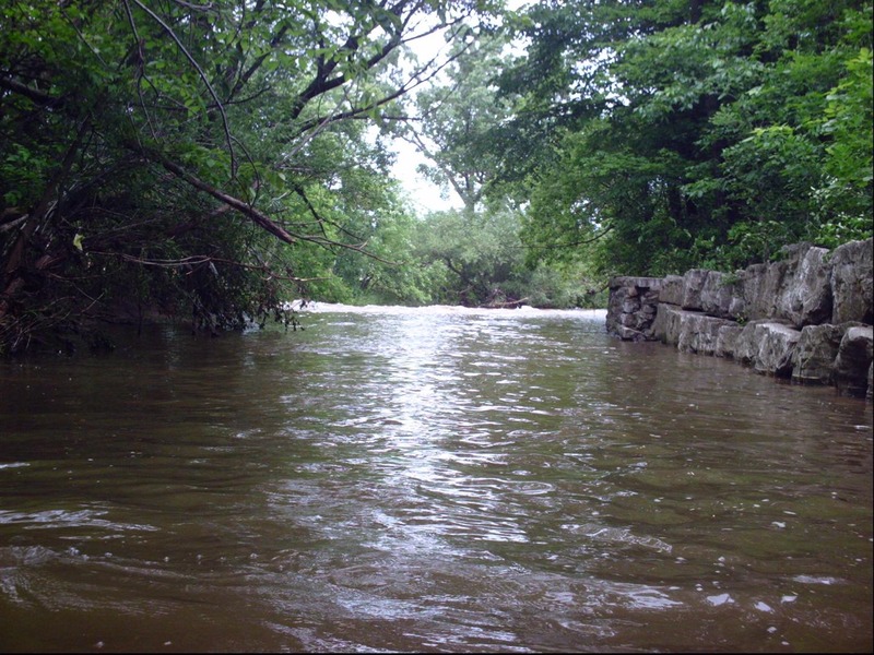
Beyond the final road bridge (with the gauge), the stream twists to the right and widens. A major gravel shoals has been deposited here which will be 'grungy' at 'low-boatable' flows.
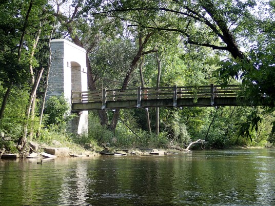
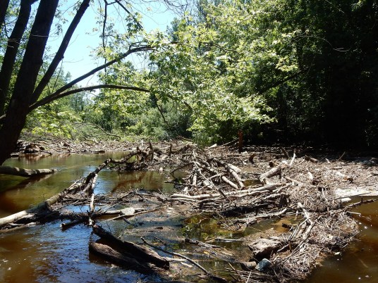
The left shore is highly eroded. Trees drop from shore (or wash down and accumulate there), so head river-right (at flows above 250 cfs) to avoid those complications, and line up for the final pitch. The right bank (upstream and downstream of the pedestrian-and-bike-path bridge) is vertical rock wall and failing gabion baskets.
The creek plunges over boulder rubble pitch into a narrowing. Depending upon wood and flow, some skilled maneuvering may be needed!
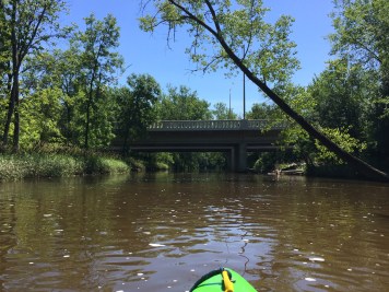
While running shuttle, stop, walk onto the bikepath bridge, look upstream and down to check wood and water situation here before putting on! Walk upstream to have a look at the approach to see if wood exists on the shoals upstream.
Most folks will continue to the confluence and catch most of the MenTosa run to its takeout. For the exceedingly rare circumstance that it is necessary or otherwise desired to skip that, take-out is best river-left, either immediately under the pedestrian bridge, or as soon thereafter as practical.
Location
Other Rapids on This Run (17)
 Rapid
N/A
Rapid
N/A
 Rapid
N/A
Rapid
N/A
 Waterfall
N/A
Waterfall
N/A
 Rapid
N/A
Rapid
N/A
 Hazard
II+
Hazard
II+
 Hazard
II+
Hazard
II+
 Hazard
II+
Hazard
II+
 Hazard
II+
Hazard
II+
 Hazard
N/A
Hazard
N/A
 Rapid
II+
Rapid
II+
 Playspot
N/A
Playspot
N/A
 Waterfall
II+
Waterfall
II+
 Rapid
N/A
Rapid
N/A
 Hazard
N/A
Hazard
N/A
 Rapid
N/A
Rapid
N/A
 Rapid
N/A
Rapid
N/A
 Rapid
N/A
Rapid
N/A
Current Conditions
5-Day Forecast
American Whitewater