USGS Gauge: 10.3 square mile drainage
Save this feature with the run it belongs to.
Gauge Conditions
Photo
Description
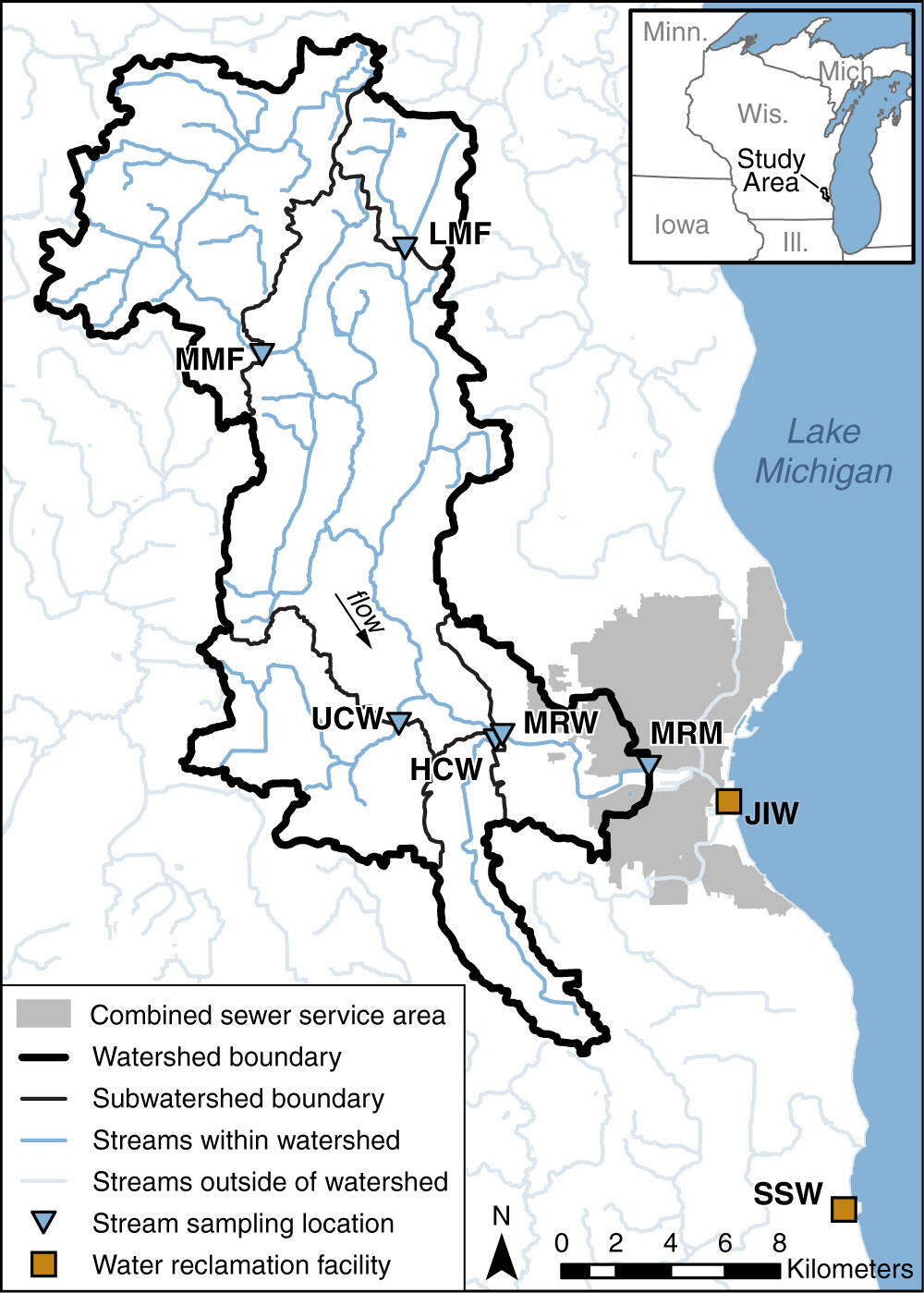
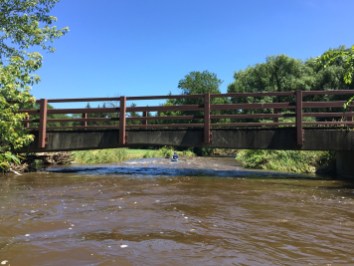
The gauge is on river-left at the upstream (south) side of a bridge on West Honey Creek Parkway.
As with a number of USGS gauges, a camera at this gauge takes a time-lapse video (still-photos, once per hour), so ... "SMILE! You're on candid camera!"
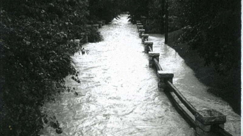
As the photo shows (well, if you go to the 'Gallery' and go to the photo, and click on "Full Resolution"), this creek flashes up (and down) very quickly.
When the 8:00AM reading was posted (at 8:20-8:30), you saw less than 10 cfs. When the 9:00AM reading was posted (at 9:20-9:30), you saw 457 cfs (and likely would have said "Let's go!"). By the time you loaded into your vehicle (possibly calling or messaging other boating friends to join you), and drove to your take-out, scouted the HIGHLY RECOMMENDED locations, and got to the put-in, it would likely be 10:30 (or later), and the creek was back down to 235 cfs,and dropping to 140 cfs by the time you hit the confluence with MenTosa!
Location
Other Rapids on This Run (17)
 Rapid
N/A
Rapid
N/A
 Rapid
N/A
Rapid
N/A
 Waterfall
N/A
Waterfall
N/A
 Rapid
N/A
Rapid
N/A
 Hazard
II+
Hazard
II+
 Hazard
II+
Hazard
II+
 Hazard
II+
Hazard
II+
 Hazard
II+
Hazard
II+
 Hazard
N/A
Hazard
N/A
 Rapid
II+
Rapid
II+
 Playspot
N/A
Playspot
N/A
 Waterfall
II+
Waterfall
II+
 Rapid
N/A
Rapid
N/A
 Hazard
N/A
Hazard
N/A
 Rapid
N/A
Rapid
N/A
 Rapid
II+
Rapid
II+
 Rapid
N/A
Rapid
N/A
Current Conditions
5-Day Forecast
American Whitewater