Shoals (deadfall area)
Save this feature with the run it belongs to.
Gauge Conditions
Photo
Description
A bit downstream of the prior rock garden area, after passing river-left gabion basket shores (wire cages filled with rock), lies an area of rocks and gravel deposits. The deepest channel is to river-left, while center-to-right is shallow gravel shoals.
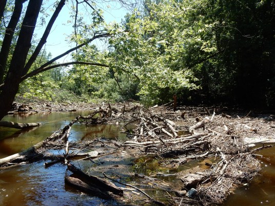
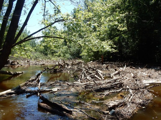
For years, a large tree has blocked the creek here. At high flows, it may be possible to paddle over the left/trunk end (if it hasn't accumulated any additional wood). At most flows, it will be necessary to get to river-right (the branchy upper part of the tree). At low-to-moderate flows you'll grunge out and portage in stream to past the tree. At some high flows (if the left/trunk end is not passable) it may be possible to paddle around the rightmost/uppermost part of the tree.
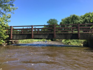
Before putting on, while setting shuttle, stop about 200' west/upstream of the final bridge (where the USGS gauge is) to walk across a finger-like clearing and into the woods to see this area of river. NOTE: Photo is from downstream, looking up, so right of photo is river-left.
Location
Other Rapids on This Run (17)
 Rapid
N/A
Rapid
N/A
 Rapid
N/A
Rapid
N/A
 Waterfall
N/A
Waterfall
N/A
 Rapid
N/A
Rapid
N/A
 Hazard
II+
Hazard
II+
 Hazard
II+
Hazard
II+
 Hazard
II+
Hazard
II+
 Hazard
II+
Hazard
II+
 Hazard
N/A
Hazard
N/A
 Rapid
II+
Rapid
II+
 Playspot
N/A
Playspot
N/A
 Waterfall
II+
Waterfall
II+
 Rapid
N/A
Rapid
N/A
 Rapid
N/A
Rapid
N/A
 Rapid
N/A
Rapid
N/A
 Rapid
II+
Rapid
II+
 Rapid
N/A
Rapid
N/A
Current Conditions
5-Day Forecast
American Whitewater