Put-in
CA
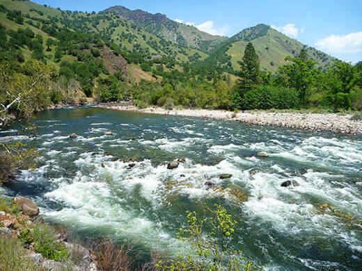
Confluence of Middle & South Forks Kings
Save this feature with the run it belongs to.
Gauge Conditions
Runnable: ? – ? CFS
Approximate - nearest available gauge. Use as general reference only.
Data from American Whitewater & USGS
CDEC Flow Data California
Data from California Data Exchange Center (CDEC)
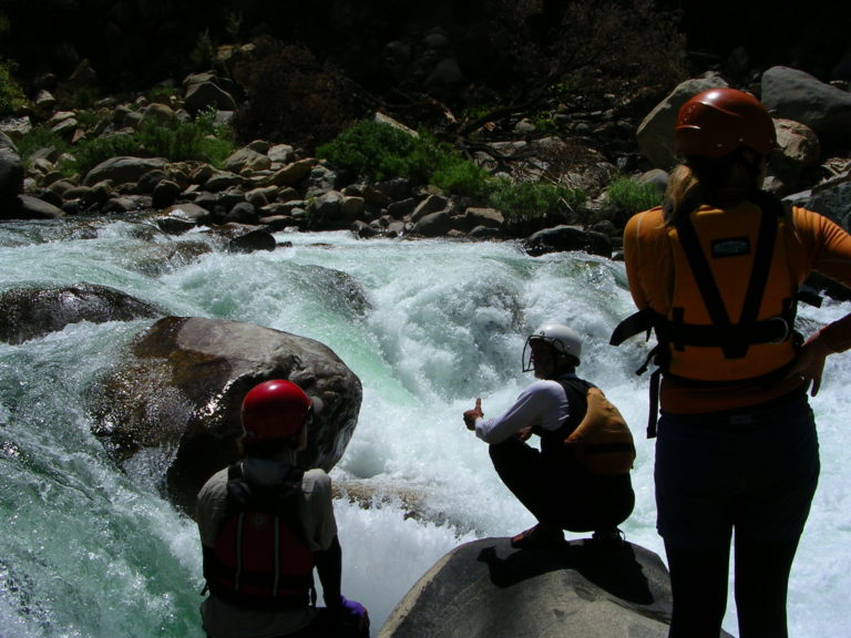
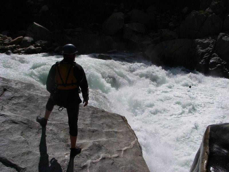
Photo
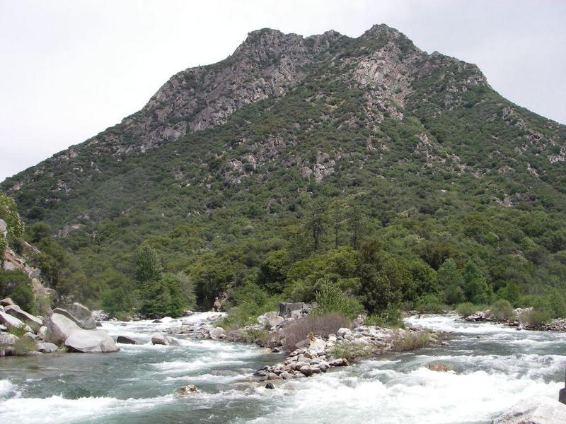
Photo courtesy of American Whitewater
Description
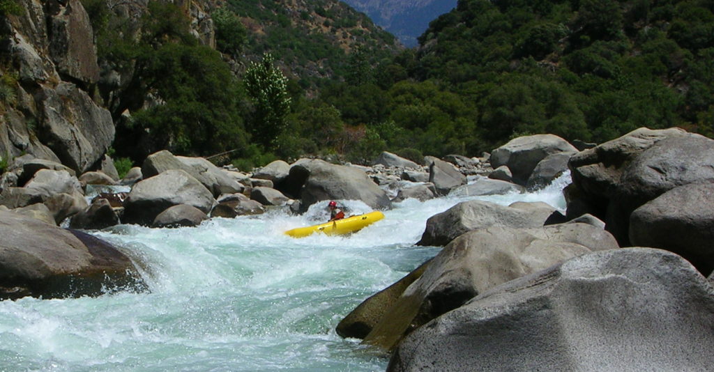
After a leisurely two mile walk down the Yucca Point trail, the clear waters of the river will be enticing. It is a nice place to swim with a modest sized eddy, a small gravel beach and a big smooth flattish bedrock to lay out on. If the flow is low you can swim further out and about. About one third to half way down the trail, there is a short side trail to swimming holes on Ten Mile Creek. I emphasize swimming here because unintentional swimming further downstream in Kings Canyon could be much less pleasant! There are some wonderful huge pools through out the section though, that are worth exploring if you take the time.
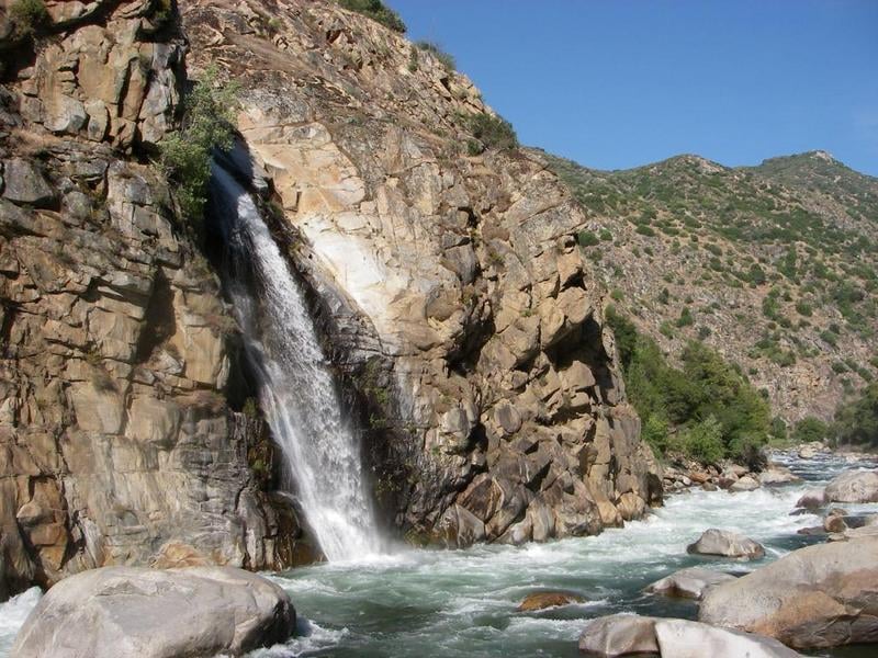
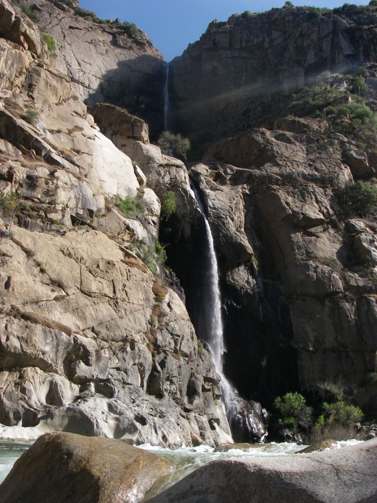
Ten Mile Creek gets kayaked in the early spring at the inflow to Hume Lake and a bit upstream. Below Hume Lake to the Kings River, Ten Mile Creek is a beautiful but relatively moderate canyoneering trip. Ropes are not absolutely mandatory for strong climbers, but rappels in a few spots allow people to stay in the creek bed and avoid nasty thrashing in the brush and poison oak on the hillsides. This creek is very steep and one should have good rock climbing skills before exploring very far up or downstream.
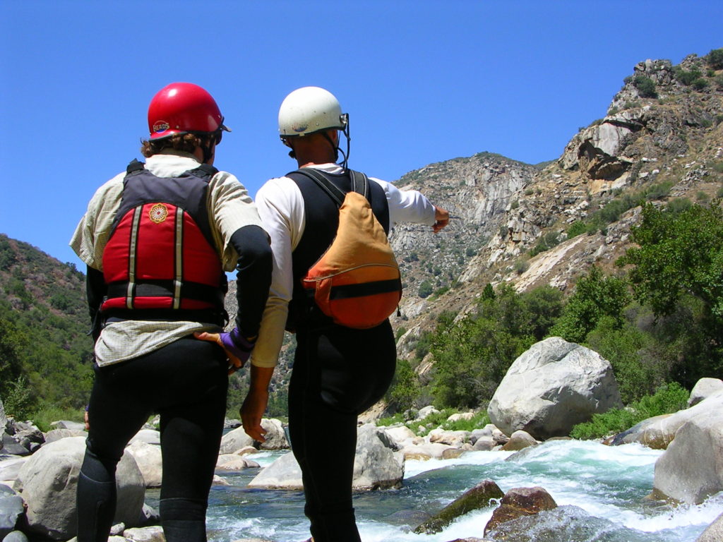
The put in pool allows paddlers a warm up while waiting. An easy rapid gets the arms working. Within a few hundred yards though, at the confluence with Ten Mile Creek, the river bends right and drops over several junky ledges, creating a class 4 rapid. The biggest hole is on the left, but smaller holes will keep paddlers busy.
Ten Mile Creek gets kayaked in the early spring at the inflow to Hume Lake and a bit upstream. Below Hume Lake to the Kings River, Ten Mile Creek is a beautiful but relatively moderate canyoneering trip. Ropes are not absolutely mandatory for strong climbers, but rappels in a few spots allow people to stay in the creek bed and avoid nasty thrashing in the brush and poison oak on the hillsides. This creek is very steep and one should have good rock climbing skills before exploring very far up or downstream.
The put in pool allows paddlers a warm up while waiting. An easy rapid gets the arms working. Within a few hundred yards though, at the confluence with Ten Mile Creek, the river bends right and drops over several junky ledges, creating a class 4 rapid. The biggest hole is on the left, but smaller holes will keep paddlers busy.
Location
Interactive river map
Loads as you approach this section.
Other Rapids on This Run (14)
 Rapid
IV
Rapid
IV
10 Mile Creek Rapid
Rapid
V
Entrance Exam, aka Butthole Surfer
 Rapid
Rapid
Big Long Rapid
 Rapid
Rapid
Grizzly
 Rapid
Rapid
The Wall
 Rapid
Rapid
Warp 2
 Rapid
Rapid
Cassady Falls
 Rapid
Rapid
That's Dumb
 Rapid
Rapid
Rough Creek
 Rapid
Rapid
Garlic Creek
 Rapid
Rapid
Little Hand of God
 Rapid
V
Rapid
V
Hand of God
 Rapid
IV
Rapid
IV
Converse Creek Rapid
 Rapid
N/A
Rapid
N/A
Take Out
View Full Run
1. Middle, S. Fork confluence to Garnet Dike Campground
Kings
V
9.9 mi
Current Conditions
5-Day Forecast
Whitewater data from
American Whitewater
American Whitewater