Rapid
CA
Garlic Creek
Save this feature with the run it belongs to.
Gauge Conditions
Runnable: ? – ? CFS
Approximate - nearest available gauge. Use as general reference only.
Data from American Whitewater & USGS
CDEC Flow Data California
Data from California Data Exchange Center (CDEC)
Photo
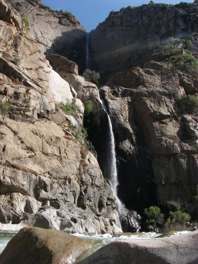
Photo courtesy of American Whitewater
Description
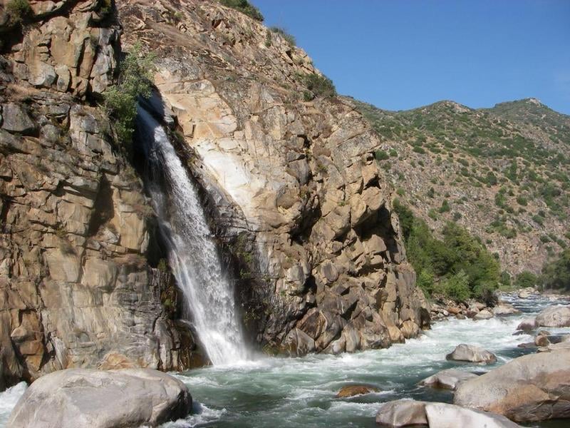
This rapid is at the base of Garlic Creek Falls. Large boulders create a variety of channel and drops. This rapid has usually felt to be one of the easier class 5 rapids on this section. The key is figuring out which routes are good and which are dead ends. Scout or portage on the left. This rapid marks the end of the class 5 rapids till Little Hand of God, two miles downstream.
Location
Other Rapids on This Run (14)
 Rapid
Rapid
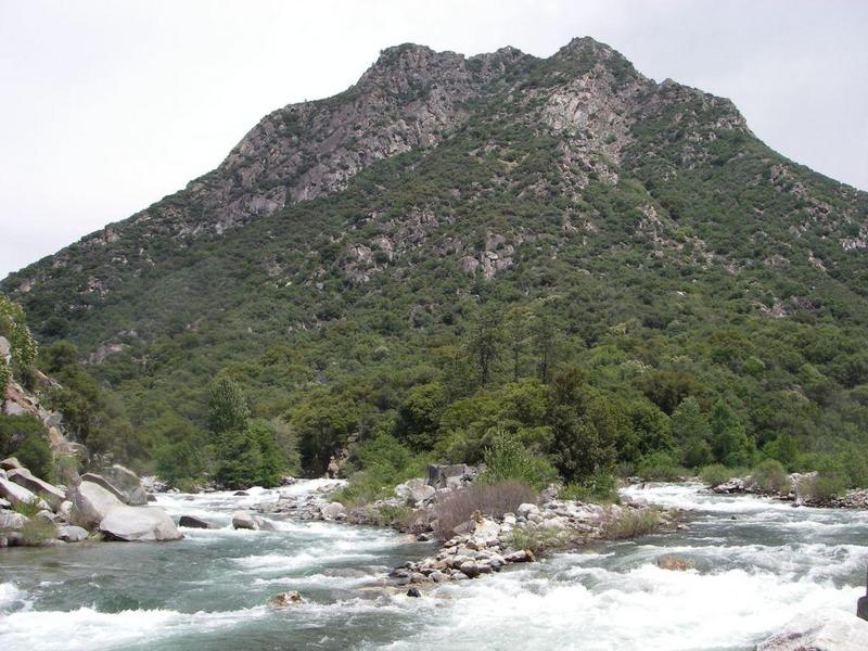
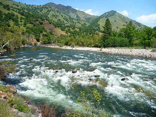
Confluence of Middle & South Forks Kings
 Rapid
IV
Rapid
IV
10 Mile Creek Rapid
Rapid
V
Entrance Exam, aka Butthole Surfer
 Rapid
Rapid
Big Long Rapid
 Rapid
Rapid
Grizzly
 Rapid
Rapid
The Wall
 Rapid
Rapid
Warp 2
 Rapid
Rapid
Cassady Falls
 Rapid
Rapid
That's Dumb
 Rapid
Rapid
Rough Creek
 Rapid
Rapid
Little Hand of God
 Rapid
V
Rapid
V
Hand of God
 Rapid
IV
Rapid
IV
Converse Creek Rapid
 Rapid
N/A
Rapid
N/A
Take Out
View Full Run
1. Middle, S. Fork confluence to Garnet Dike Campground
Kings
V
9.9 mi
Current Conditions
5-Day Forecast
Whitewater data from
American Whitewater
American Whitewater