Rapid
CA
Rough Creek
Save this feature with the run it belongs to.
Gauge Conditions
Runnable: ? – ? CFS
Approximate - nearest available gauge. Use as general reference only.
Data from American Whitewater & USGS
CDEC Flow Data California
Data from California Data Exchange Center (CDEC)
Photo
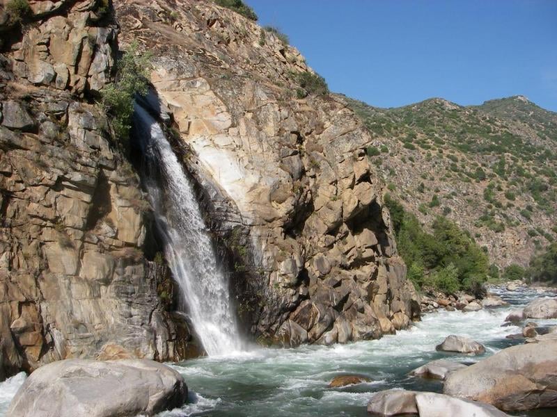
Photo courtesy of American Whitewater
Description
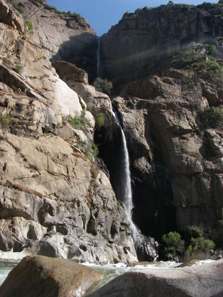
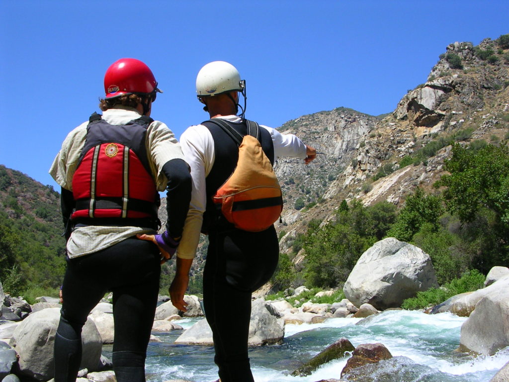
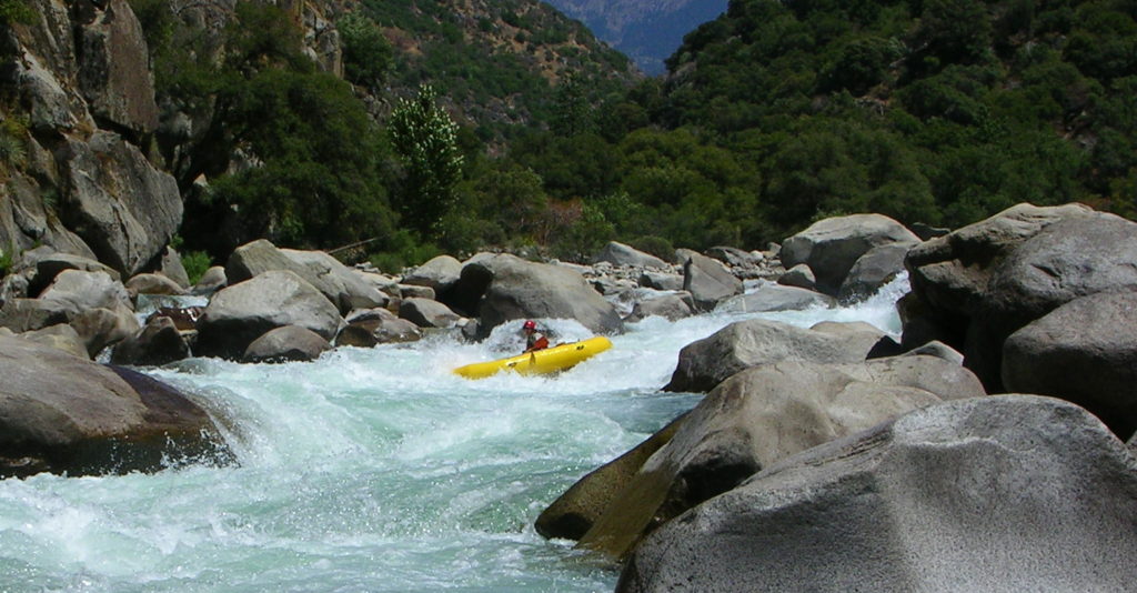
The beautiful Rough Creek Falls drop about a hundred feet into a pool at the base of this rapid. Boulders occupy the left side of the canyon and constrict the river against the right side cliff. Boulders also block the entrance, forming a couple narrow chutes and restricting one's view until committed to the drop. At low to moderate flows, kayakers can enter on the far right and paddle back towards the left, fighting through a couple holes. Scout, set safety or portage on river left.
Take time to enjoy the pool here and perhaps explore the weird geologic formation downstream of the falls. The next quarter mile is one long class 5. If you need to portage this section it will be over monster boulders on the left, then over boulders on the right.
Take time to enjoy the pool here and perhaps explore the weird geologic formation downstream of the falls. The next quarter mile is one long class 5. If you need to portage this section it will be over monster boulders on the left, then over boulders on the right.
Location
Other Rapids on This Run (14)
 Rapid
Rapid
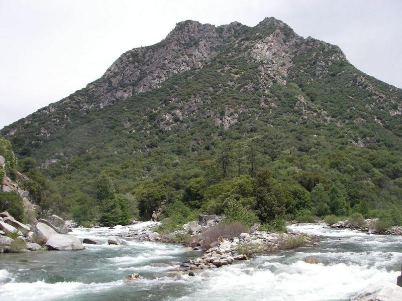
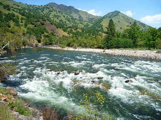
Confluence of Middle & South Forks Kings
 Rapid
IV
Rapid
IV
10 Mile Creek Rapid
Rapid
V
Entrance Exam, aka Butthole Surfer
 Rapid
Rapid
Big Long Rapid
 Rapid
Rapid
Grizzly
 Rapid
Rapid
The Wall
 Rapid
Rapid
Warp 2
 Rapid
Rapid
Cassady Falls
 Rapid
Rapid
That's Dumb
 Rapid
Rapid
Garlic Creek
 Rapid
Rapid
Little Hand of God
 Rapid
V
Rapid
V
Hand of God
 Rapid
IV
Rapid
IV
Converse Creek Rapid
 Rapid
N/A
Rapid
N/A
Take Out
View Full Run
1. Middle, S. Fork confluence to Garnet Dike Campground
Kings
V
9.9 mi
Current Conditions
5-Day Forecast
Whitewater data from
American Whitewater
American Whitewater