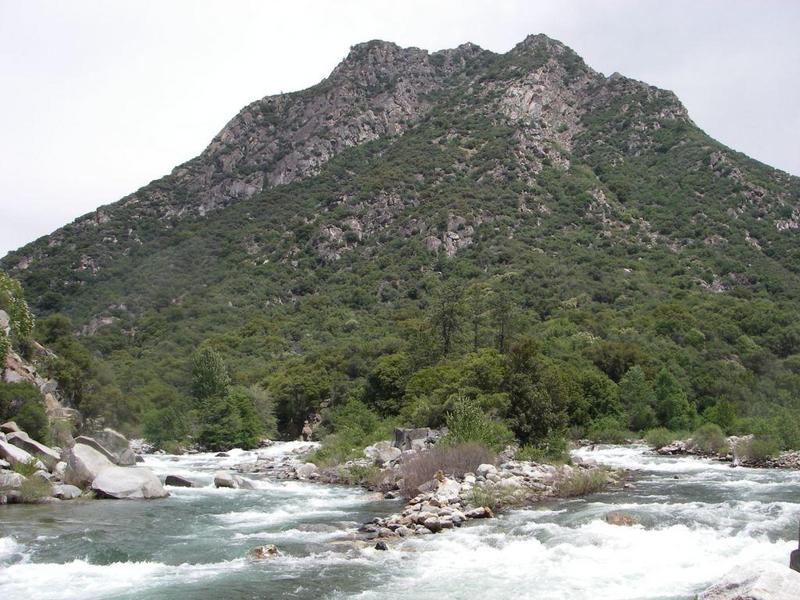
Converse Creek Rapid
Save this feature with the run it belongs to.
Gauge Conditions
Runnable: ? – ? CFS
Approximate - nearest available gauge. Use as general reference only.
Data from American Whitewater & USGS
CDEC Flow Data California
Data from California Data Exchange Center (CDEC)
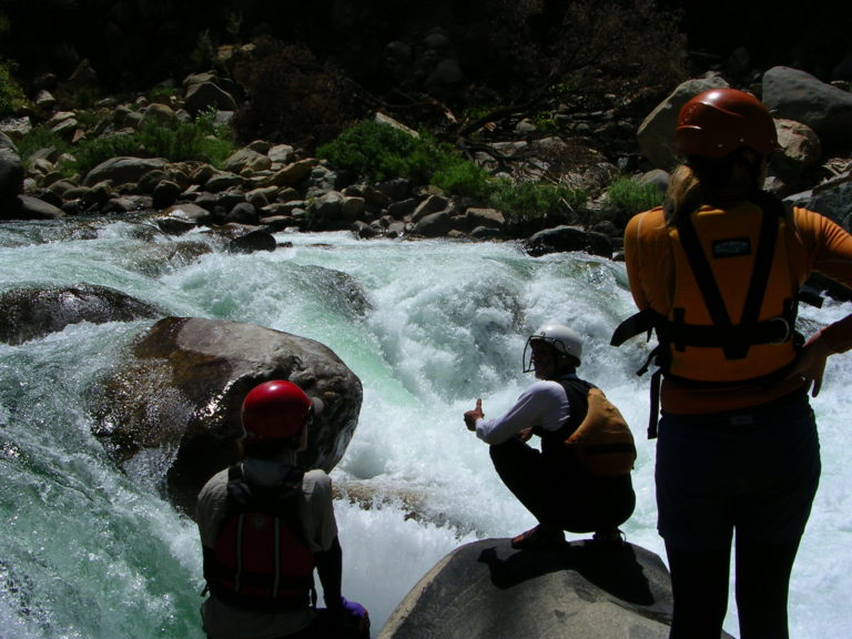
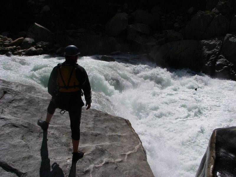
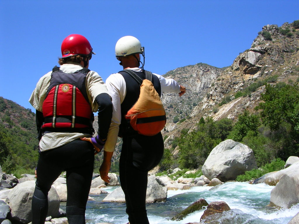
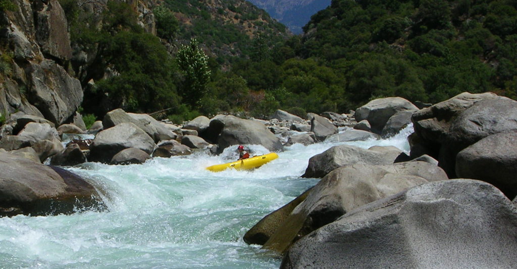
Photo

Photo courtesy of American Whitewater
Description
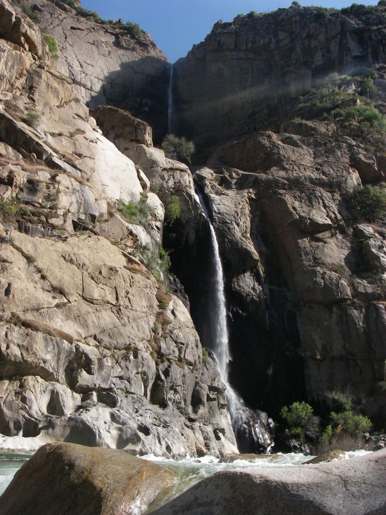
This is the longest and most interesting rapid in the last 3 miles, though several other drops are also very fun and interesting. Converse Creek enters on the left just upstream of this rapid. The rapid itself has a series of ledges and chutes.
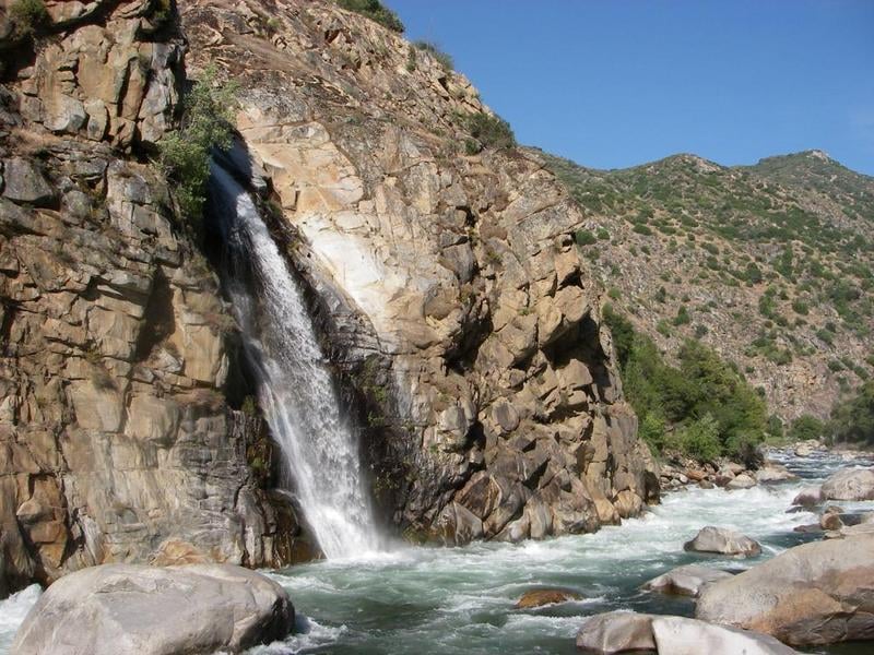
At the headwaters of Converse Creek is Converse Basin and its large grove of Sequoia Gigantea redwoods. This was the second largest grove of giant redwoods till some 6,000 trees were logged between 1892 and 1918, by the Hume Bennet Lumber Company.
Location
Other Rapids on This Run (14)
 Rapid
Rapid
Confluence of Middle & South Forks Kings
 Rapid
IV
Rapid
IV
10 Mile Creek Rapid
Rapid
V
Entrance Exam, aka Butthole Surfer
 Rapid
Rapid
Big Long Rapid
 Rapid
Rapid
Grizzly
 Rapid
Rapid
The Wall
 Rapid
Rapid
Warp 2
 Rapid
Rapid
Cassady Falls
 Rapid
Rapid
That's Dumb
 Rapid
Rapid
Rough Creek
 Rapid
Rapid
Garlic Creek
 Rapid
Rapid
Little Hand of God
 Rapid
V
Rapid
V
Hand of God
 Rapid
N/A
Rapid
N/A
Take Out
View Full Run
1. Middle, S. Fork confluence to Garnet Dike Campground
Kings
V
9.9 mi
Current Conditions
5-Day Forecast
Whitewater data from
American Whitewater
American Whitewater