Take-out
CA
Take Out
Save this feature with the run it belongs to.
Gauge Conditions
Runnable: ? – ? CFS
Approximate - nearest available gauge. Use as general reference only.
Data from American Whitewater & USGS
CDEC Flow Data California
Data from California Data Exchange Center (CDEC)
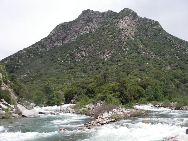
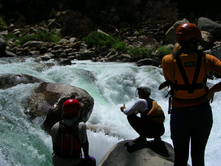
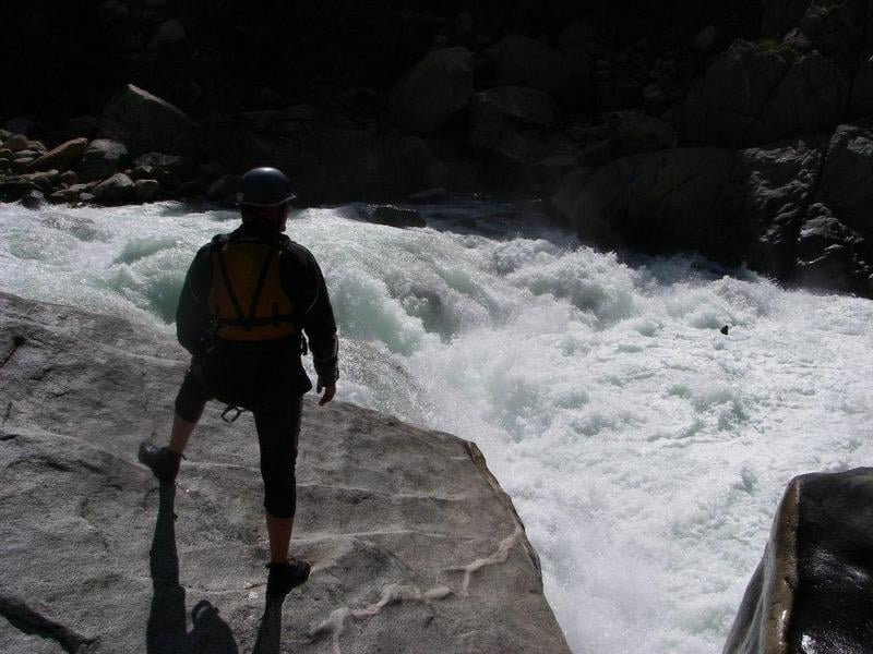
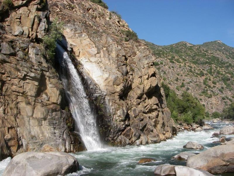
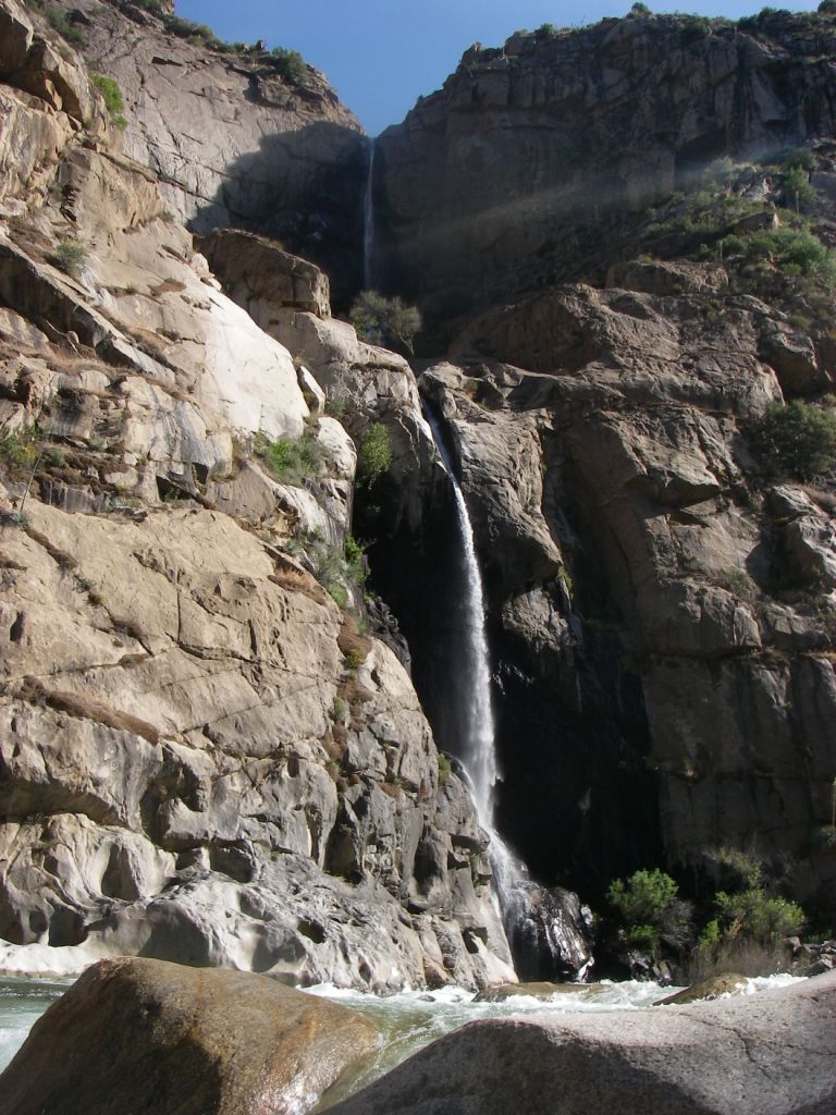
Photo
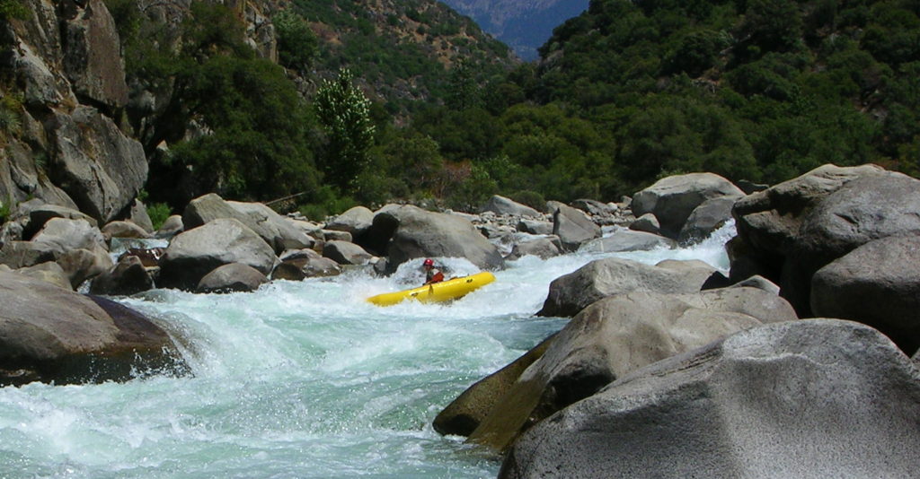
Photo courtesy of American Whitewater
Description
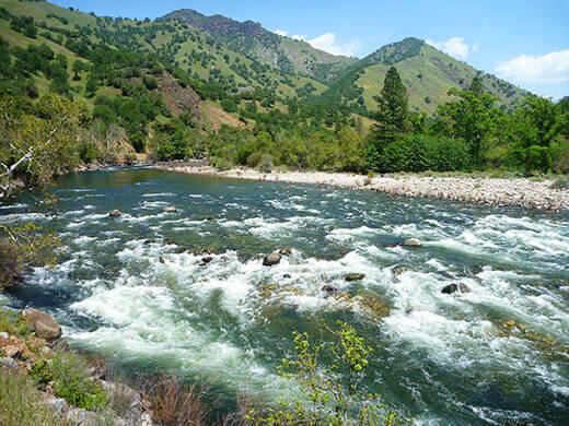
Take Out rapid marks the end of a challenging section, with a complex series of boulder-choked drops requiring precise boat positioning and reading water on the fly. Paddlers should be prepared for tight technical moves between large rocks and potential hidden hydraulics, with multiple potential lines that demand careful scouting and skilled navigation.
Location
Interactive river map
Loads as you approach this section.
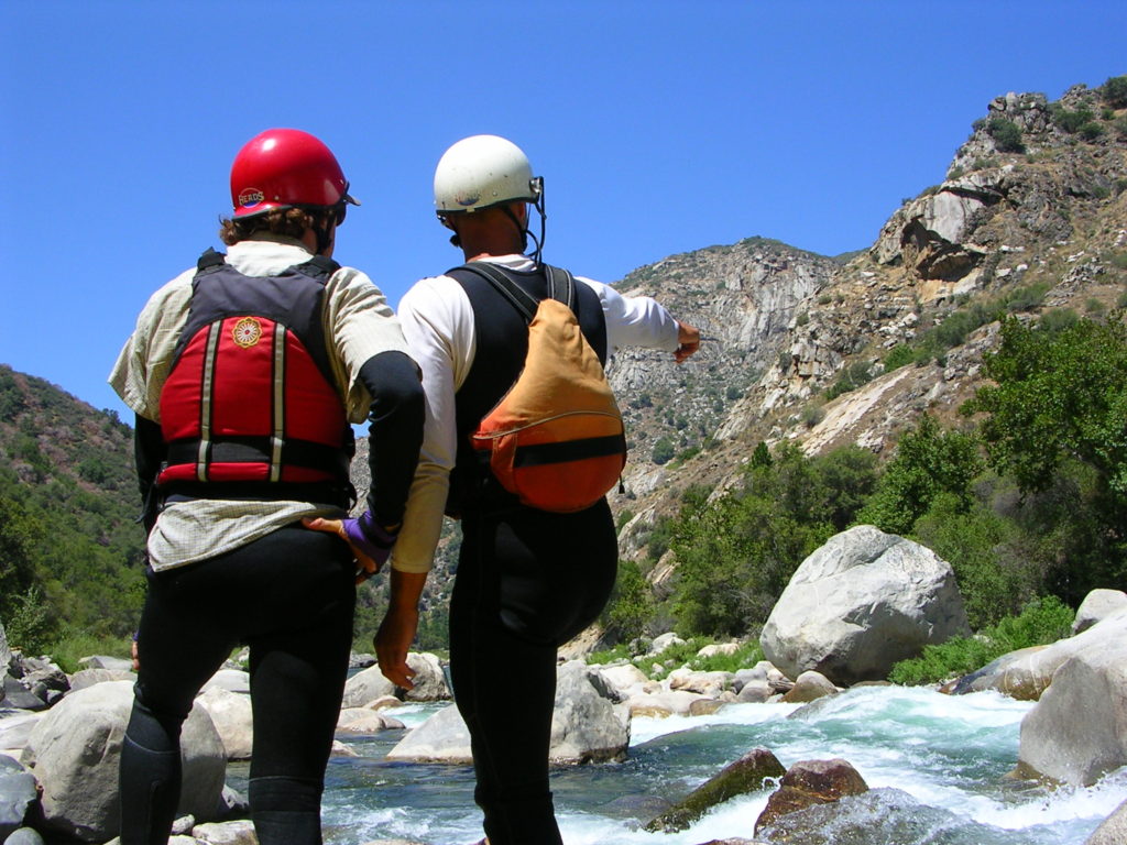
Other Rapids on This Run (14)
 Rapid
Rapid
Confluence of Middle & South Forks Kings
 Rapid
IV
Rapid
IV
10 Mile Creek Rapid
Rapid
V
Entrance Exam, aka Butthole Surfer
 Rapid
Rapid
Big Long Rapid
 Rapid
Rapid
Grizzly
 Rapid
Rapid
The Wall
 Rapid
Rapid
Warp 2
 Rapid
Rapid
Cassady Falls
 Rapid
Rapid
That's Dumb
 Rapid
Rapid
Rough Creek
 Rapid
Rapid
Garlic Creek
 Rapid
Rapid
Little Hand of God
 Rapid
V
Rapid
V
Hand of God
 Rapid
IV
Rapid
IV
Converse Creek Rapid
View Full Run
1. Middle, S. Fork confluence to Garnet Dike Campground
Kings
V
9.9 mi
Current Conditions
5-Day Forecast
Whitewater data from
American Whitewater
American Whitewater