Rapid
WI
Confluence w.Cedar Creek
Save this feature with the run it belongs to.
Gauge Conditions
Runnable: ? – ? CFS
Approximate - nearest available gauge. Use as general reference only.
Data from American Whitewater & USGS
Description
Cedar Creek can be a fine 'companion run'. Those looking for the best whitewater action on it take out where it crosses CTH.T, but it could also be continued down to this confluence (and beyond, to next listed access).
Location
Interactive river map
Loads as you approach this section.
Other Rapids on This Run (15)
 Hazard
N/A
Hazard
N/A
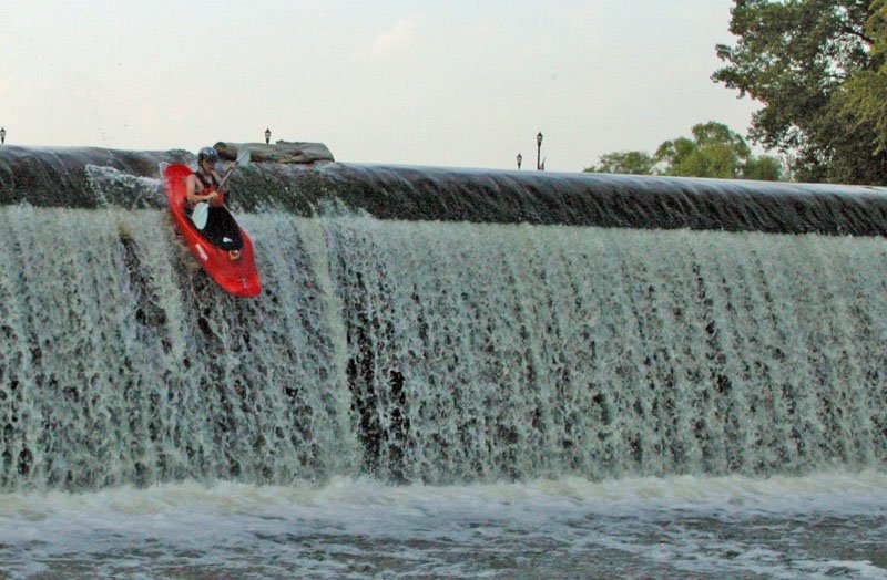
Bridge Street Dam
Rapid
N/A
Put-in; Drainage area: ~470 sq.mi.
 Playspot
I
Playspot
I
1st Squirt Spot
Rapid
N/A
Grotto Wall
 Playspot
I
Playspot
I
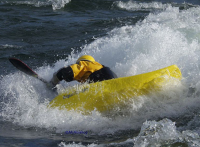
Minor play wave.
 Playspot
I
Playspot
I
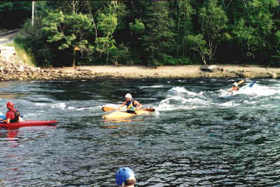
Tame play wave, and 2nd Squirt Spot
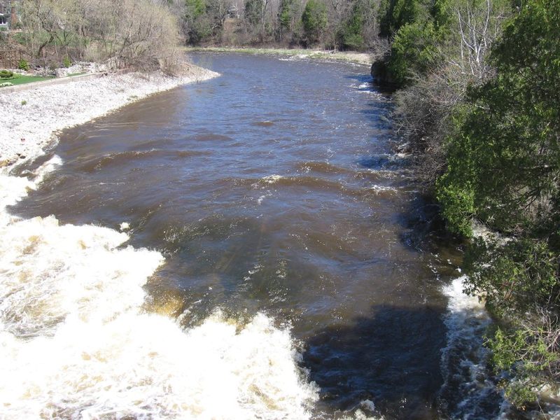 Hazard
II+
Hazard
II+
Falls Road Ledge
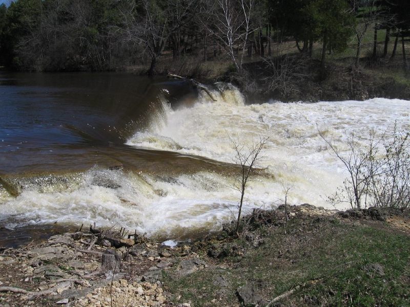 Playspot
I
Playspot
I
FORMER site of Lime Kiln Park Dam
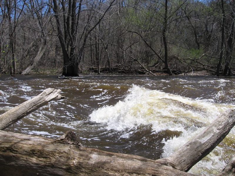 Playspot
N/A
Playspot
N/A
Lime Kiln Park Ledge/Wave (LKPWave)
Rapid
N/A
Lime Kiln Park Canoe Landing
Rapid
N/A
Grafton Dells
Rapid
N/A
CTH.T/Lakefield Road; Drainage Area: ~472 sq.mi.
Rapid
N/A
CTH.C/Pioneer Road
Rapid
N/A
Highland Road
Rapid
N/A
Thiensville Village Park
View Full Run
B) Grafton Dells: Bridge Street to Lime Kiln Park Landing (PnP or 1.2 miles)
Milwaukee
I-II(III)
1.2 mi
Current Conditions
5-Day Forecast
Whitewater data from
American Whitewater
American Whitewater