Tame play wave, and 2nd Squirt Spot
Save this feature with the run it belongs to.
Gauge Conditions
Approximate - nearest available gauge. Use as general reference only.
Photo
Description
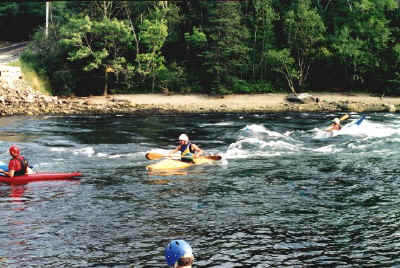
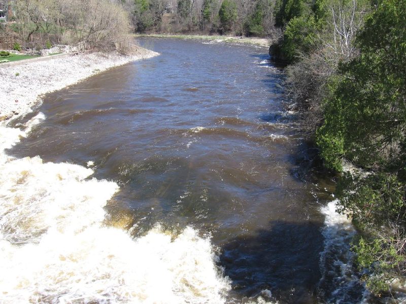
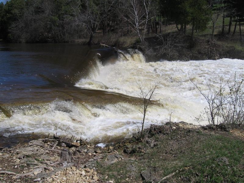
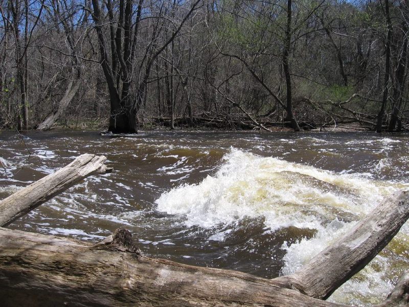
OK, there really are at least a few other spots for squirts and minor surfs (depending upon flows). However, the second more significant one will be at river-right, as you pass another rock outcropping on shore, and encounter a couple decent sized rocks in the river (covered but visible around 800 cfs, obviously visible at lower flows, imperceptable at higher flows). A decent shore-eddy allows staging to paddle up toward the rocks, plow the bow (or stern) in just toward center-stream of them and get vertical. There is good depth immediately adjacent to them for stalls and squirts (and rolling if you have to), but there will be some large rocks if you miss your first or second roll attempt.
Location
Other Rapids on This Run (15)
 Hazard
N/A
Hazard
N/A
 Playspot
I
Playspot
I
 Playspot
I
Playspot
I
 Hazard
II+
Hazard
II+
 Playspot
I
Playspot
I
 Playspot
N/A
Playspot
N/A
Current Conditions
5-Day Forecast
American Whitewater