Falls Road Ledge
Save this feature with the run it belongs to.
Gauge Conditions
Approximate - nearest available gauge. Use as general reference only.
Photo
Description
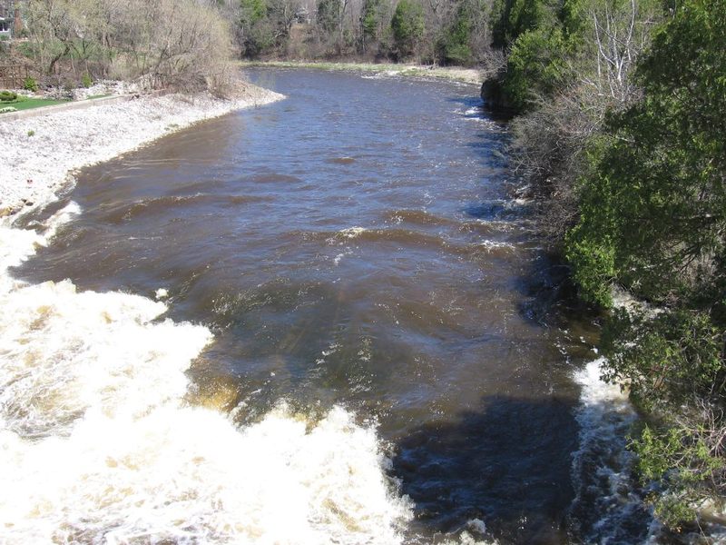
Width: 125' Length: 250'
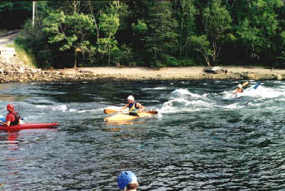
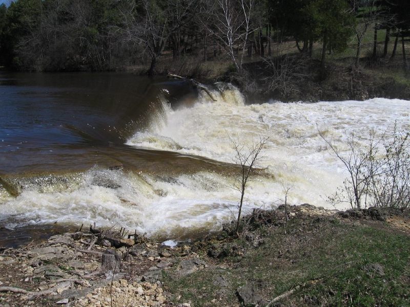
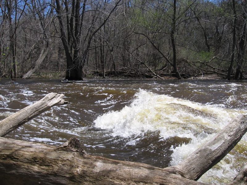
A sloping bedrock ledge provides an exciting/wild ride for novice boaters, but only minor potential for whitewater play. Specifically, there are minor play opportunities at low-to-moderate flows (on the order of 200-600 cfs or so). As levels rise, some play may still be possible, but it becomes tough to get repeat play, as eddies are few and current is pushy.
There are a couple different choices of route down this drop (and it's runnable about anywhere with high enough flows). The most usual routes are fairly well to the right (but about 20-30 feet offshore) or well to the left (about 10-15 feet offshore). Either way, some maneuvering and quick reactions and bracing are likely to be necessary as the currents twist and turn off various bedrock and rock-rubble intrusions into the flow from the base of the main ledge and the runout beneath the bridge.
This feature should be scouted before putting on upstream, to be certain of your comfort with running it (at the water level you have when you are there), since both sides of the river are private residential property with signage against trespass!
If you feel you'll need to portage, you have three options:
A) KEEP YOUR FEET WET! (Not a very good option since there is much rocky rubble (river-right) and slippery bedrock (mainstream and river-left), along with strong currents at best boatable flows.)
NOTE: Many people (both fishermen and boaters) seem unaware that Wisconsin's law was changed many years back to 'keep your feet wet'. If you are on dry land which is not public parkland or officially designated public portage path, you are trespassing!
B) While setting shuttle, knock on the door (either home, river-right or river-left) to ASK permission to (very briefly and most directly) traverse downstream. (If you don't find either owner home to get a 'Yes', then it's a 'NO!')
C) If you won't/don't do either of the above, you need to skip the upper stretch and put-in either here (at the Falls Road bridge, downstream of the main drop) or someplace downstream!
Note: there may be some random remaining rebar (metal rods) and there is definitely much rock rubble in the river at these ledges. Numerous large rocks and bedrock splines lie just beneath the surface (especially in areas closest to either shore) and will be brutal on boaters who flip or swim. If you aren't justifiably confident that you won't flip or swim, it may be best not to run this drop or play on any of the features here!
Location
Other Rapids on This Run (15)
 Hazard
N/A
Hazard
N/A
 Playspot
I
Playspot
I
 Playspot
I
Playspot
I
 Playspot
I
Playspot
I
 Playspot
I
Playspot
I
 Playspot
N/A
Playspot
N/A
Current Conditions
5-Day Forecast
American Whitewater