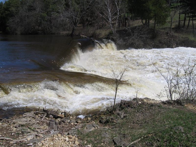
FORMER site of Lime Kiln Park Dam
Save this feature with the run it belongs to.
Gauge Conditions
Approximate - nearest available gauge. Use as general reference only.
Photo
Description
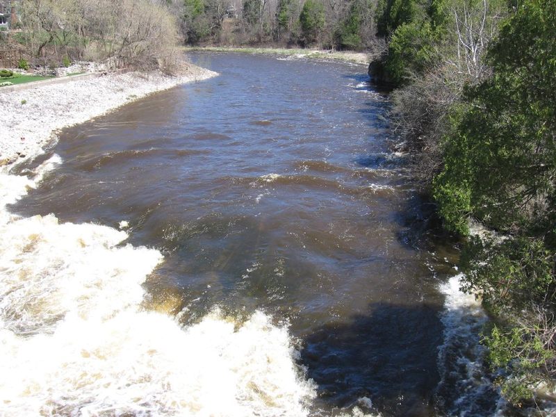
Passing under Falls Road, a quarter-mile paddle (through uneventful 'bobble water' shoals) brings you to Lime Kiln Park, where you'll see a small rocky prominence just prior to the second former dam-site. Removal of this relatively short (but classic 'killer' low-head) dam was completed during winter, 2010/2011.
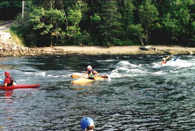
The river is very deep where the dam was (making it a very popular fishing hole). Again, there may be some very decent eddylines with great depth. (Another fine place for a squirt boat or longer 'old-school' playboat, to do bowstalls and sternsquirts, though realistically, the eddylines and opportunities are better in the two spots previously mentioned.)
Immediately downstream, an island will be encountered (likely with a collection of wood broached at its head). The left channel is minor riffles and rips, leading to a slightly undercut wall as the river is diverted to the right to rejoin the other channel.
Location
Other Rapids on This Run (15)
 Hazard
N/A
Hazard
N/A
 Playspot
I
Playspot
I
 Playspot
I
Playspot
I
 Playspot
I
Playspot
I
 Hazard
II+
Hazard
II+
 Playspot
N/A
Playspot
N/A
Current Conditions
5-Day Forecast
American Whitewater