Rapid
MI
Confluence with Copper Creek
Save this feature with the run it belongs to.
Gauge Conditions
Runnable: 2.8 – 6.9 FT
Almost certainly too low. Help your fellow boaters! We need input to fine-tune boatable levels. Add a comment or report!
Runnable: 6.2 – 6.6 FT
Almost certainly too low for whitewater run. (We need your input! Add a report to help define/refine these ranges.)
Data from American Whitewater & USGS
Photo
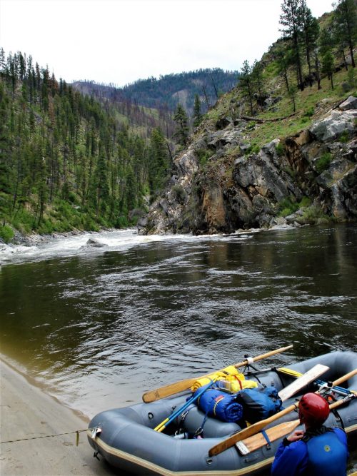
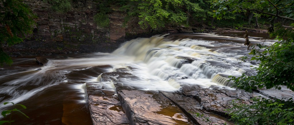
Photo courtesy of American Whitewater
Description
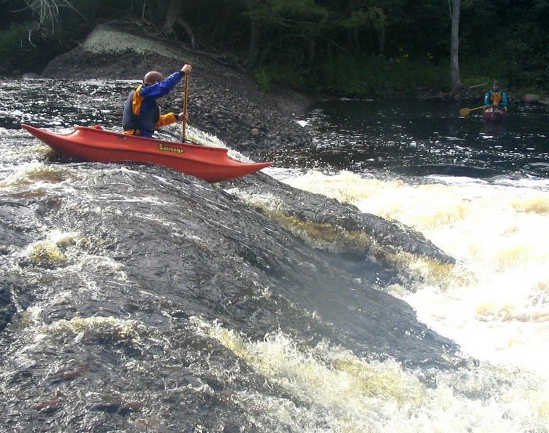
At the confluence with Copper Creek, the Presque Isle River experiences a notable shift in gradient and flow characteristics. While specific details are limited, paddlers should be prepared for potential increased turbulence and potential hydraulic features where the two waterways merge. Careful route selection and awareness of potential submerged obstacles will be critical when navigating this section.
Location
Interactive river map
Loads as you approach this section.

View Full Run
C) Steigers Bridge to South Boundary Road (8.2 miles)
Presque Isle
III-V
8.5 mi
Current Conditions
5-Day Forecast
Whitewater data from
American Whitewater
American Whitewater