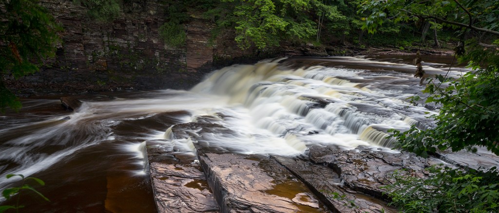
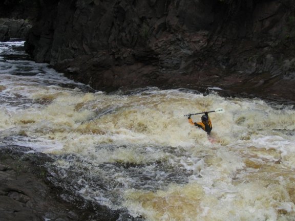
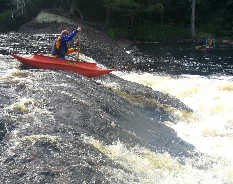
Lepisto Falls
Save this feature with the run it belongs to.
Gauge Conditions
Almost certainly too low. Help your fellow boaters! We need input to fine-tune boatable levels. Add a comment or report!
Almost certainly too low for whitewater run. (We need your input! Add a report to help define/refine these ranges.)
Photo
Description
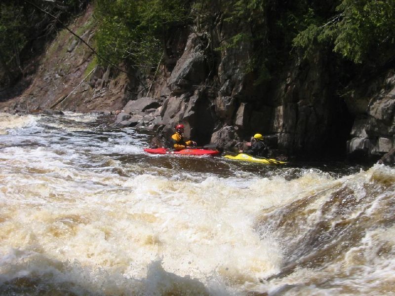
Lepisto Falls is not that much of a drop, but can be nearly as troublesome for boaters as some of the larger falls. The river spills over a hump of bedrock which has been scoured and sculpted into some weird folds. At most 'normal' flows, there will be an exposed area of bedrock midstream where you can beach the boats to scout the drop. The river is fairly wide here, so it can be difficult to be certain of your line: Too close toward the exposed area and you may piton into a scoured back-cut in the bedrock (as a string of boaters, each following the prior one's line, did back in the days of long boats, resulting in a number of badly sprained ankles). Too far from the exposed area and you head into a wave/hole in front of an exposed rock midway down. Run between the two, and you're good. However, at the base of the sliding drop, a potentially quite 'keepy' hole (depending upon the flow) awaits.
For those not wishing to deal with the potential consequences of the route(s) just described, there is at least one good sneak. Head way to river-right, where the flow (if I recall correctly, from many, many years back) drops down a more jumbled rapids.
Location
Current Conditions
5-Day Forecast
American Whitewater