Iagoo Falls
Save this feature with the run it belongs to.
Gauge Conditions
Runnable: 2.8 – 6.9 FT
Almost certainly too low. Help your fellow boaters! We need input to fine-tune boatable levels. Add a comment or report!
Runnable: 6.2 – 6.6 FT
Almost certainly too low for whitewater run. (We need your input! Add a report to help define/refine these ranges.)
Data from American Whitewater & USGS
Photo
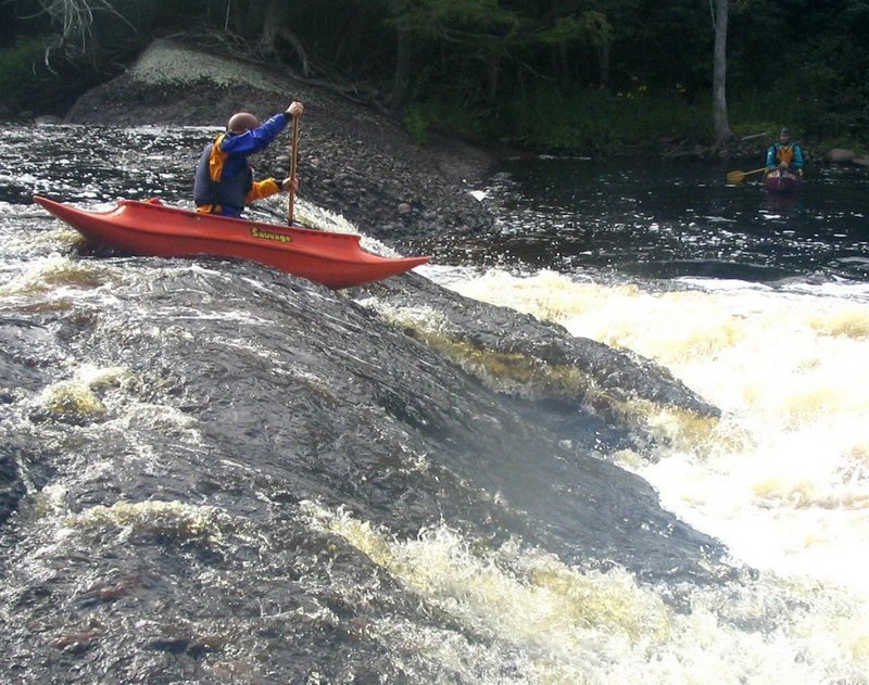
Photo courtesy of American Whitewater
Description
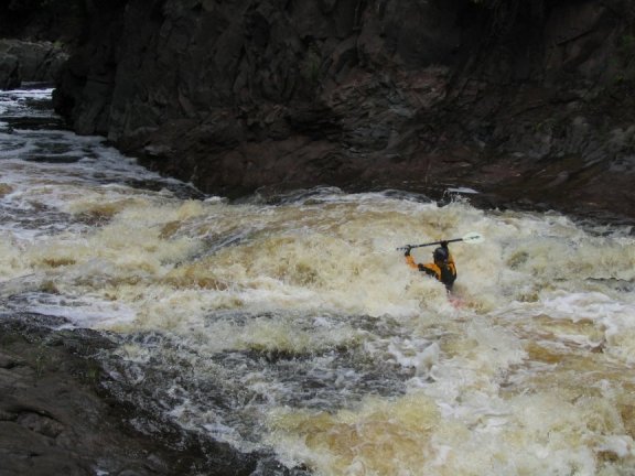
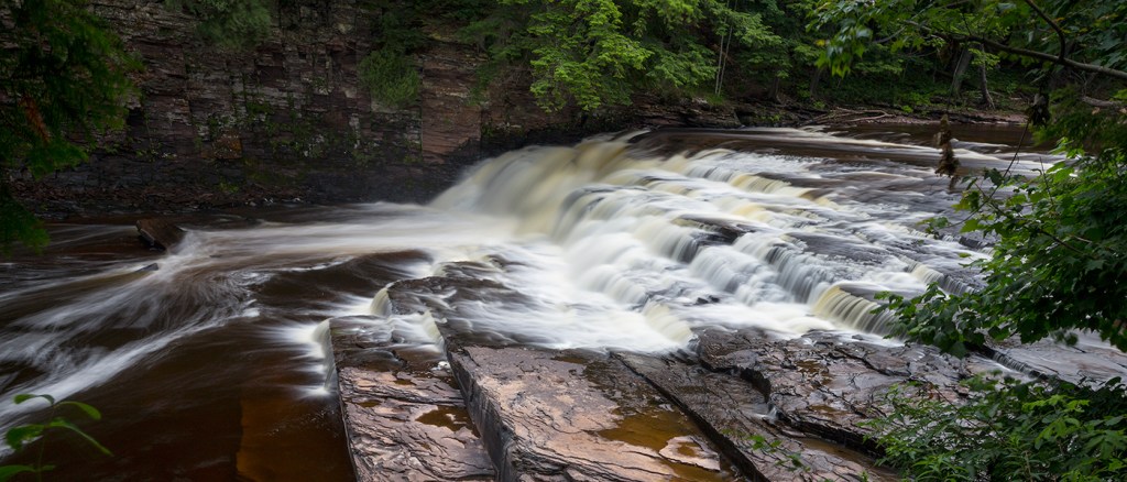
This is similar (in general appearance) to Lepisto, but without the folded back-cut bedrock. The flow spills across a river-wide transverse hump of rock. Depending on flow and precisely where you 'attack' this, you may encounter a fairly significant wave/hole.
This may be named after the Indian legend of Iagoo, (that's i-a-g-o-o) the story teller. One good source for more about this legend is http://scienceviews.com/indian/fairytales2.html
Location
Interactive river map
Loads as you approach this section.
View Full Run
C) Steigers Bridge to South Boundary Road (8.2 miles)
Presque Isle
III-V
8.5 mi
Current Conditions
5-Day Forecast
Whitewater data from
American Whitewater
American Whitewater