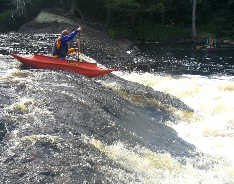
Rapid
MI
USGS site
Save this feature with the run it belongs to.
Gauge Conditions
Runnable: 2.8 – 6.9 FT
Almost certainly too low. Help your fellow boaters! We need input to fine-tune boatable levels. Add a comment or report!
Runnable: 6.2 – 6.6 FT
Almost certainly too low for whitewater run. (We need your input! Add a report to help define/refine these ranges.)
Data from American Whitewater & USGS
Description
USGS lists a site at S.Boundary Road citing drainage at that point as 358 square miles, or ~1.8*Black at its gauge.
Location
Interactive river map
Loads as you approach this section.
View Full Run
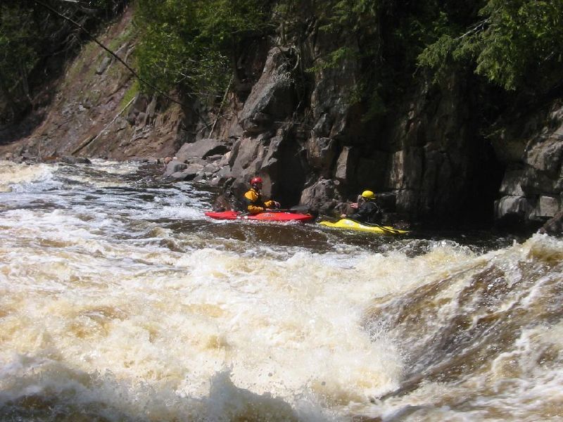
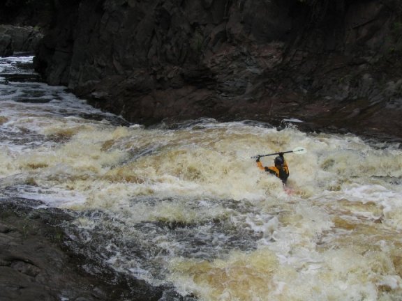
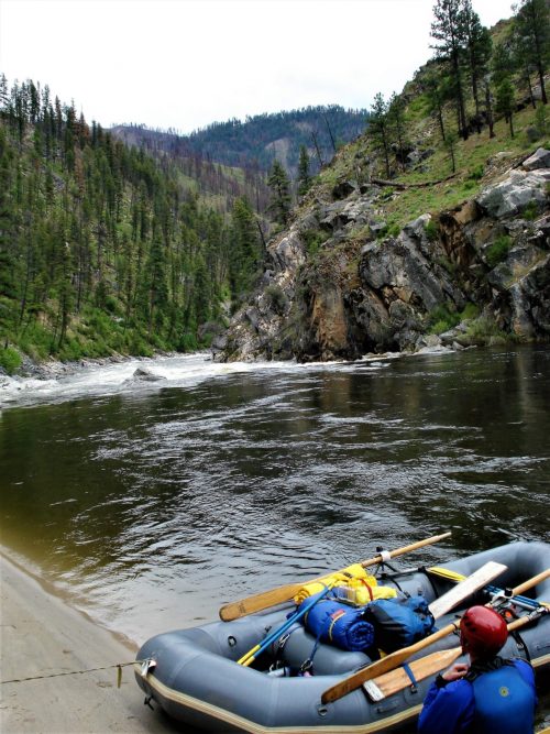
C) Steigers Bridge to South Boundary Road (8.2 miles)
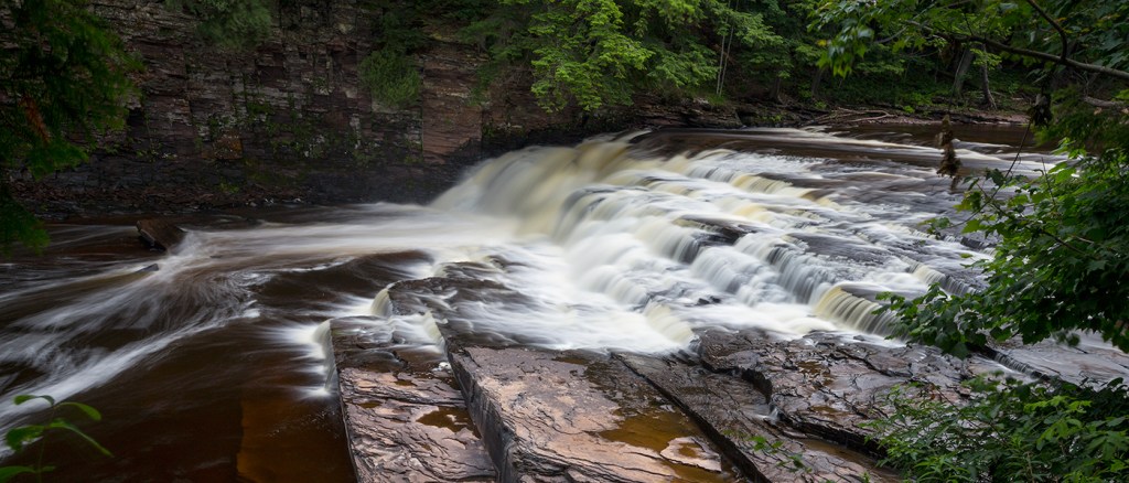
Presque Isle
III-V
8.5 mi
Current Conditions
5-Day Forecast
Whitewater data from
American Whitewater
American Whitewater